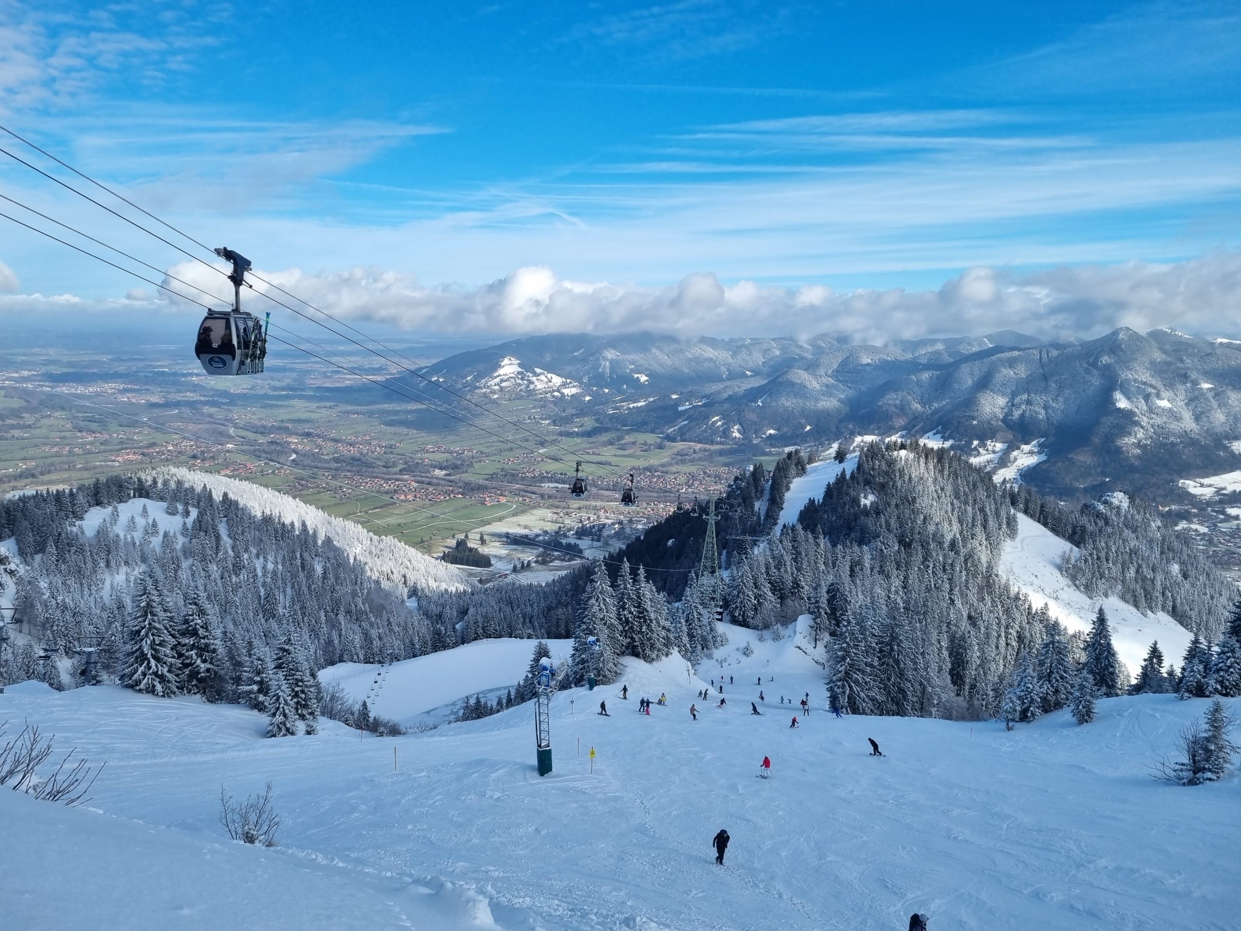
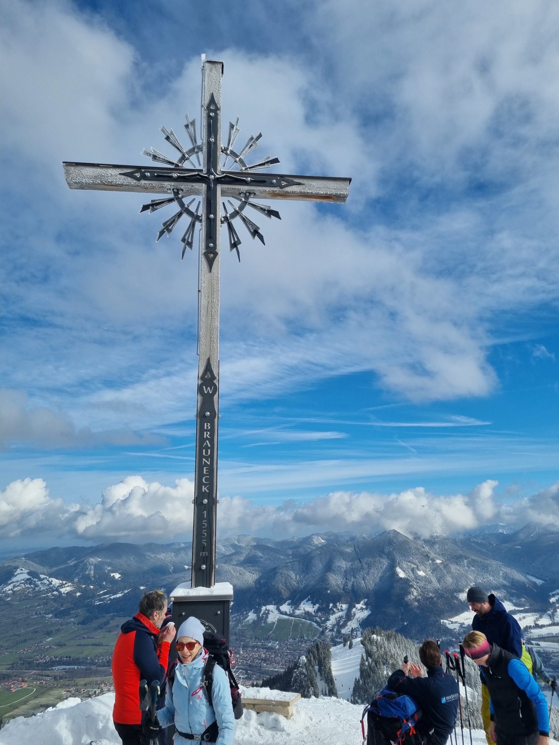
The Brauneck (1555m) is probably one of the best-known mountains around Munich.
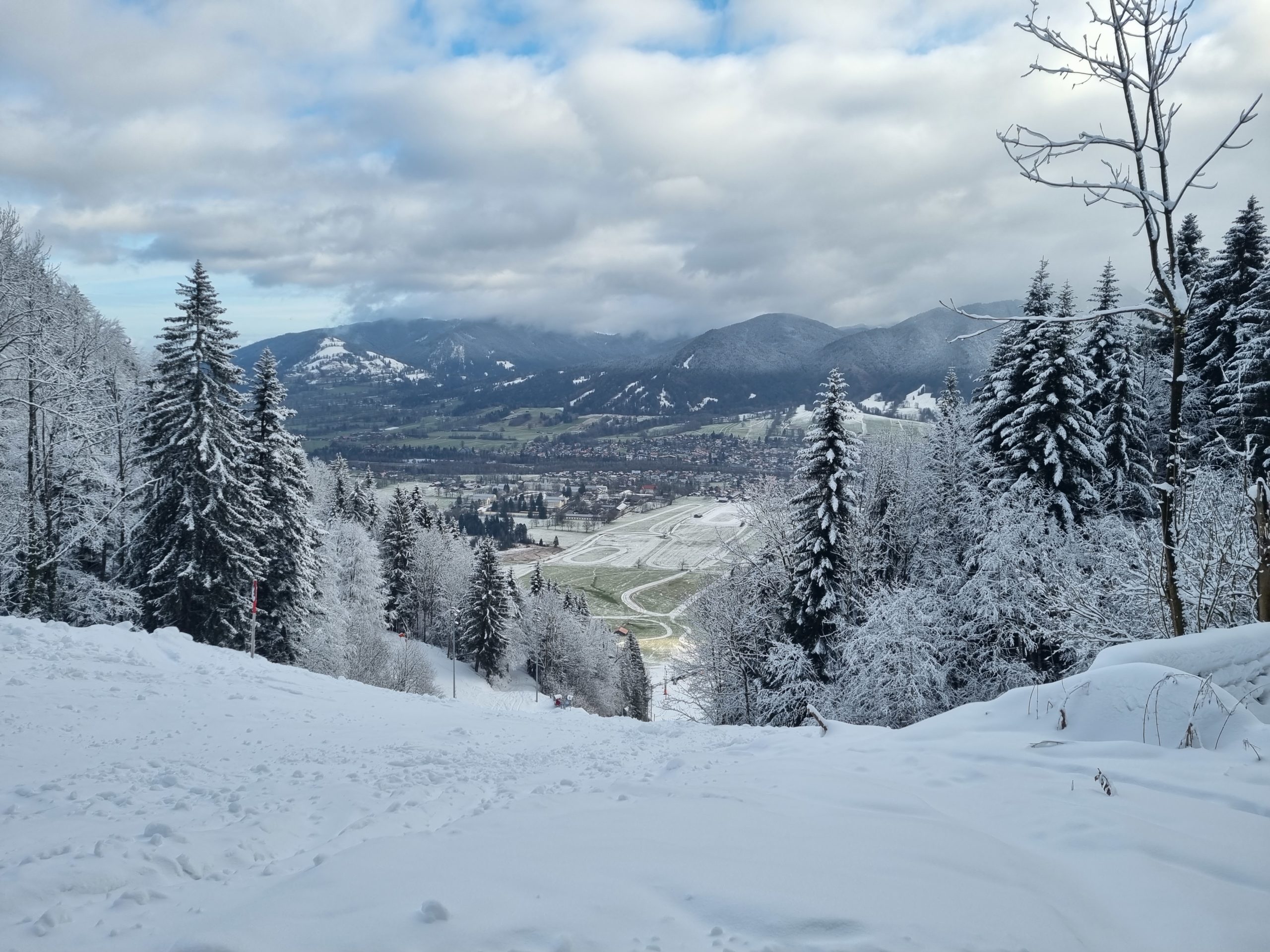
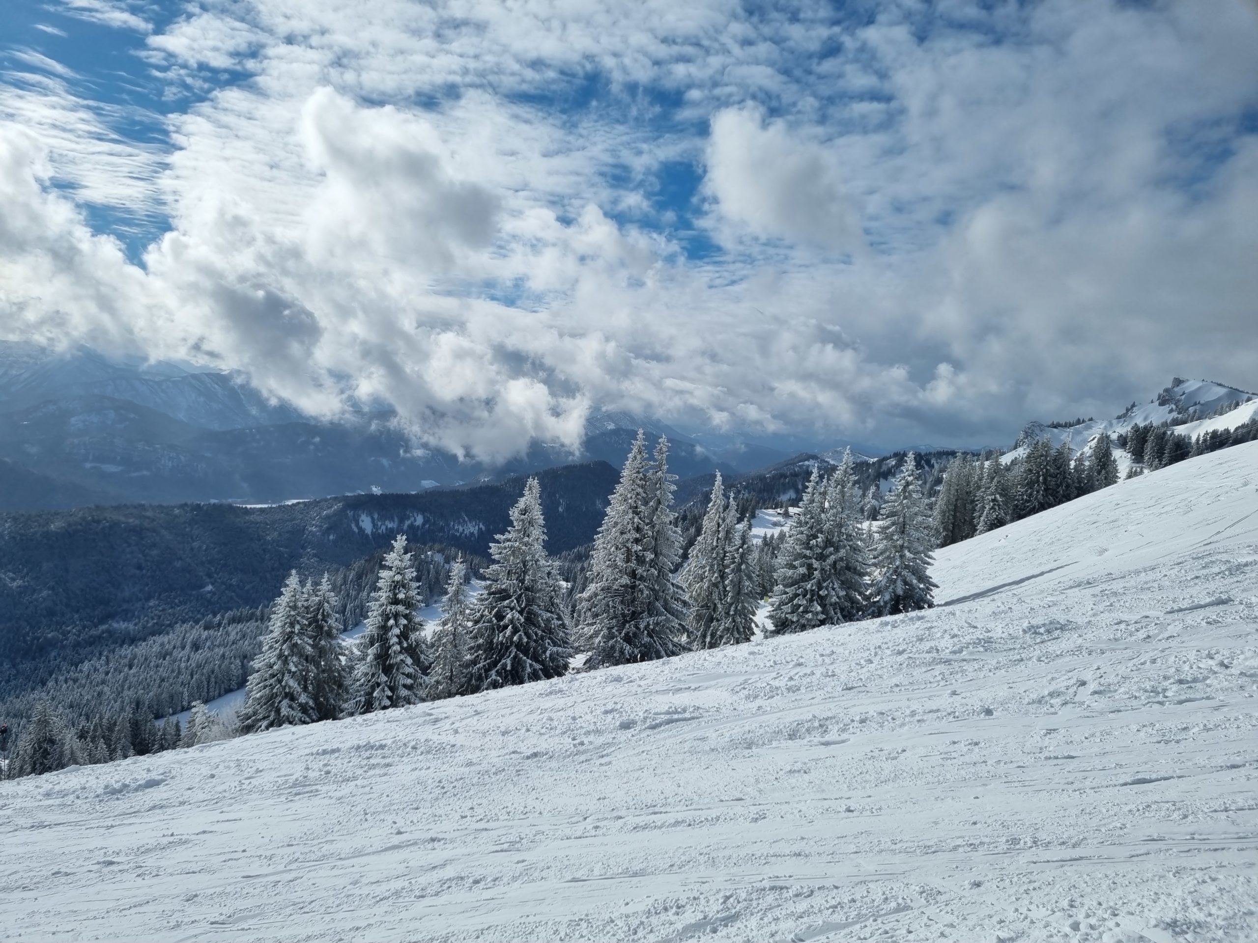
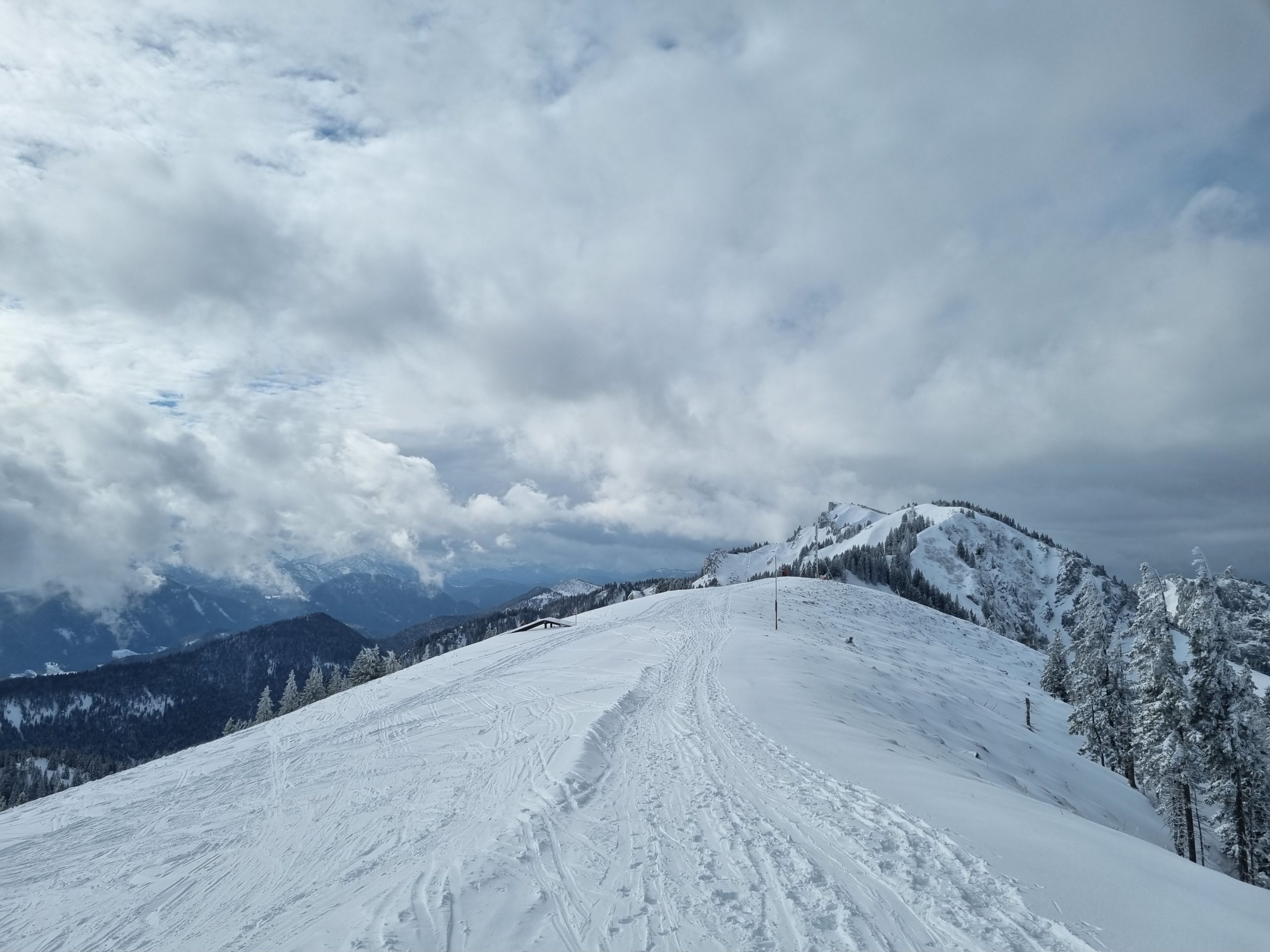
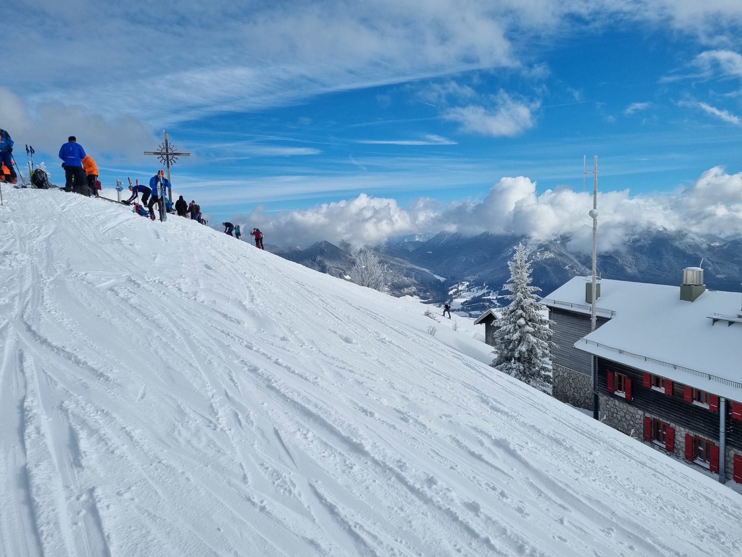
Although there is always a lot going on here, the summit’s view is worth seeing. Due to the high prominence of the mountain, there is a super distant view in all directions.
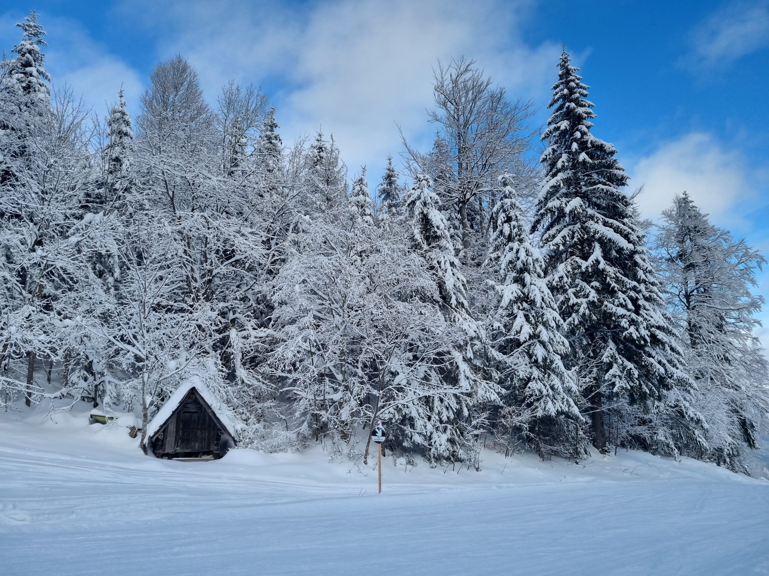
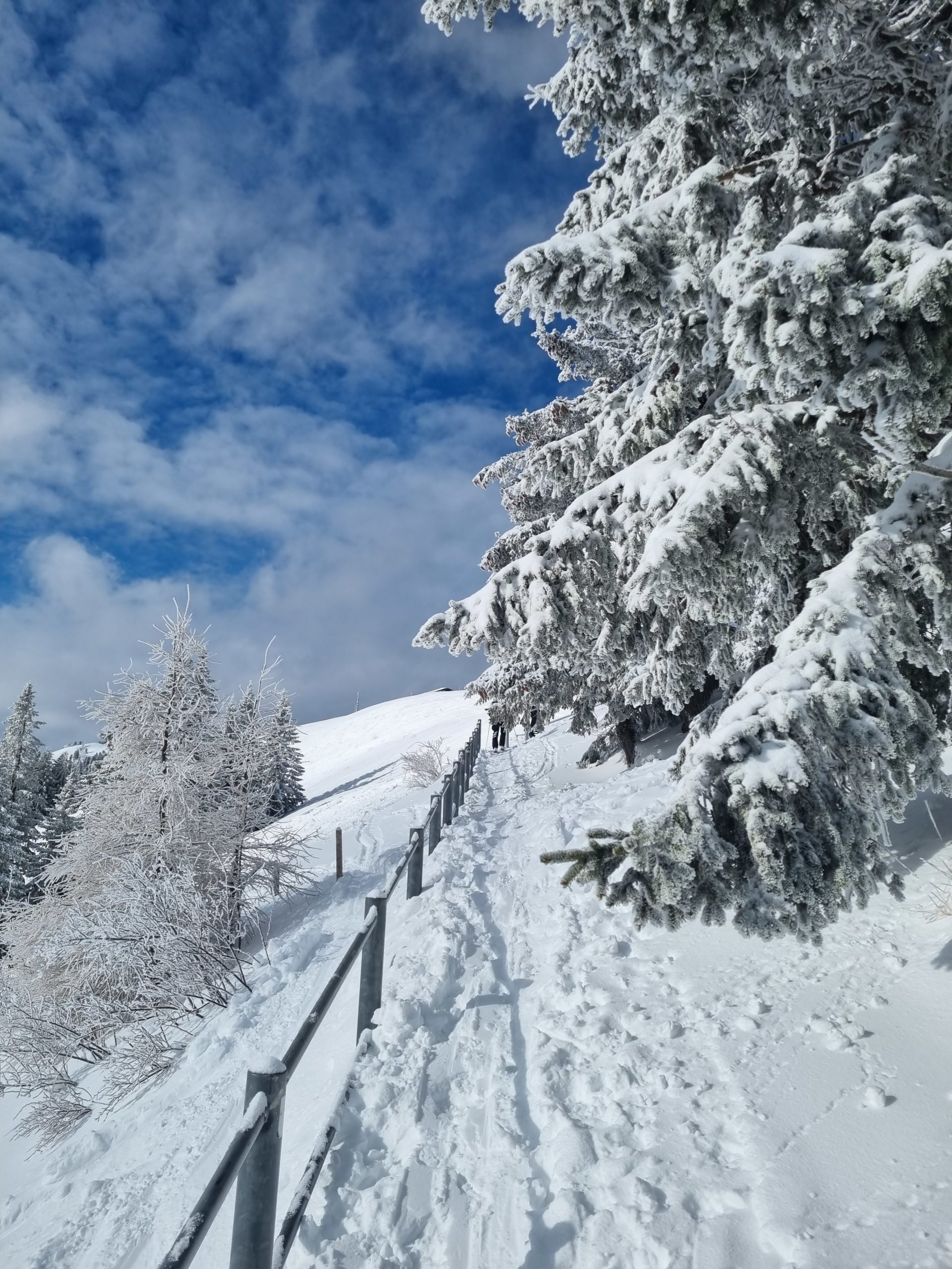
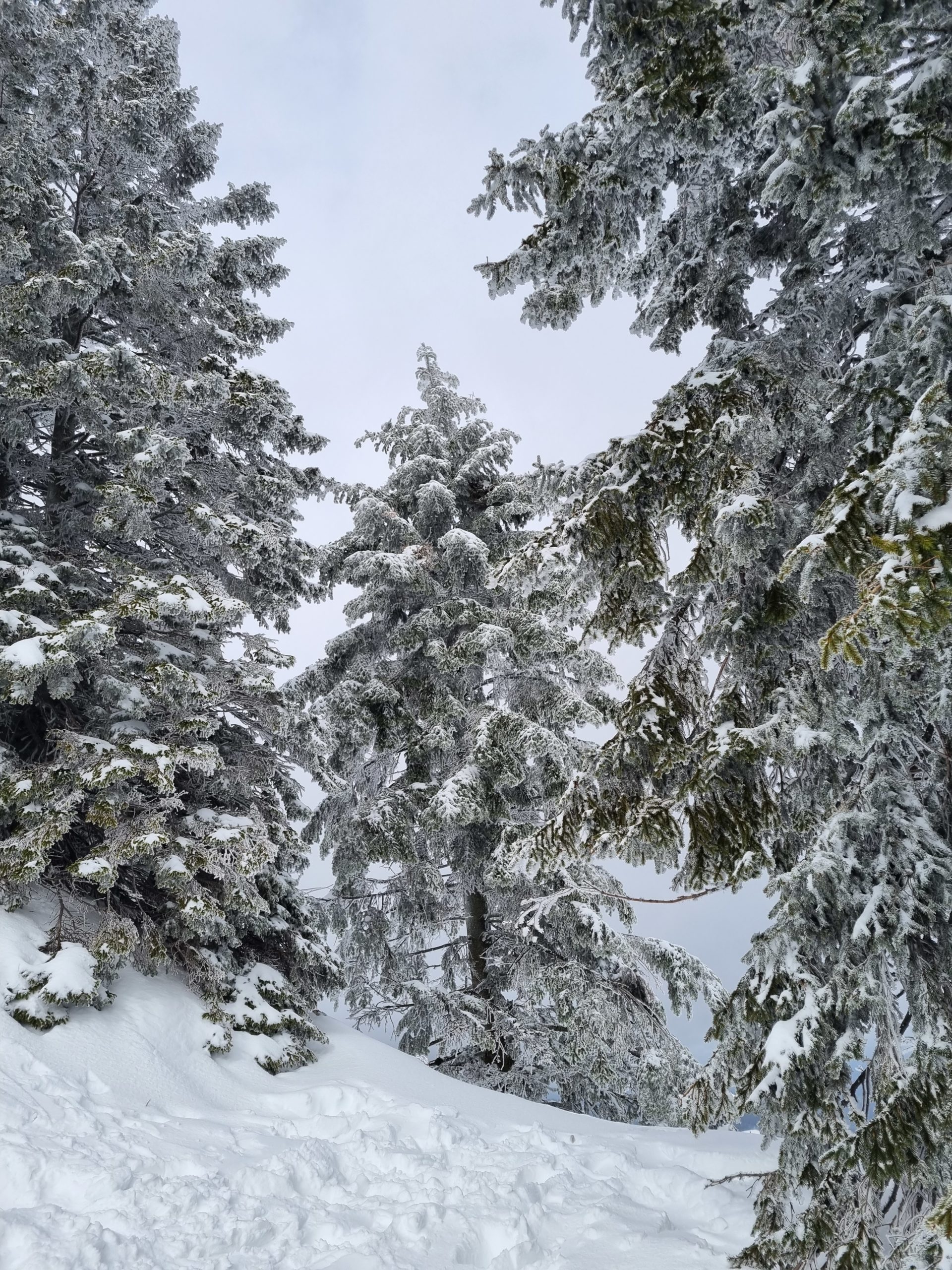
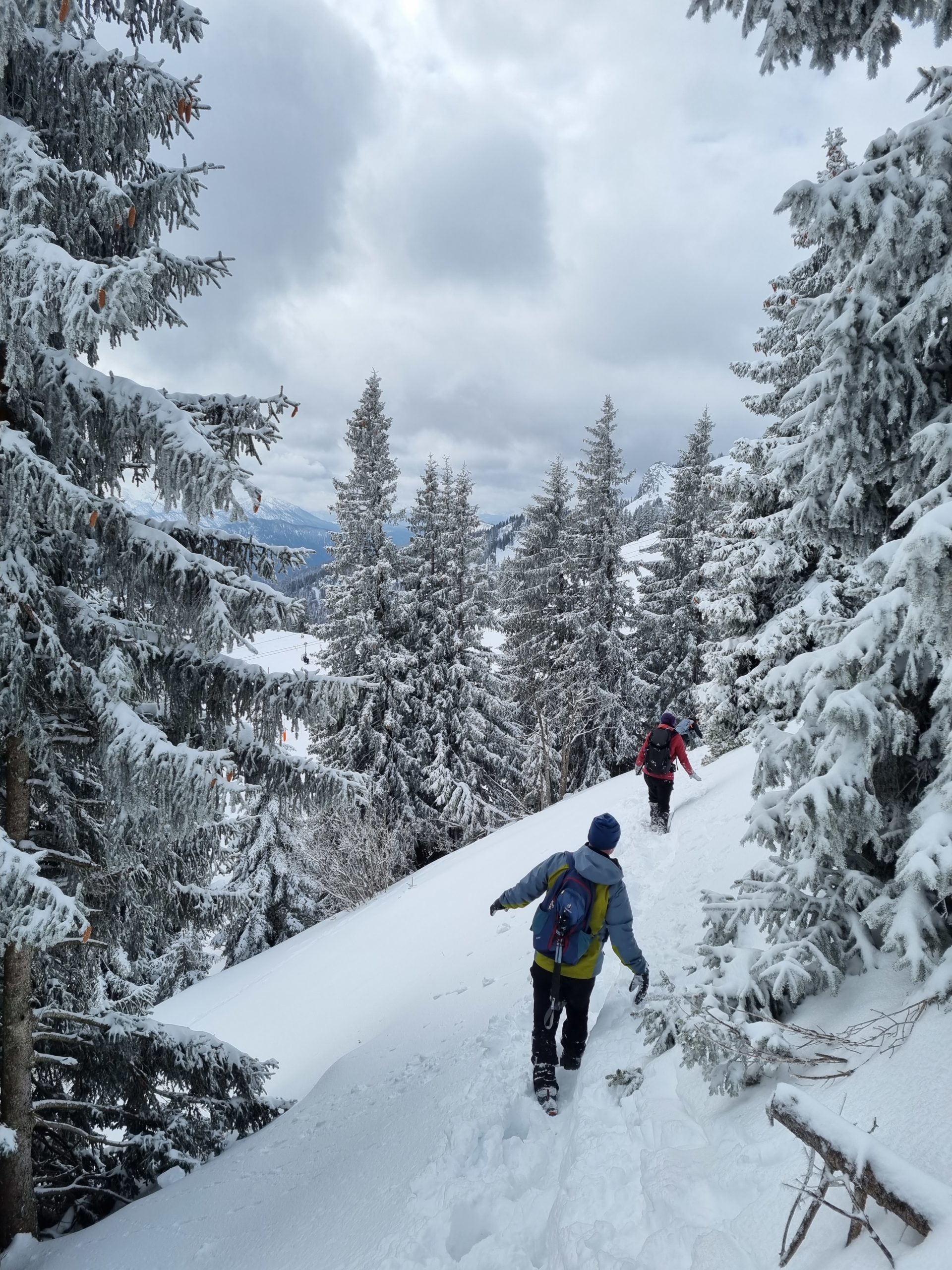
We describe here the fairly direct ascent from the valley station so that you can optionally take the mountain railway downhill. The trail is a light forest path or trail throughout, but (especially the forest path) is very steep in parts. So it would help if you took it easy because the route does take a long time to reach the top. At the top, the panorama restaurant at the summit station or the DAV summit house awaits you for refreshments; right at the beginning, you can also stop at the Reiser Alm.
At the car park, we follow to the valley station, pass it on the left and then diagonally across the car park, where our trail begins. From here on we always follow the signs “Brauneck, Weg 9”. The time indications are quite sporty on the sign.
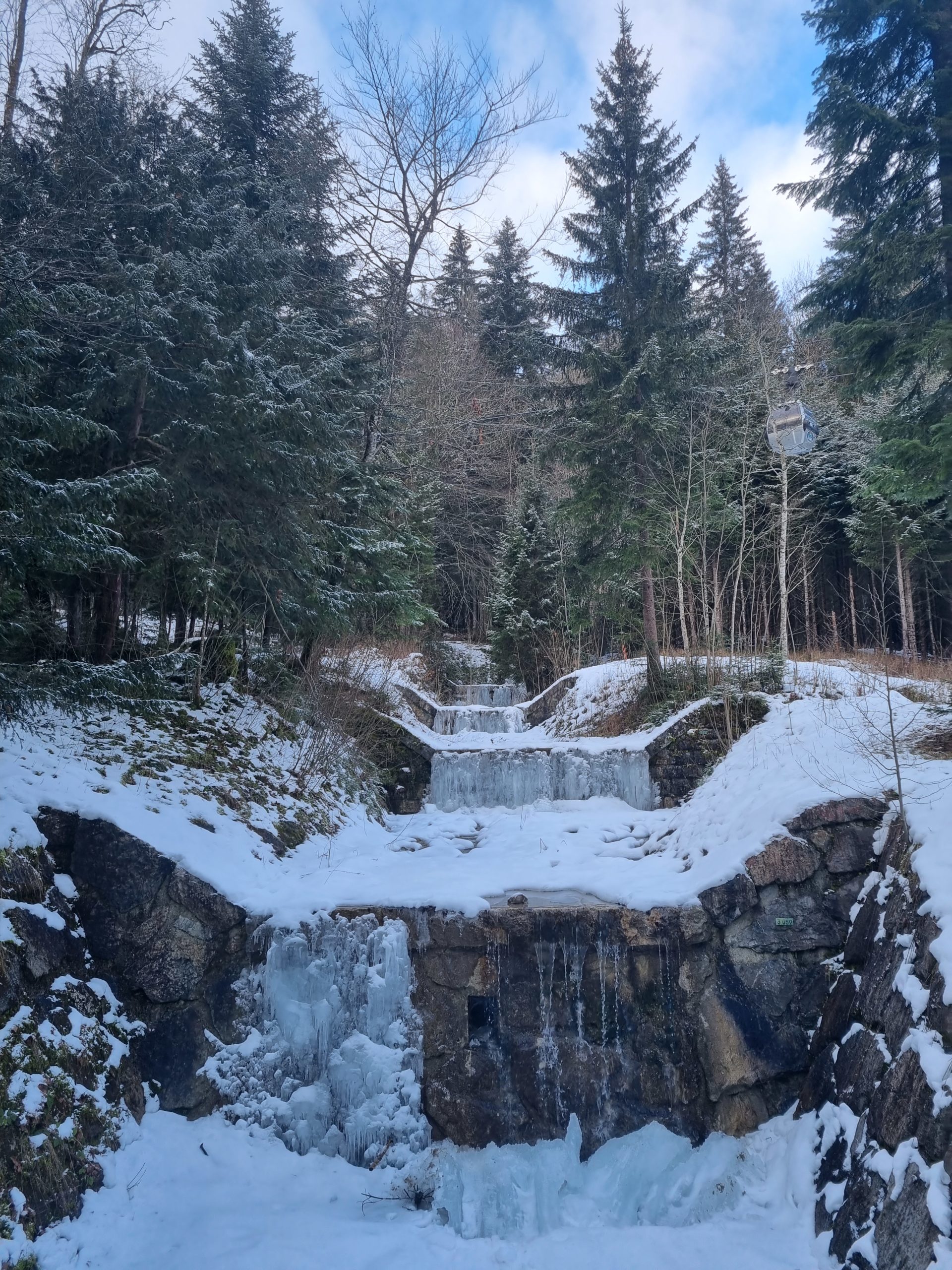
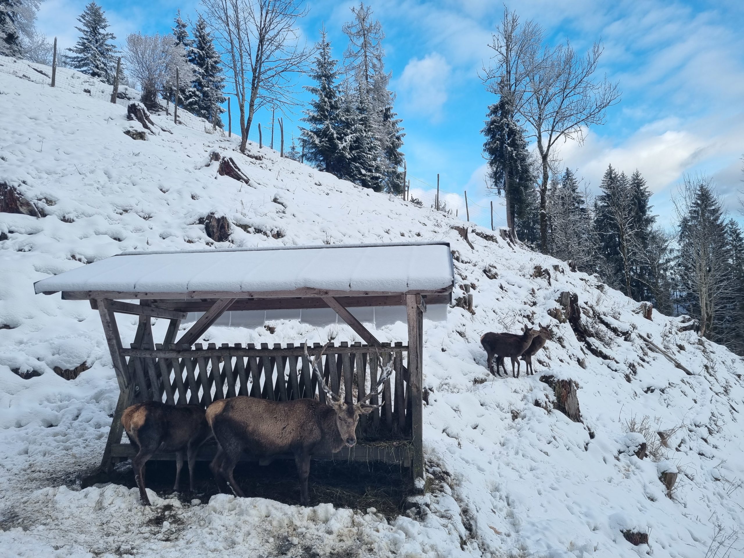
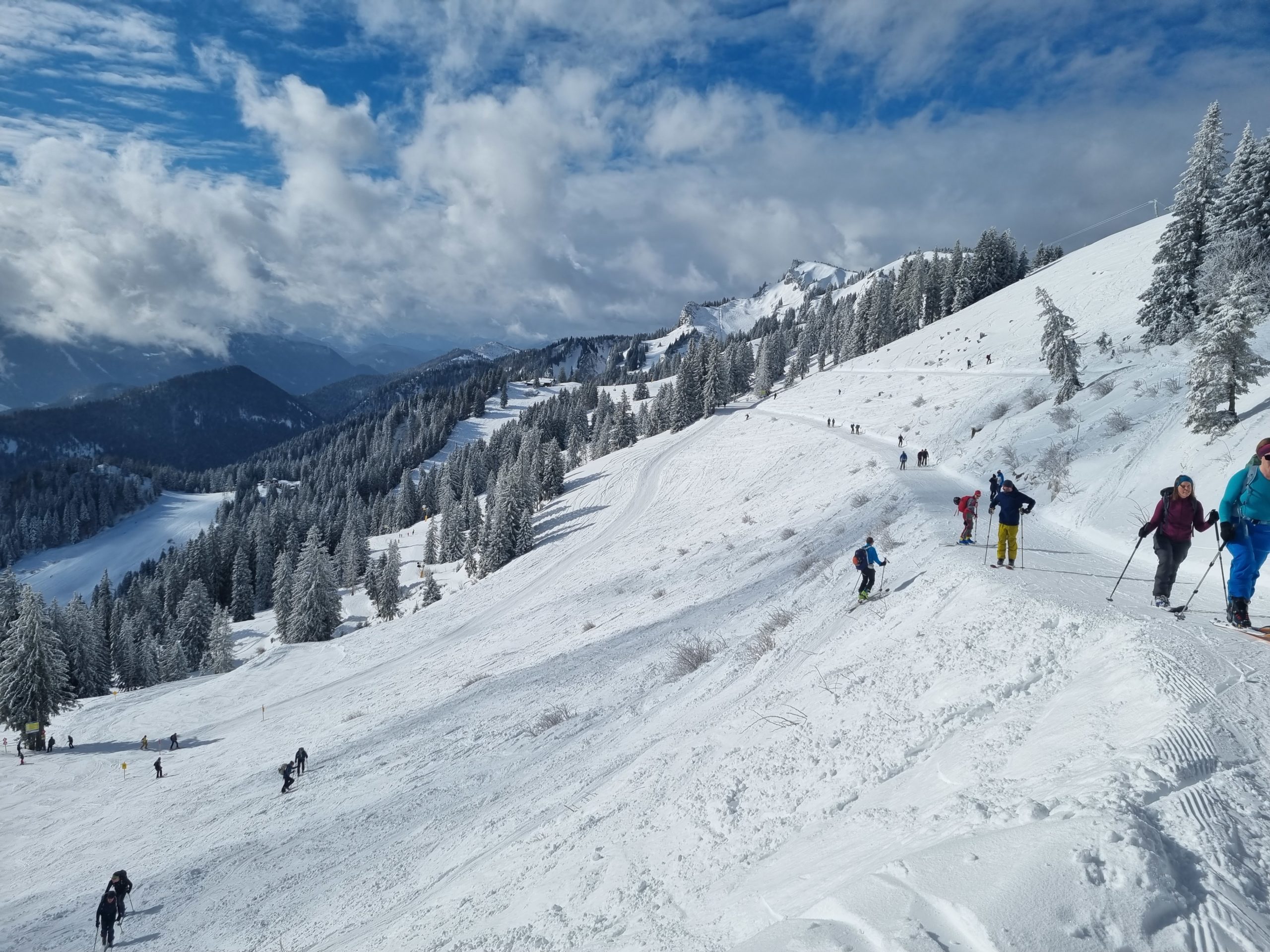
The forest path leads moderately uphill and becomes steeper. We pass next to the Reiser Alm and follow trail no. 9 further uphill here. After a while we reach a forest road again, which we follow uphill to the left. It winds along, then becomes steeper again and we reach a reservoir. Now we have our destination in sight. We continue to follow the forest path uphill before it turns into a path far above and we follow it strenuously up to the mountain station. Pass it on the left and follow it to the summit house and the peak of Brauneck directly above.
The Bayerische Regiobahn takes you from Munich to Lenggries every hour. Take the BRB, Netz Oberland to Lenggries, the RVO bus 9553 or 9564 will take you from the station directly to the valley station of the Brauneckbahn.
Address for navigation: Gilgenhöfe 28, 83661 Lenggries (large car park)
In detail: Salzburg motorway – Holzkirchen exit – Holzkirchen – Bad Tölz – Lenggries (always follow the signs to the mountain railways).