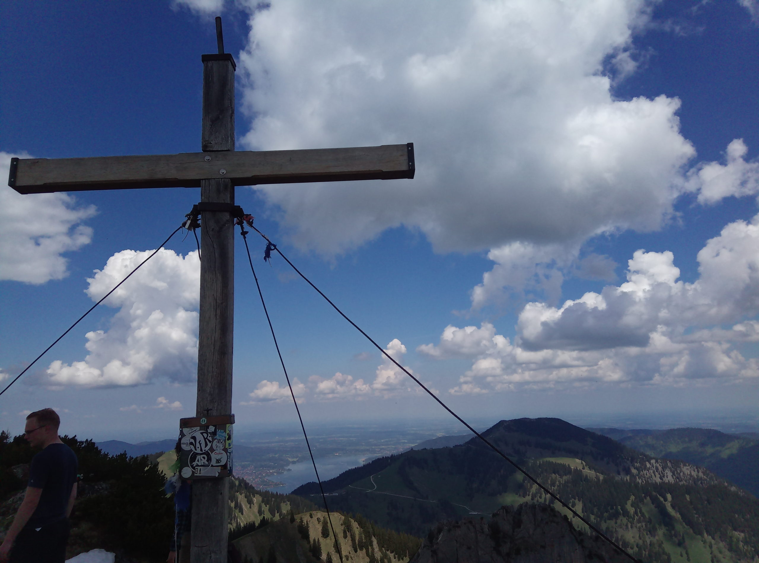
Risserkogel (1826m) is one of the highest and most panoramic Tegernsee mountains and is well accessible.
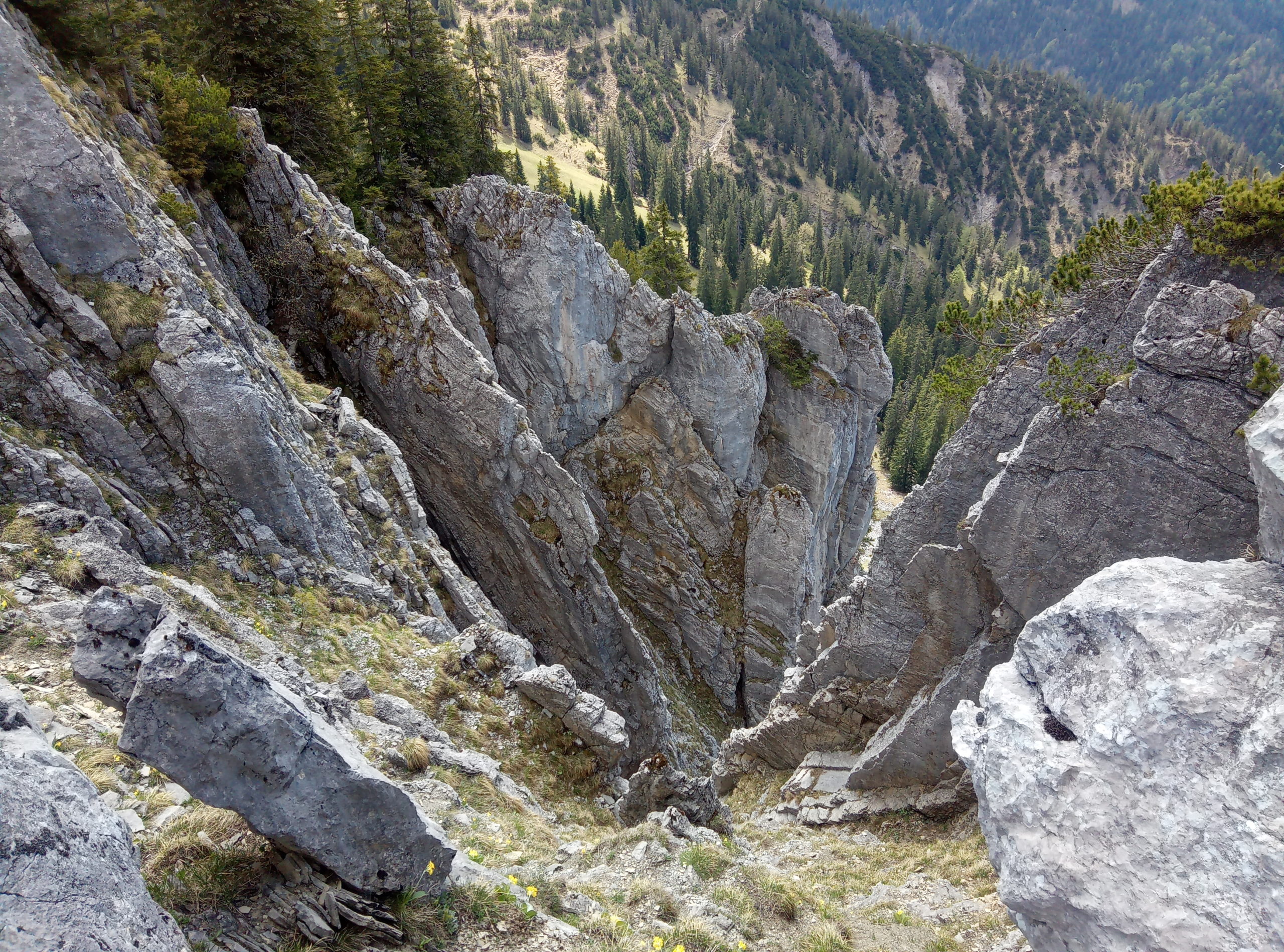
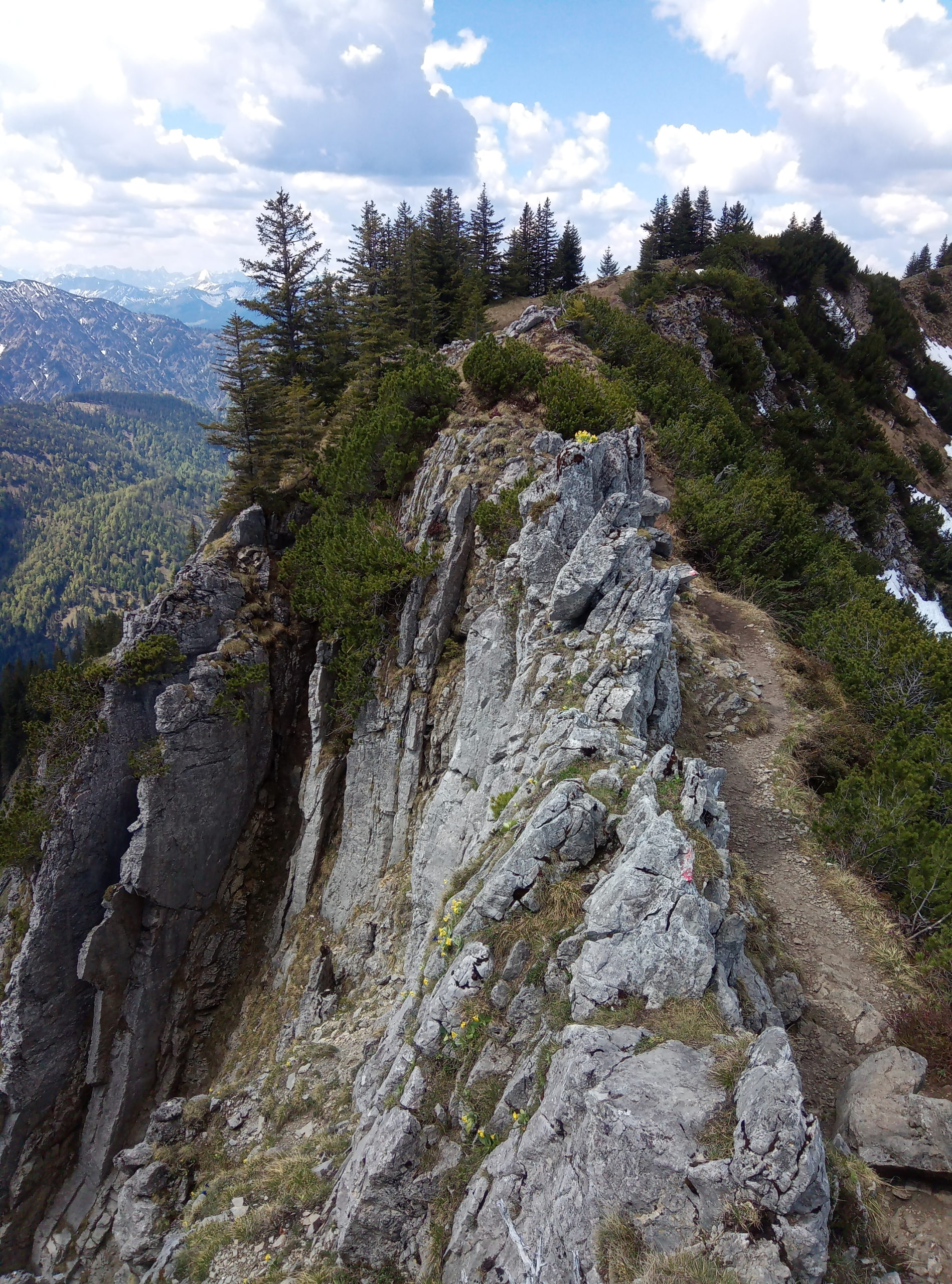
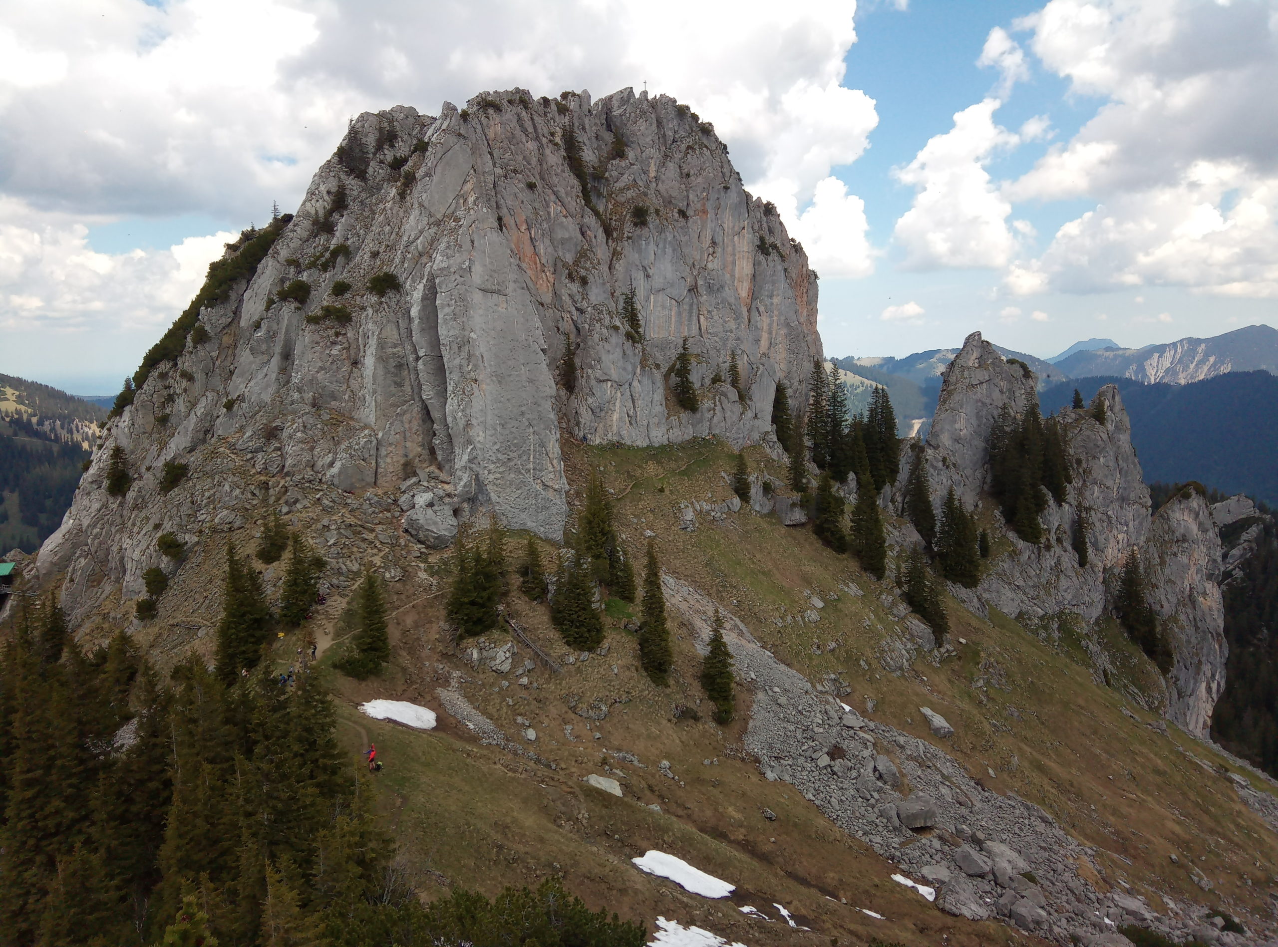
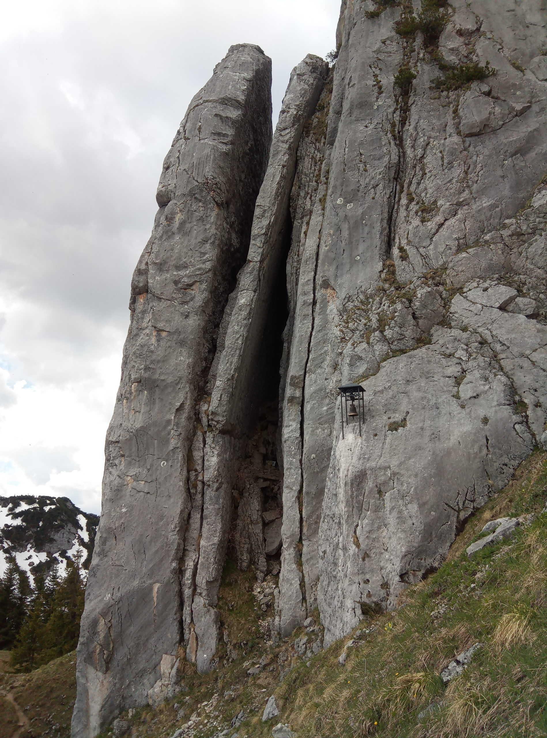
Up to Grubereck this is an easy mountain hike. The further route over the connecting ridge to the Risserkogel is moderately difficult and requires surefootedness and a head for heights. When wet, the slimmed-down rocks can be unpleasant.
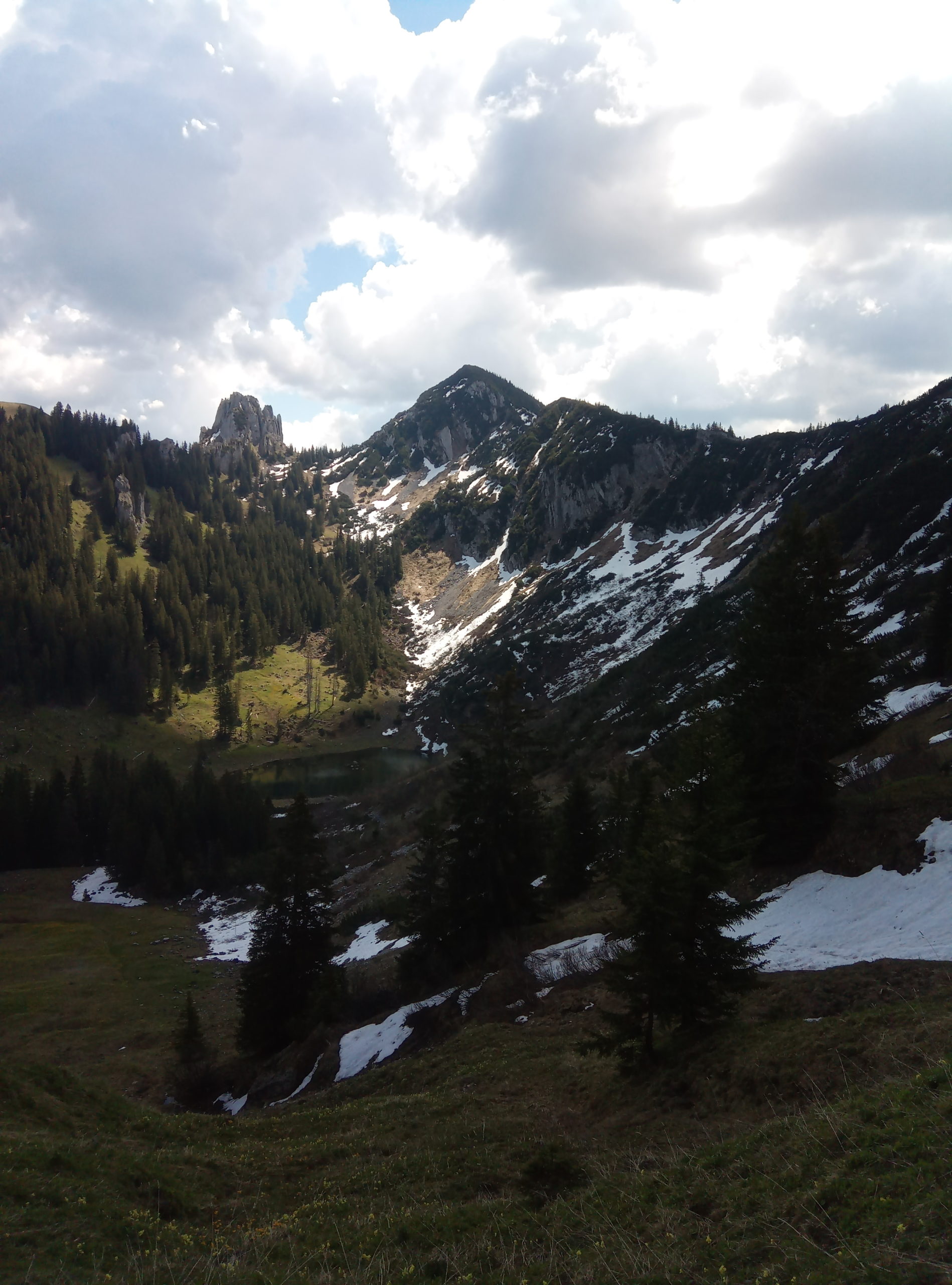
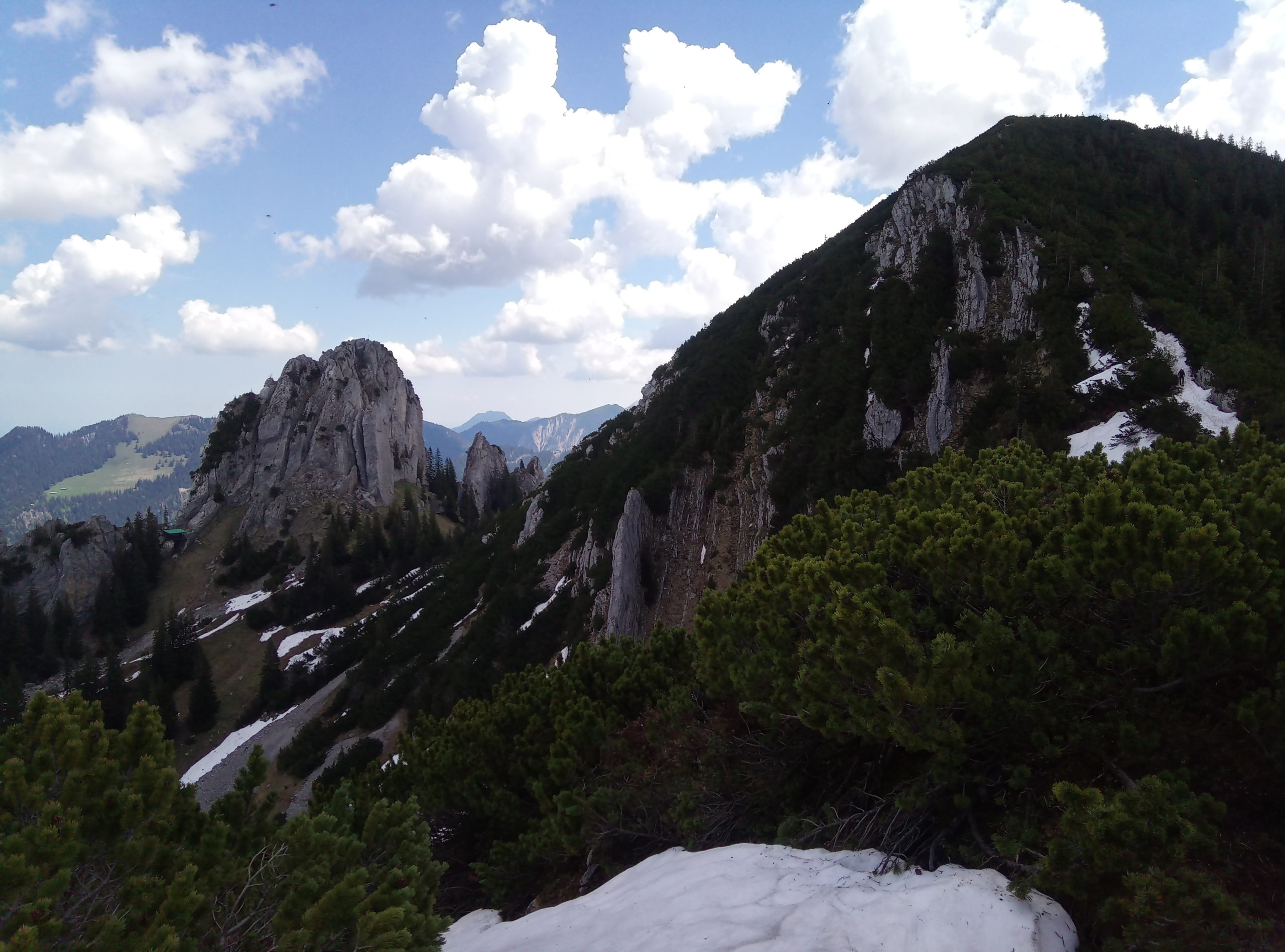
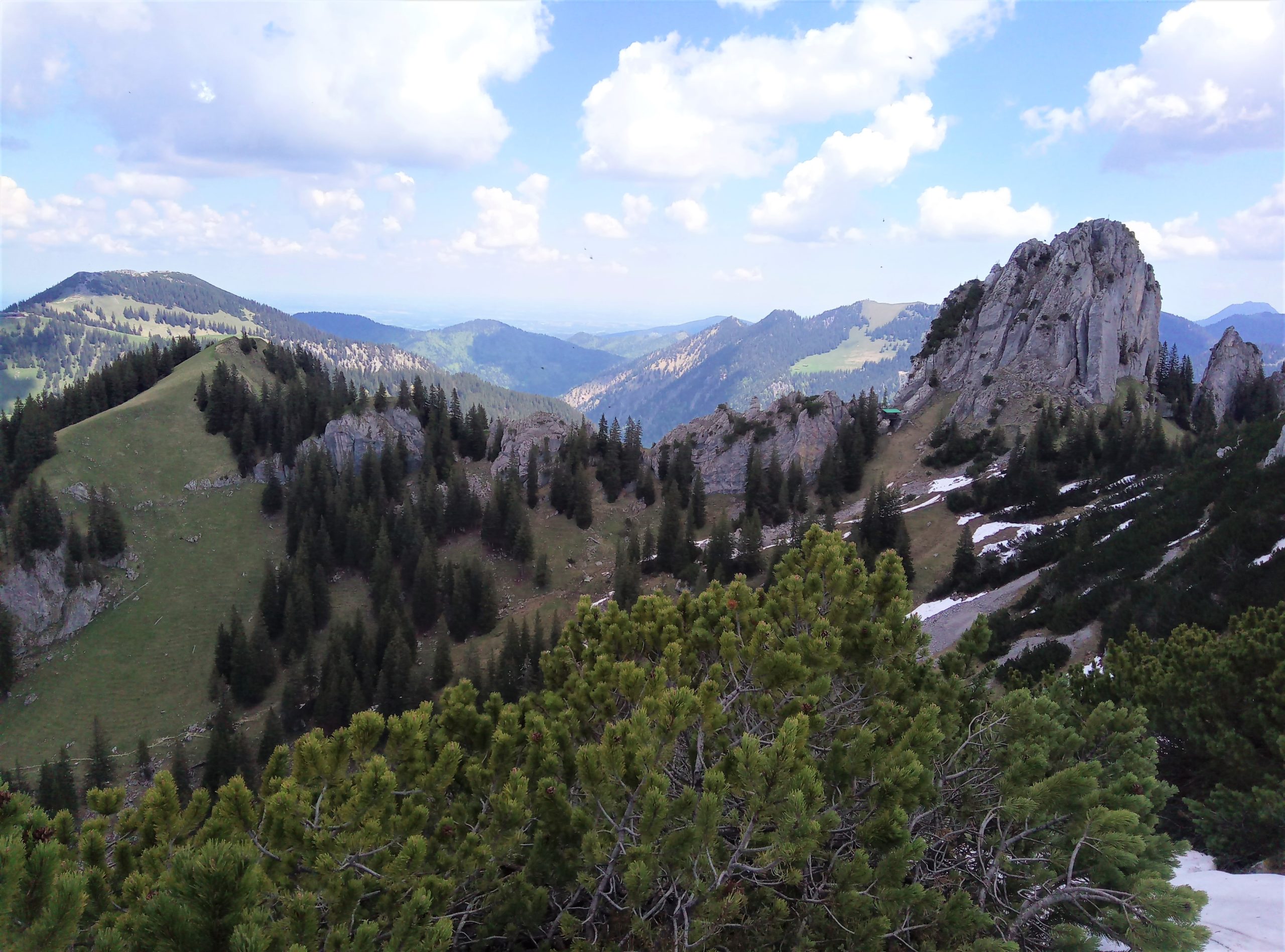
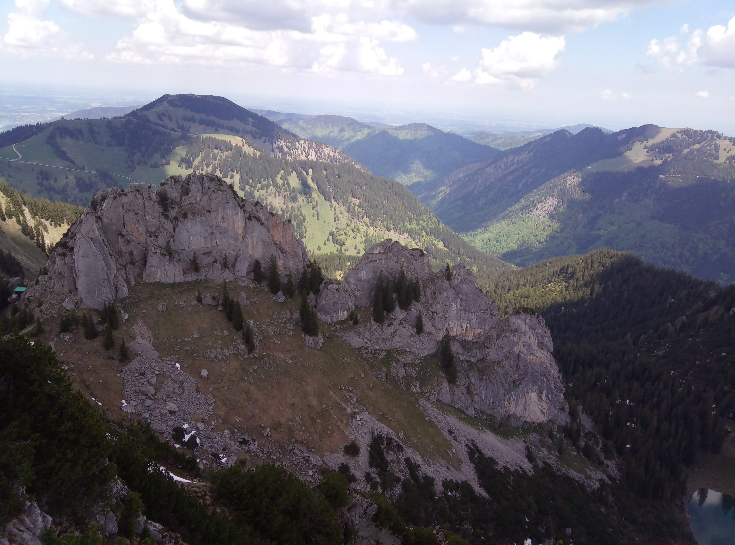
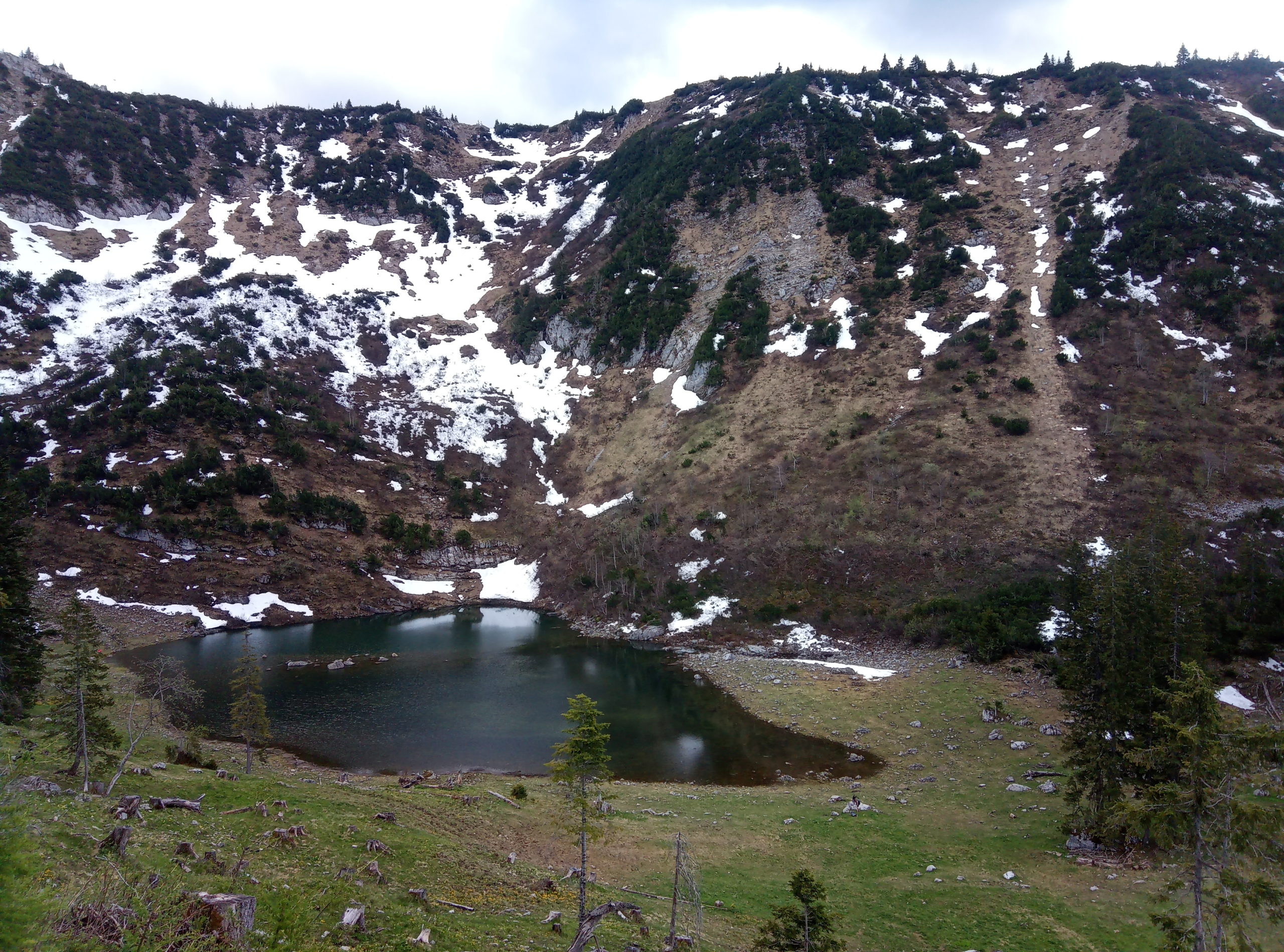
The Risserkogel is one of the most beautiful panorama mountains that can be found in the mountain world around Lake Tegernsee. The summit, which can be approached from several directions, is correspondingly popular and well visited. A less frequented and quieter ascent leads from Kreuth up to the Grubereck. There, at the latest, is the end of the solitude, because there you meet the ascent path that stretches across from the Wallberg.
The subsequent ridge hike to the Risserkogel is very interesting and offers great views. Here you can quickly overlook the fact that it is not so quiet on nice weekends.
With the Bayerische Regiobahn BRB to the Tegernsee stop. From Tegernsee train station, take RVO bus 9556 in the direction of Wildbad Kreuth to the Wallbergbahn stop, Rottach-Egern.
Navi address: Wallbergstraße, 83708 Kreuth.
If you start from Wallbergmoosalm (summer only!) take the toll road to the mountain pasture (subject to a charge, parking directly at Wallbergmoosalm).
Munich – Tegernsee exit – through Tegernsee always in the direction of Kreuth, after leaving Rottach Egern (well signposted) turn left in the direction of the Wallbergbahn, park by it.