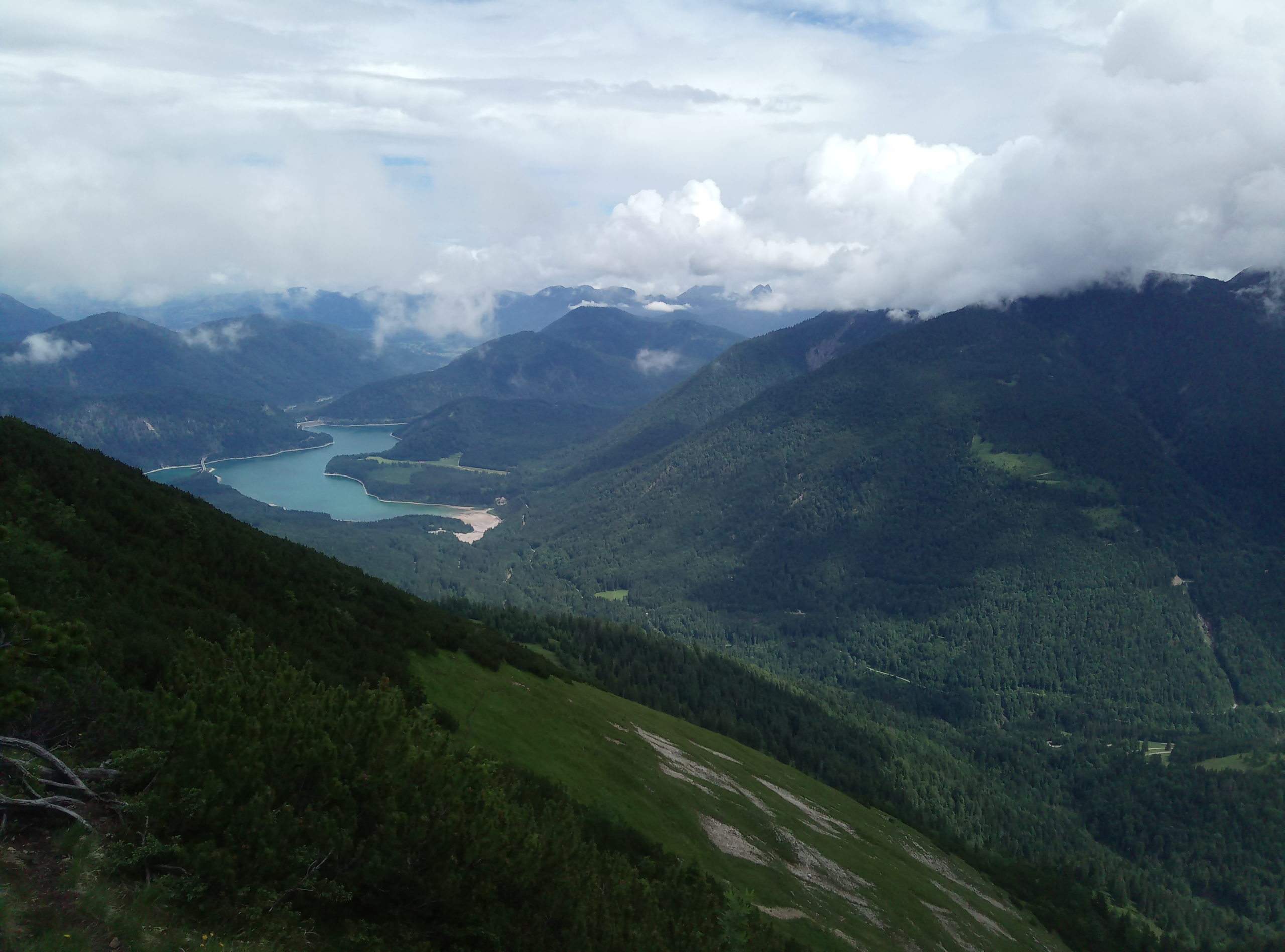
Technical moderate but rather long hike in the Pre-Karwendel with nice views to Sylvensteinsee and Schafreuter.
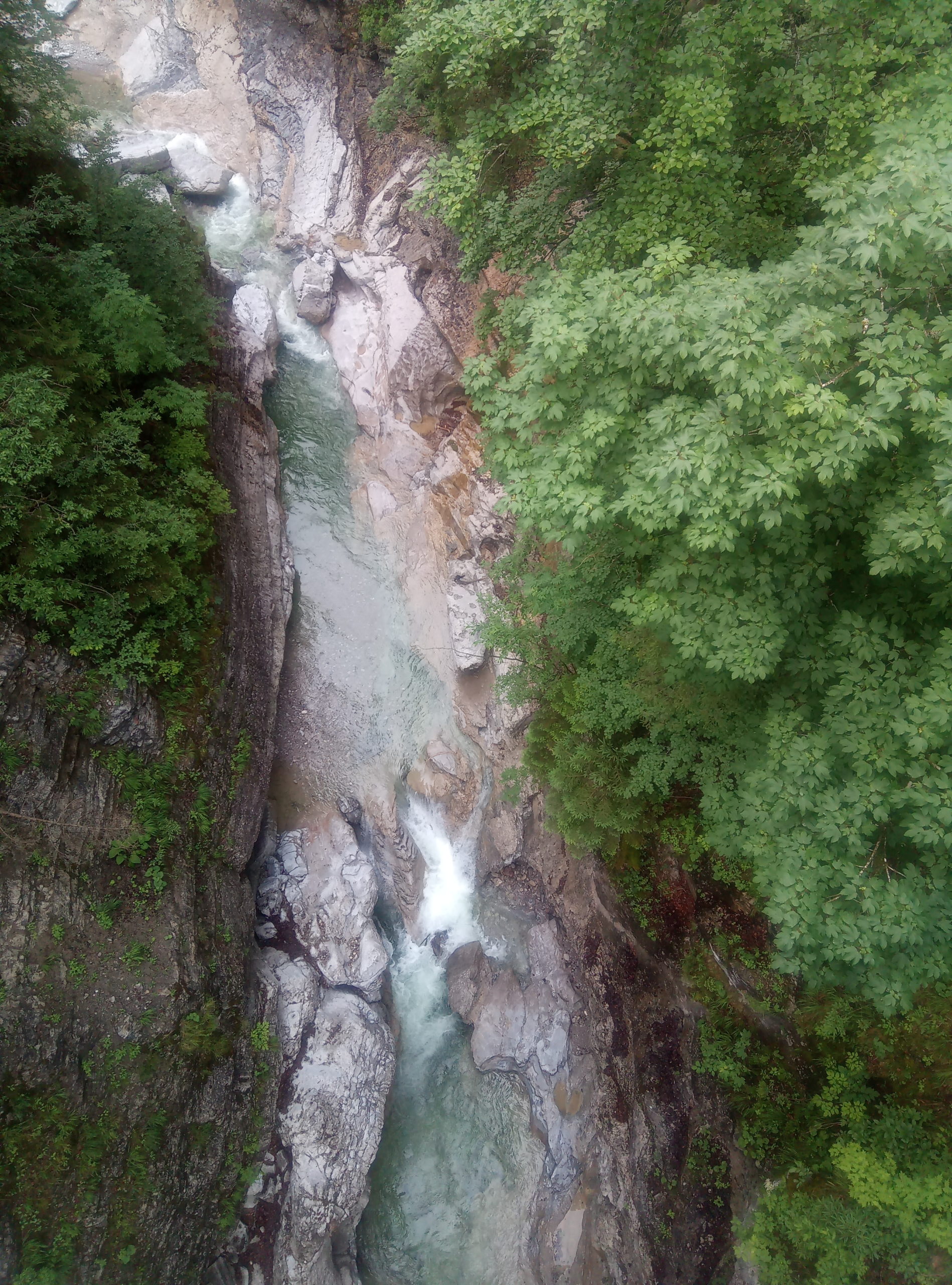
From the Fall car park (recycling collection point), take Dürrachstrasse toward Aquila. After approximately 30 minutes, there is a viewing platform on the right, immediately after which the trail goes down to the right to the bridge over the Dürrachklamm gorge.
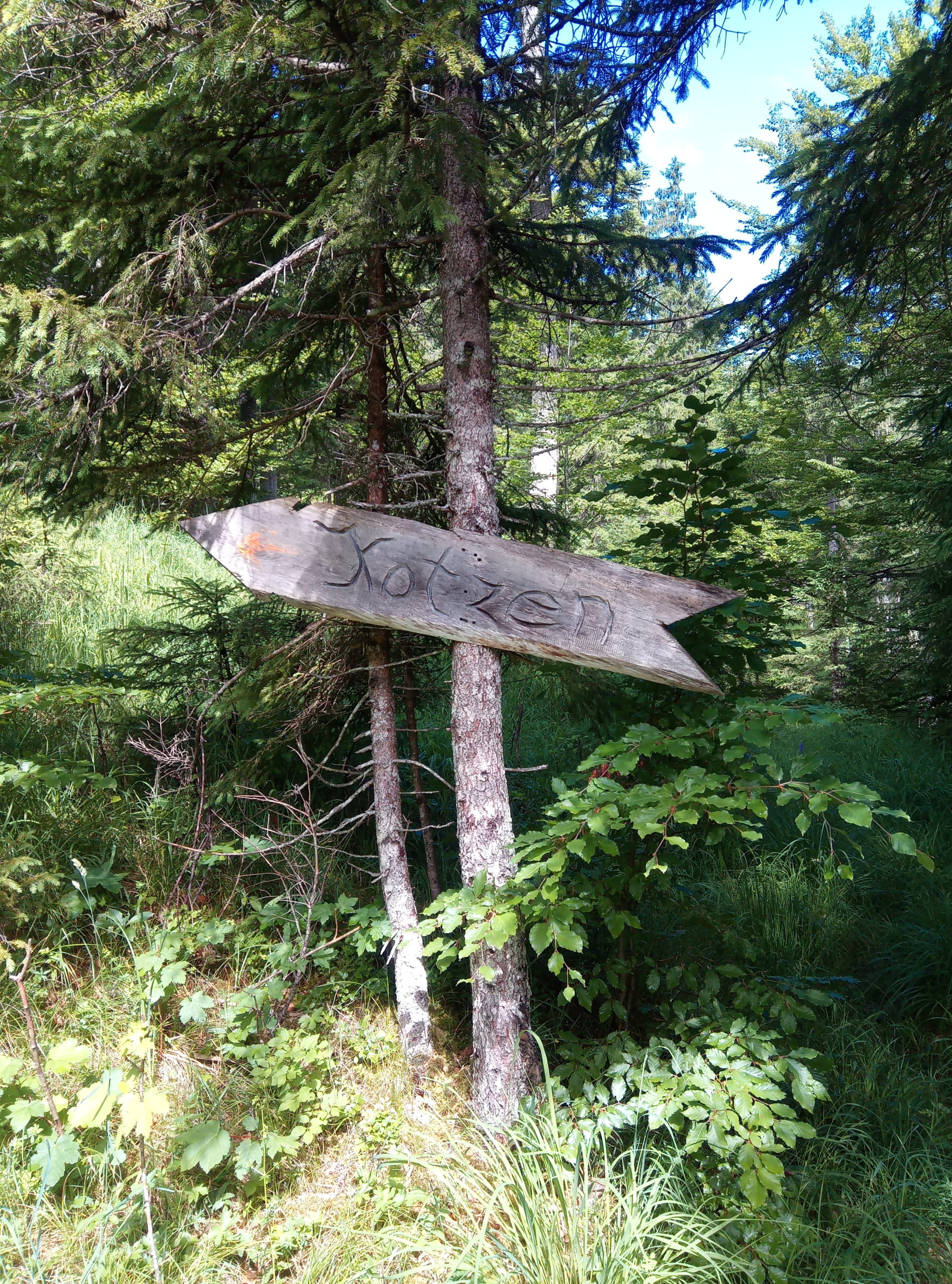
Then steadily, in the hairpin, bends along an unmarked but visible path to the Kotzenalm. After that, it becomes tricky for the inexperienced, as the course is not always clearly recognizable.
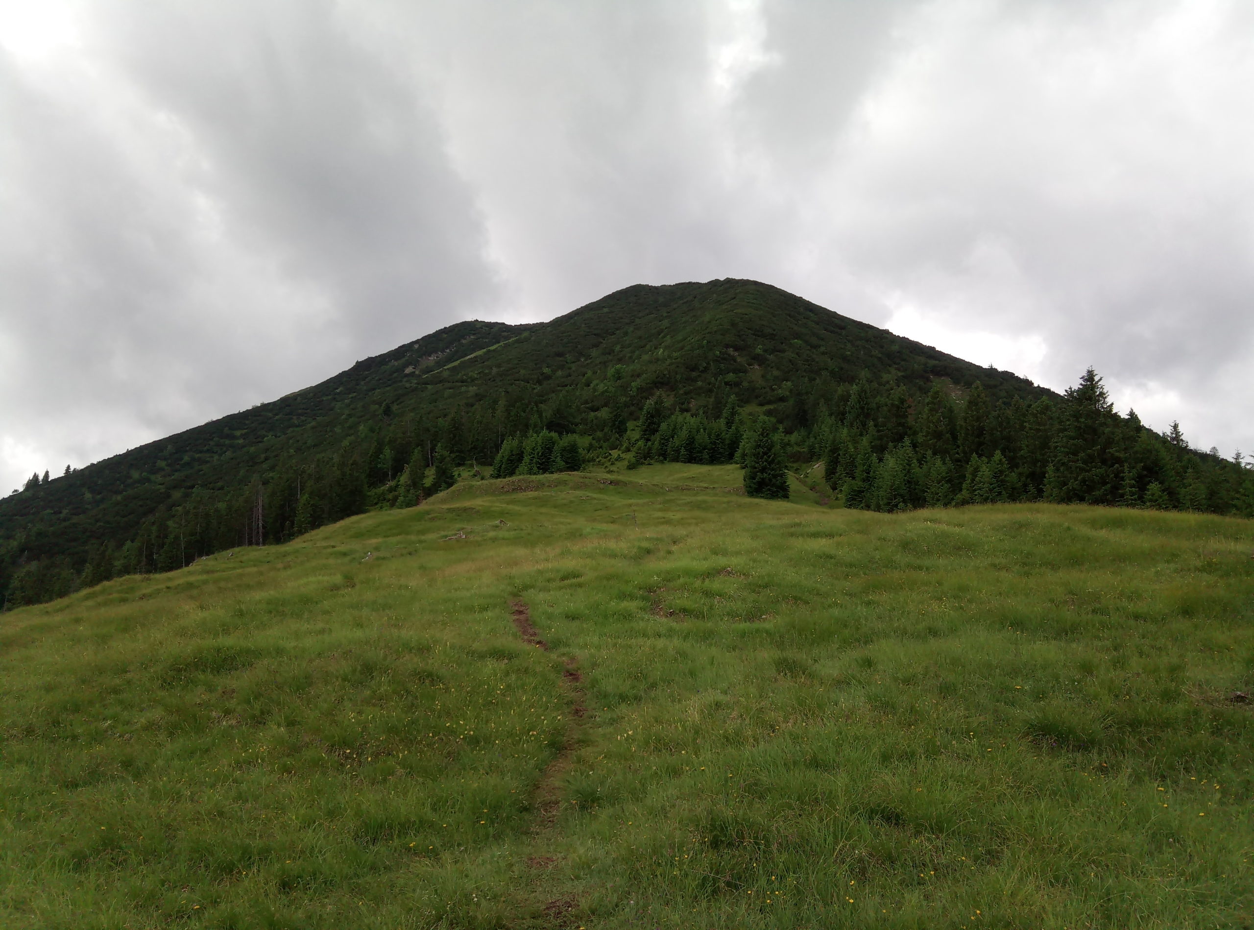
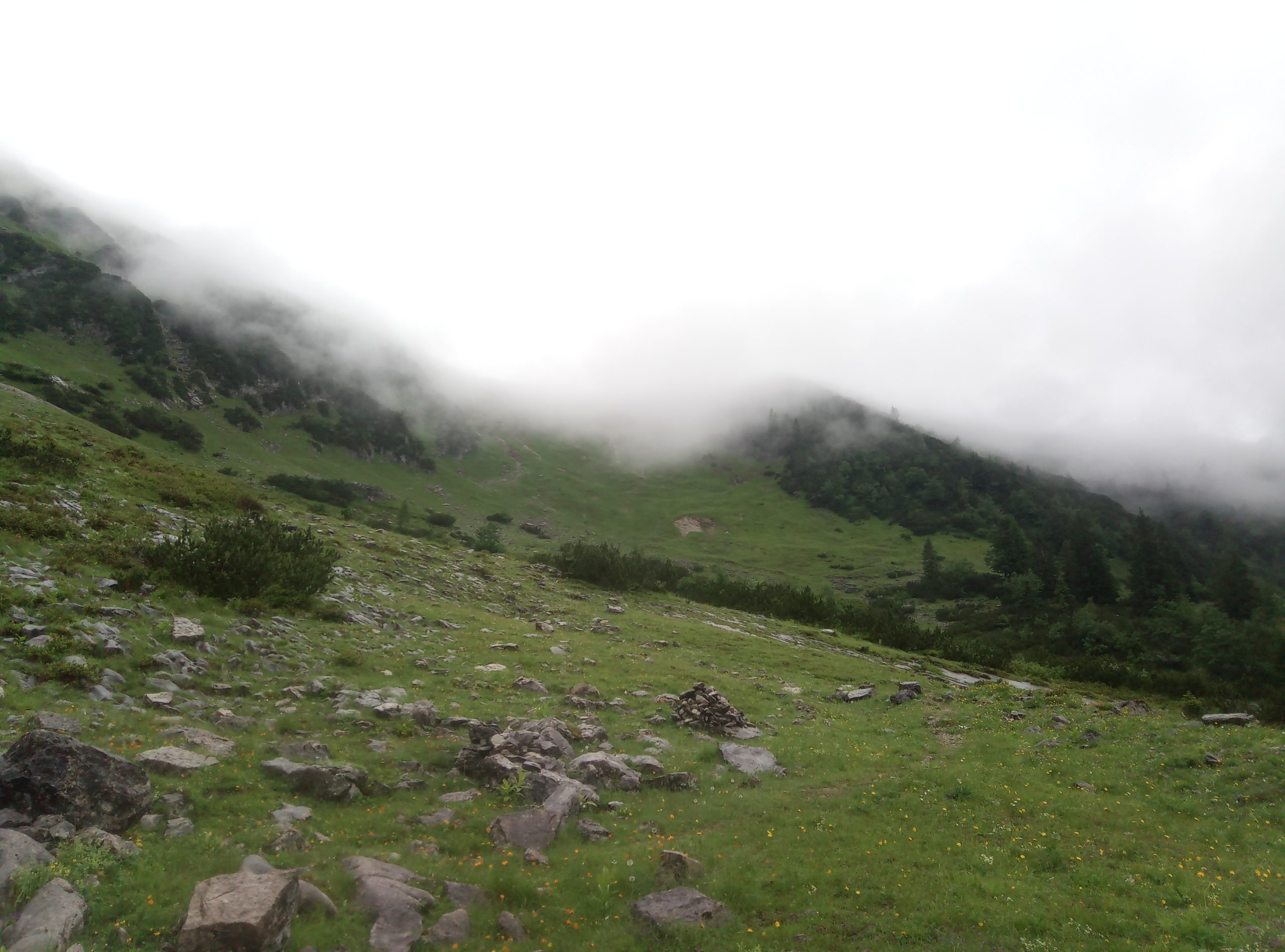
At the latest, when it disappears in a crack, the crossing of which would firstly not lead to the summit and secondly is impossible, you have to cross a steep grassy slope without a path to the summit ridge, on this southwards through mountain pines without a route to the summit.
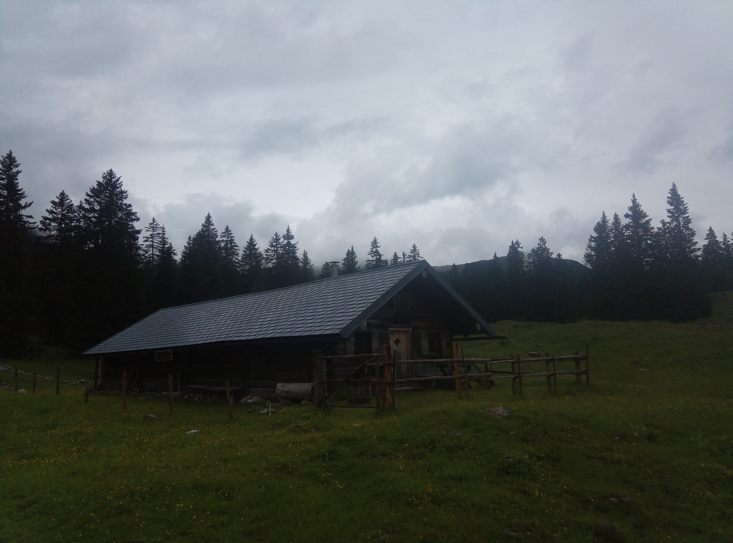
After a short break for a drink, continue to the saddle that connects the Kotzen with the Stierjoch, but this is still covered in snow well into May. Therefore down to the Ludernalm (finding the way is often tricky – rarely used), up to the right at a fountain, and on a largely visible path to the Lerchkogel Hochleger.
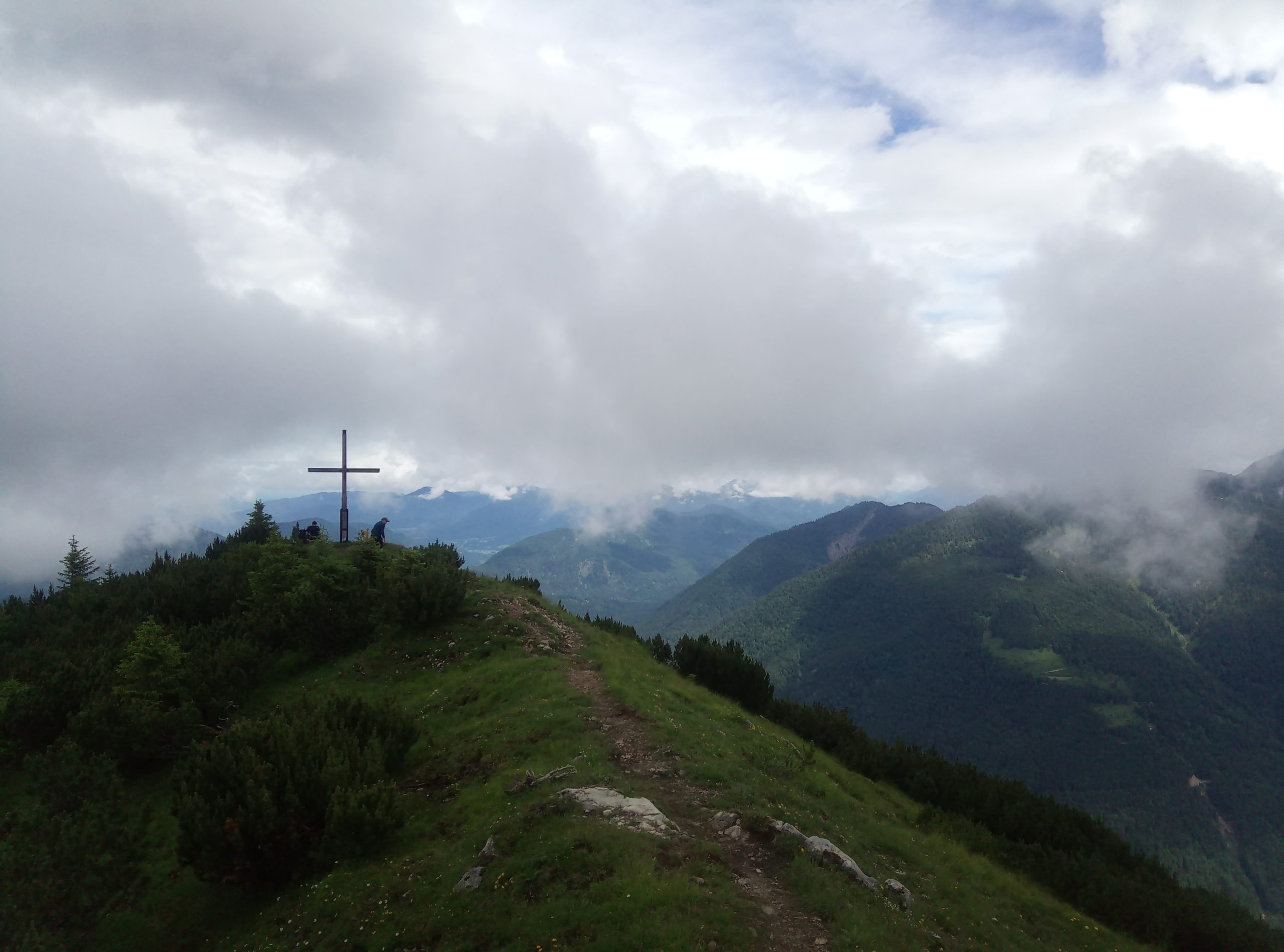
Now another 20 minutes to the Lerchkogel, from which you have quite a good view of the Karwendel for its low altitude.
Train to Lenggries (BOB) and continue with the RVO bus to Fall.
Fall via Lenggries. Parking spaces in Fall, at the beginning of Dürrachstraße (partly subject to charges).