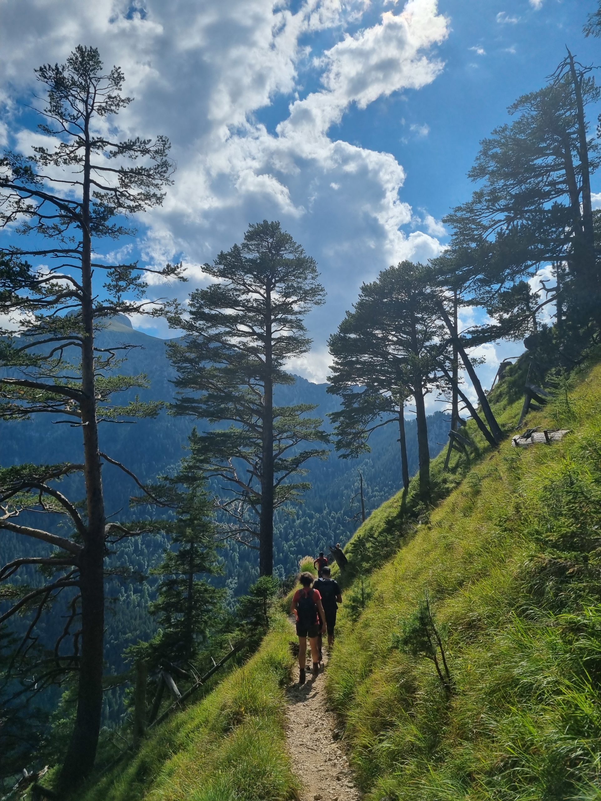
Mountain tour via the Gelbe-Wand-Steig trail to the Branderschrofen.
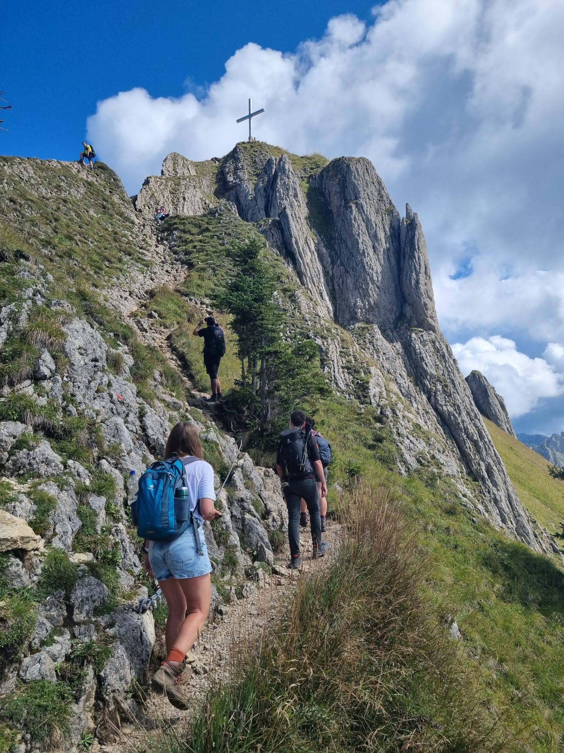
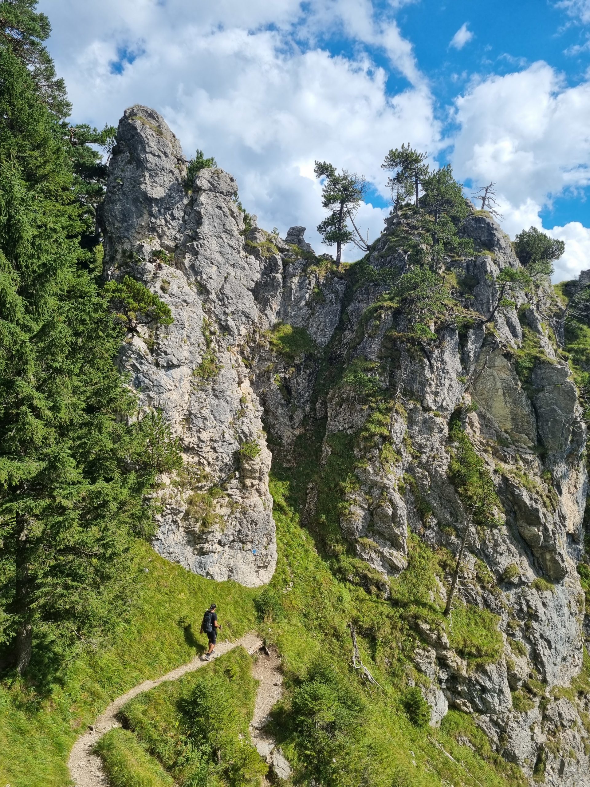
The path and a short section of the path in the summit area are secured with a wire rope, so you need to be sure-footed and free from vertigo.
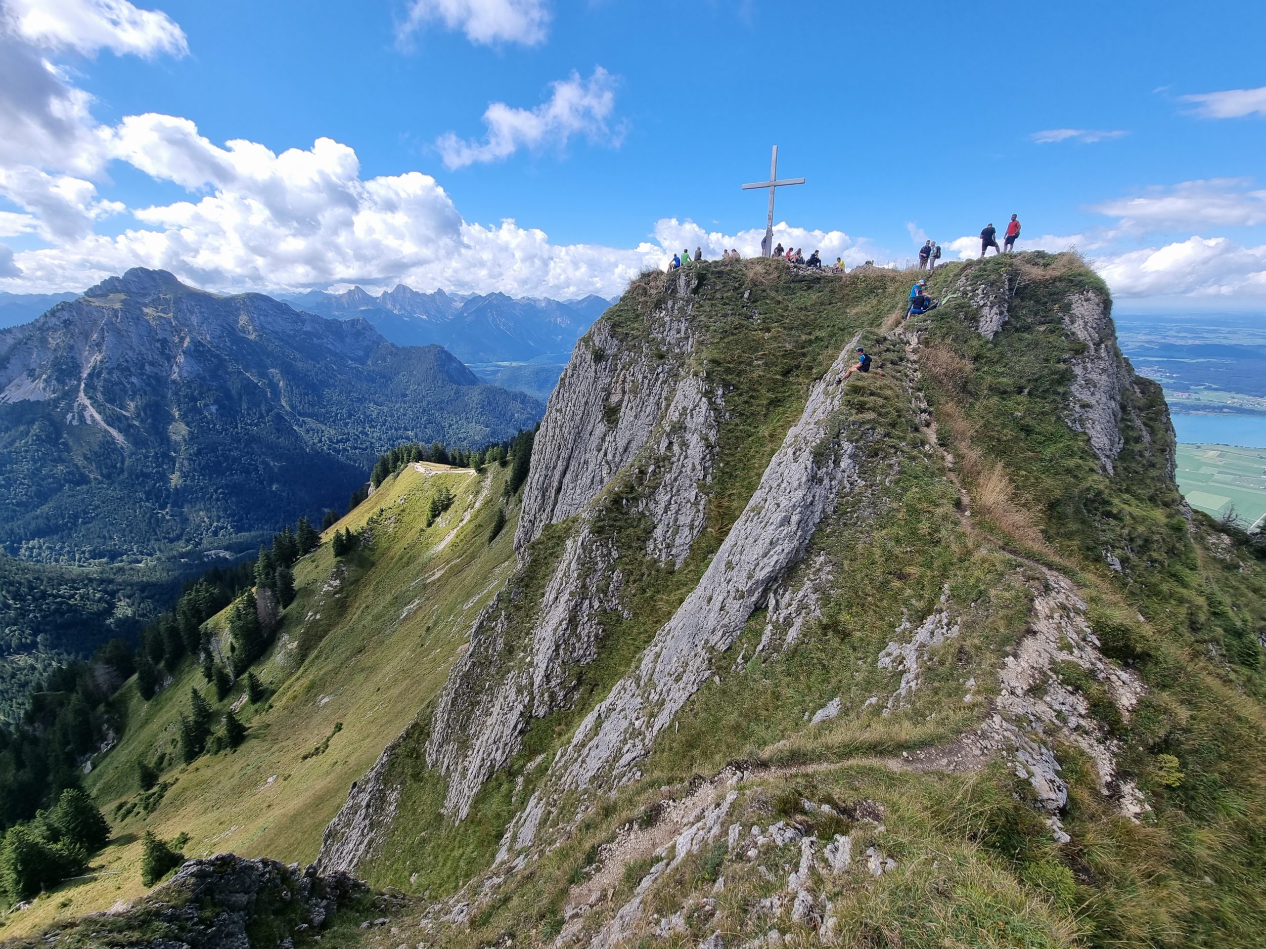
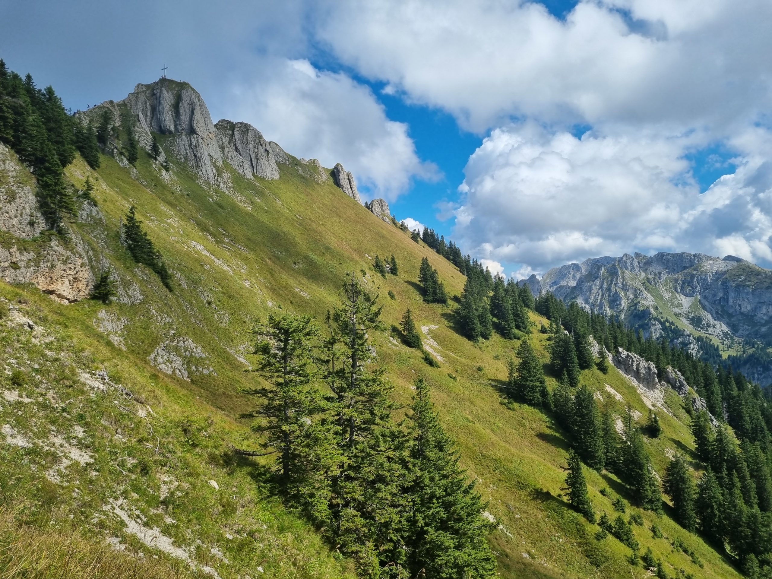
The tour goes along a secured path between Torkopf (1525 m) and Gelber Wandschrofen (1562 m) to below the Tegelberghaus. From there, continue to the Branderschrofen.
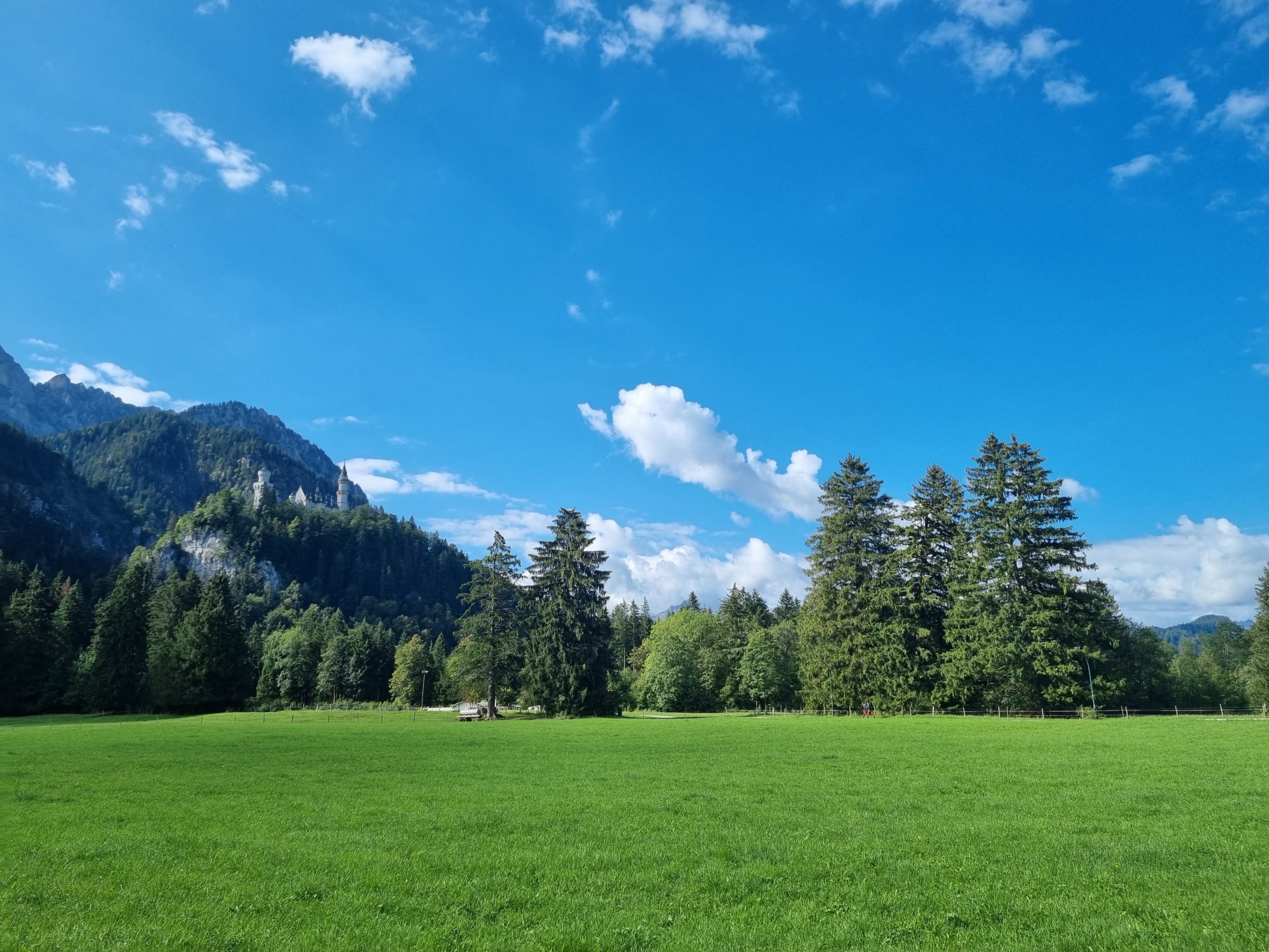
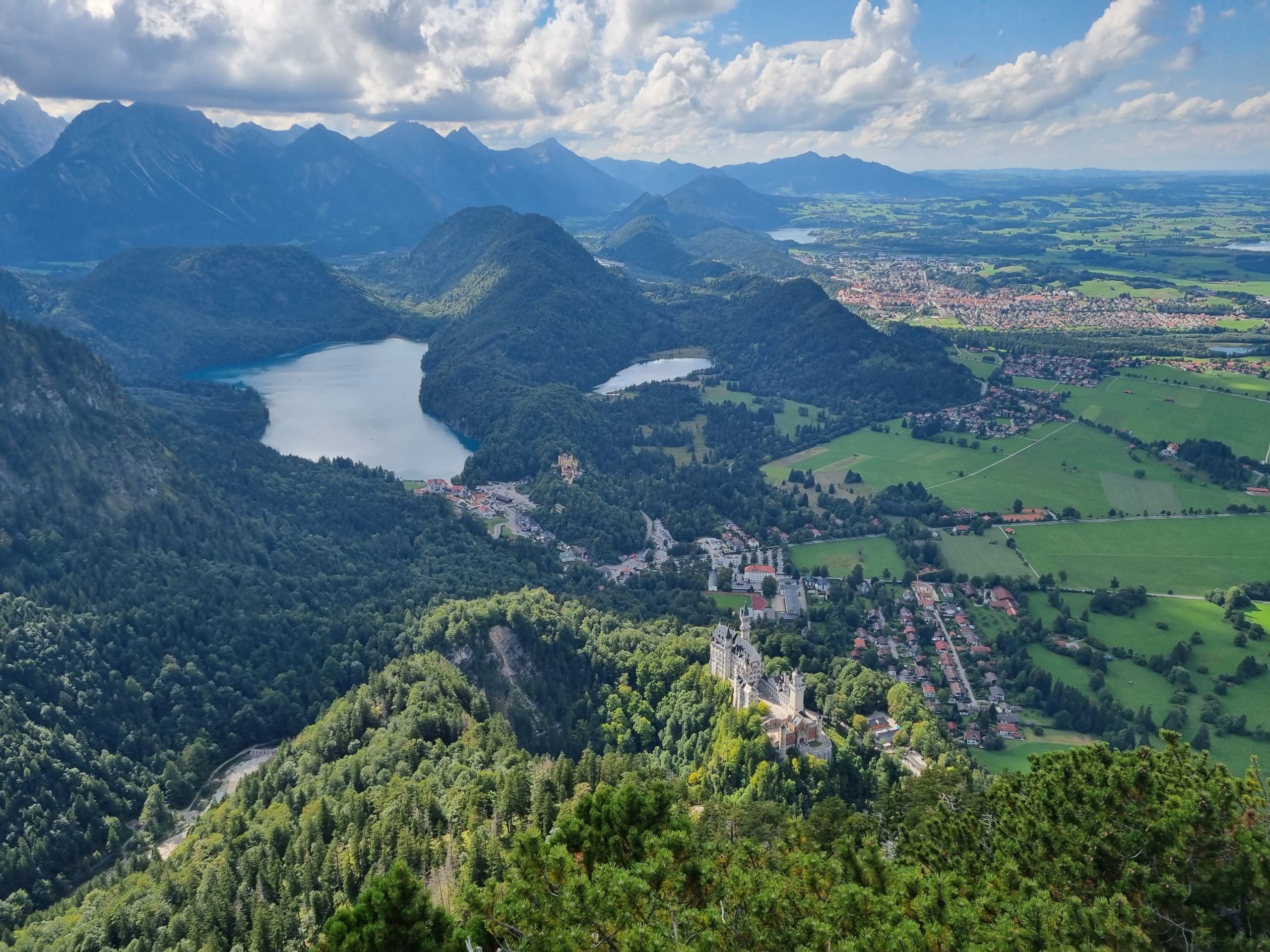
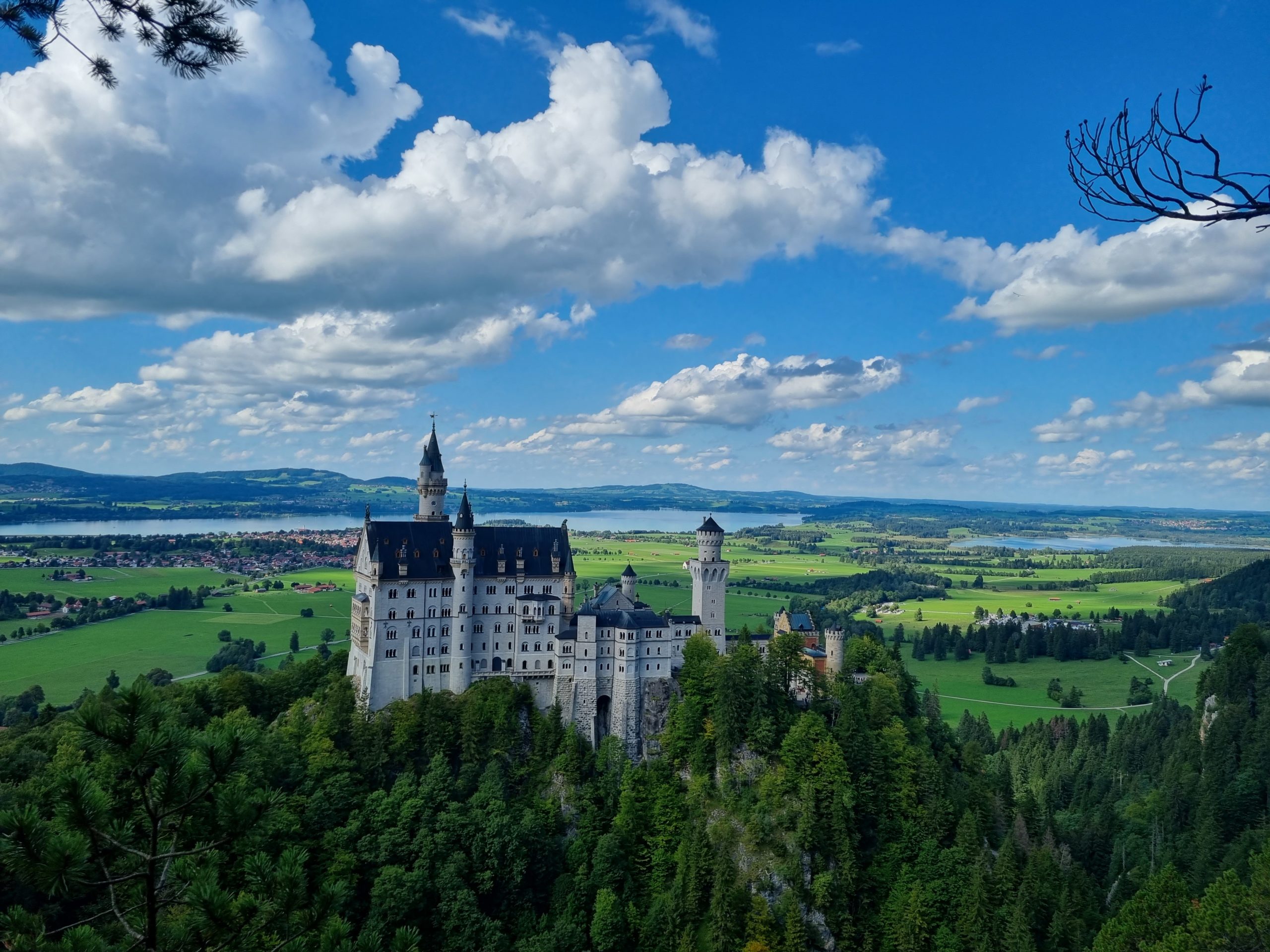
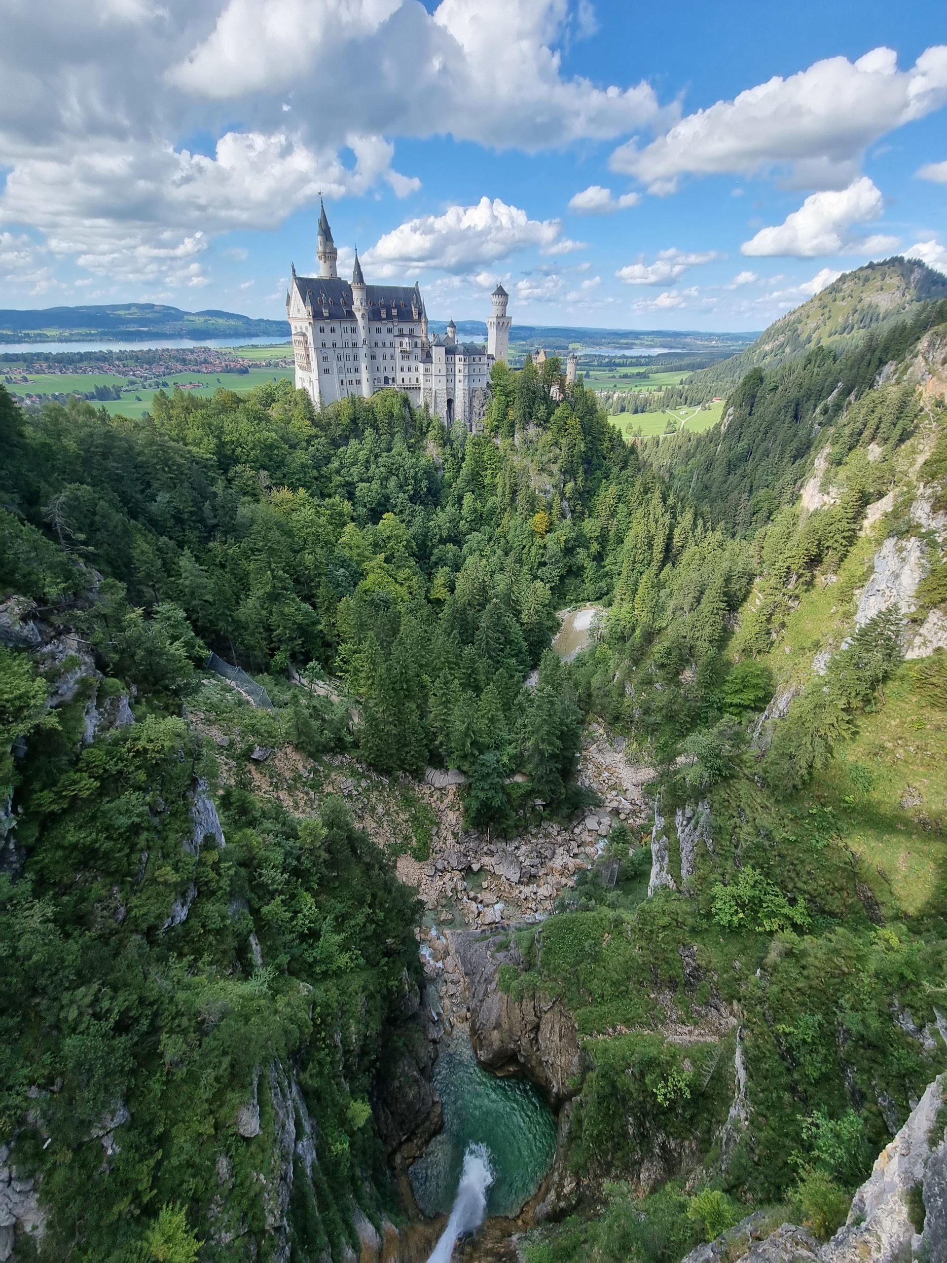
The Tegelberghaus can also be reached with the Tegelberg cable car. On the descent, we walk over the Tegelberg Bridge and across the Marien Bridge to the fairytale castle of Neuschwanstein.
Via the Rohrkopf hut on an easy trail to the Tegelberghaus (1707 m); from there a little more airy and secured with wire ropes to the summit. Descent to the Tegelberghaus and back on the easy mountain trail via the Marienbrücke. Alternative ascent for experienced hikers is the Gelbe-Wand-Steig.
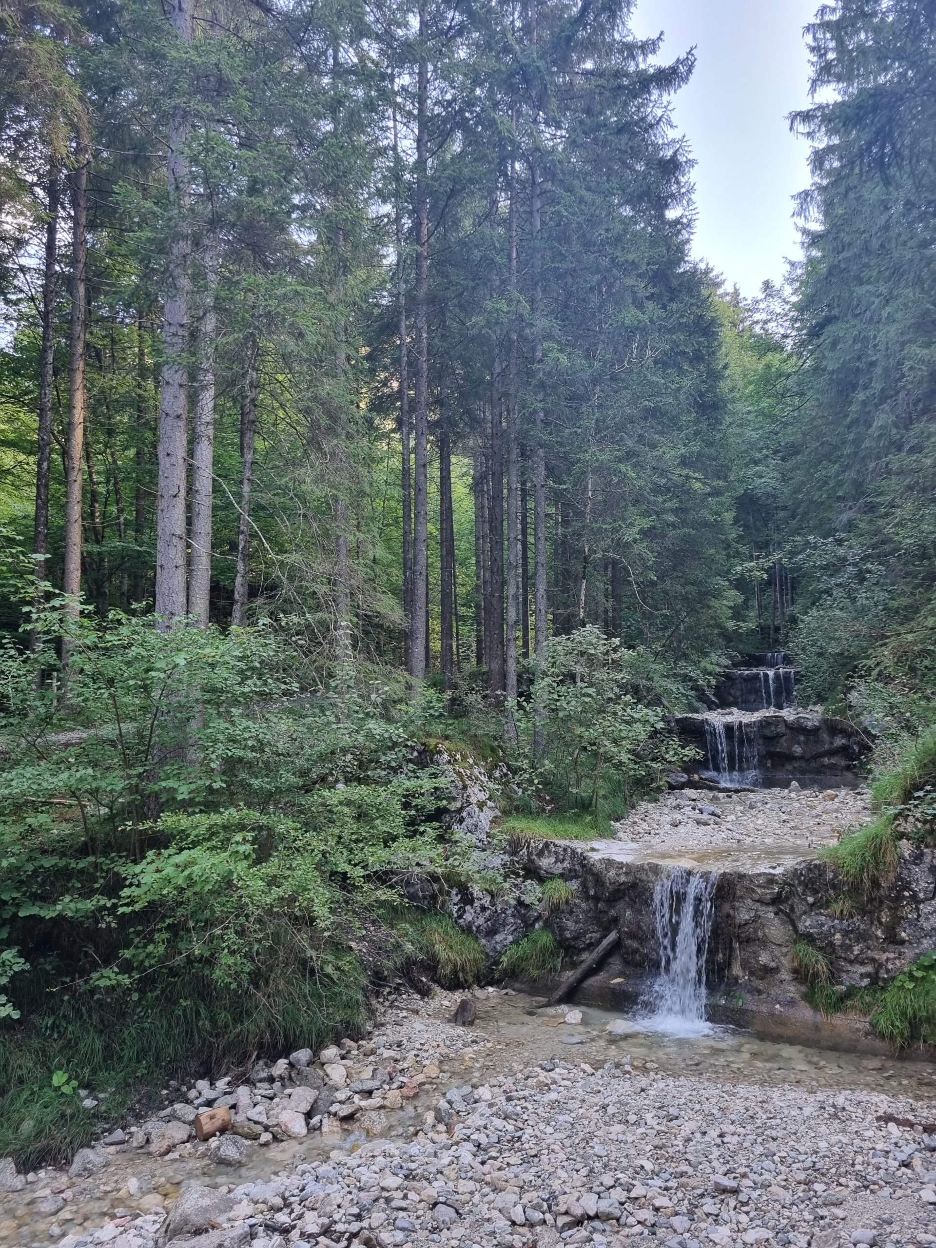
A rewarding round tour results if you take the easy mountain path from the Tegelberghaus to the Marienbrücke. On the way, we enjoy the view of Neuschwanstein, descend steeply behind the Marienbrücke into the Pöllatschlucht gorge and walk back to the Tegelbergbahn car park.
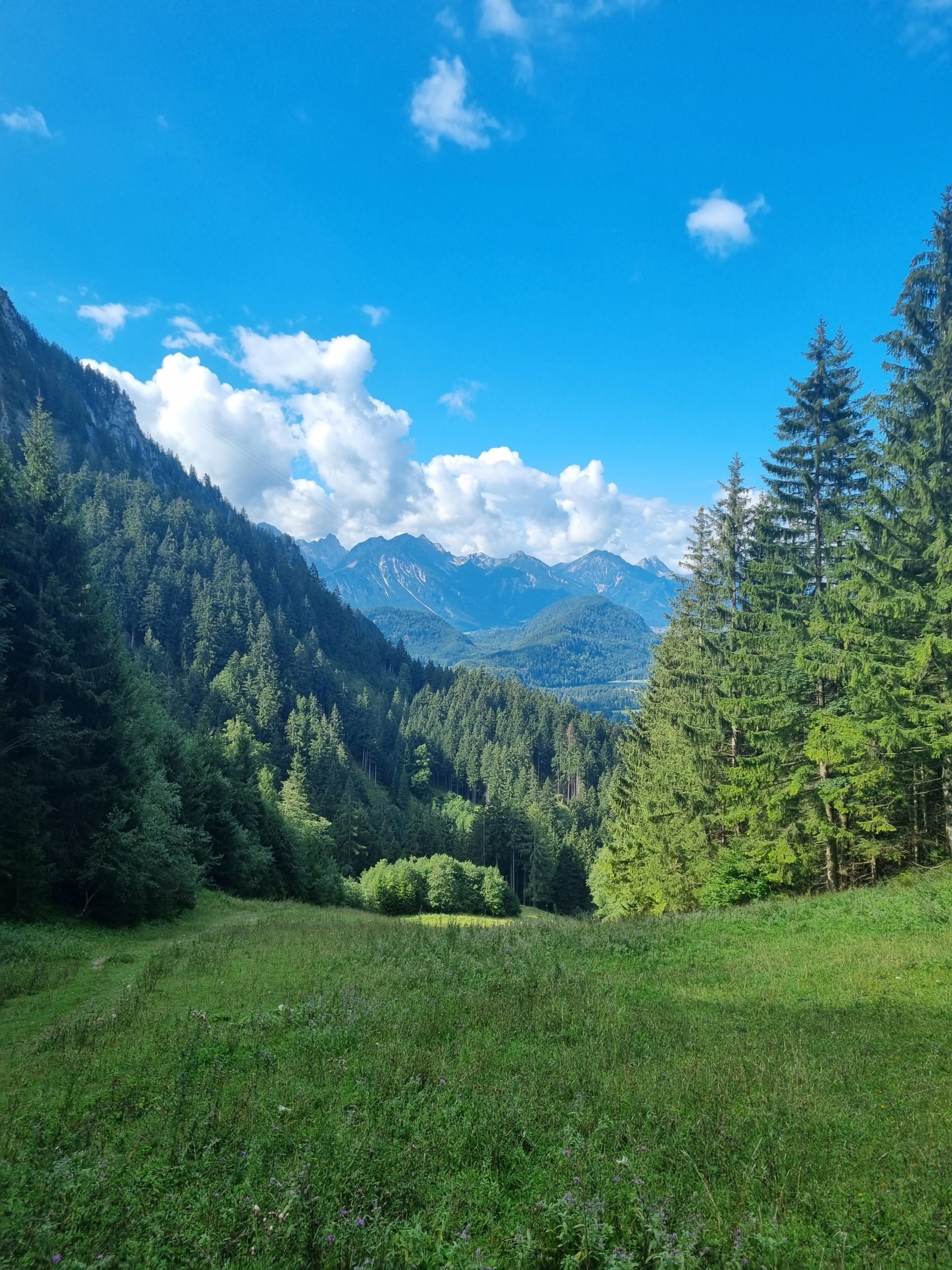
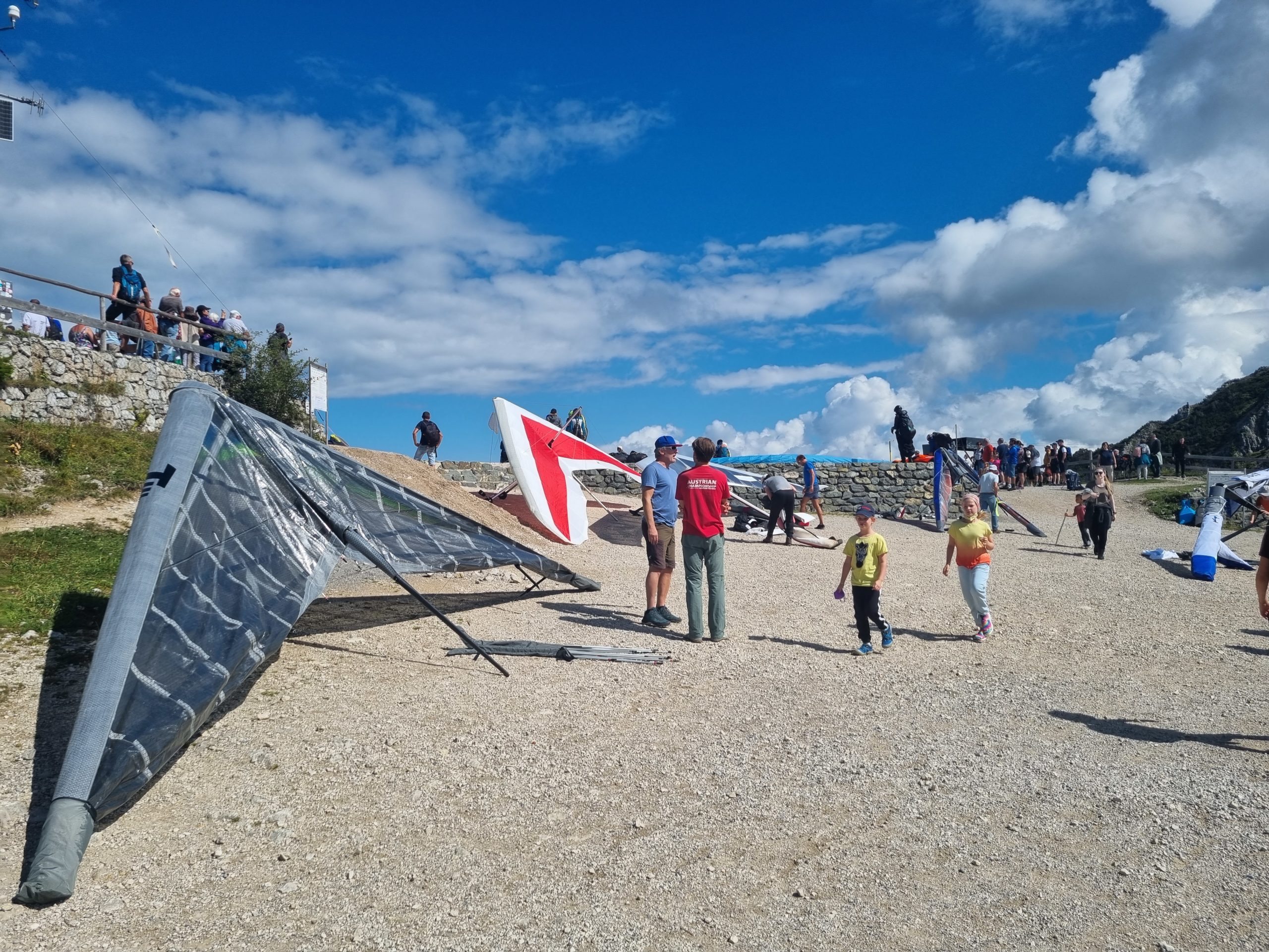
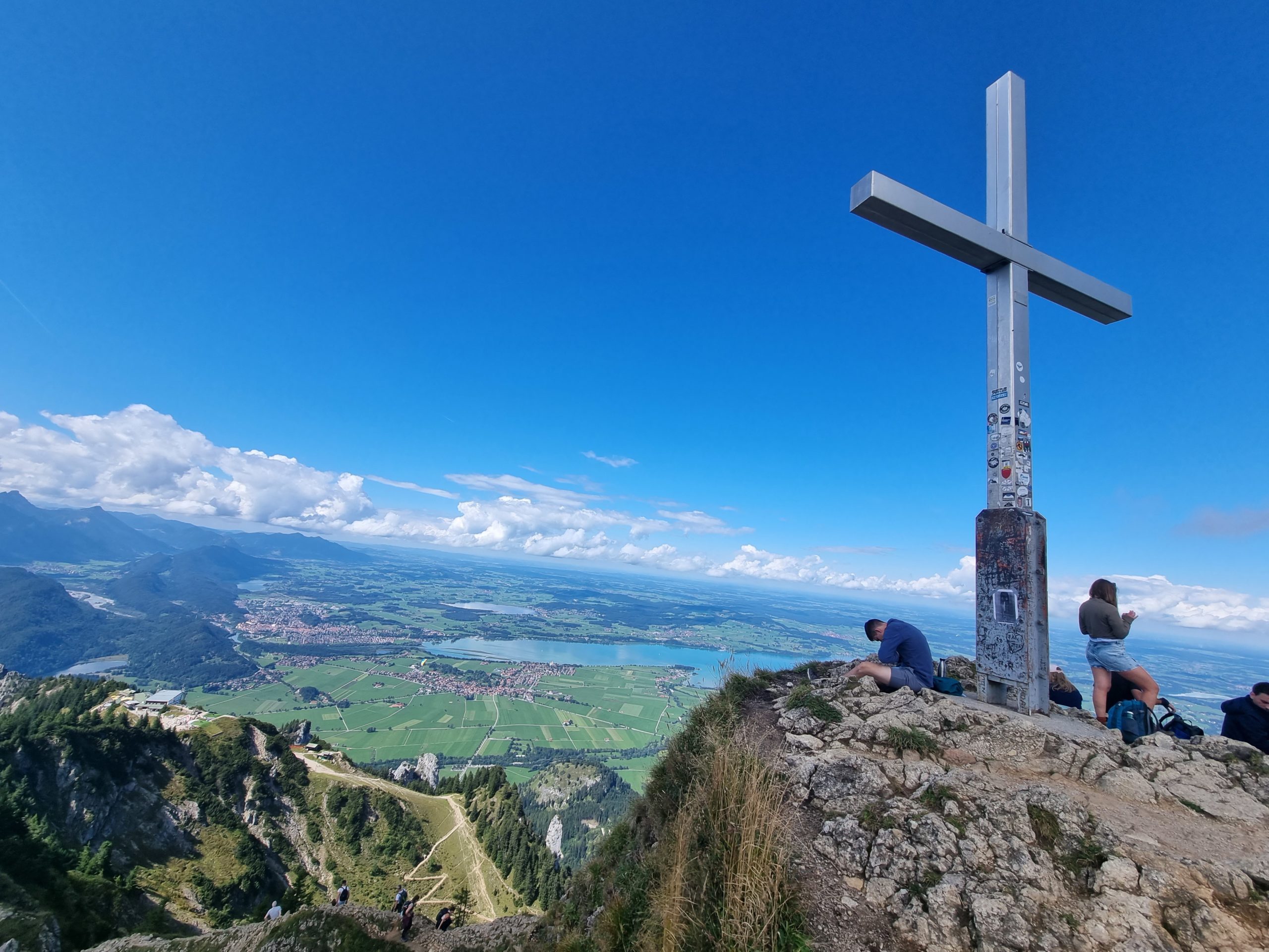
Summit: There is not too much space in the summit area; the flanks of the mountain are very steep, so that on busy days there is a dense crowd. The Tegelberg is an excellent viewing mountain. To the west and north, the foothills of the Alps spread out with their picturesque villages, hills and lakes. To the south, the view reaches as far as the distant Ötztal Alps.
Train station near start point: Füssen (3.7 Km from start point). From Füssen you can reach Neuschwanstein by bus (bus stop “Hohenschwangau Neuschwanstein Castles, Schwangau” – 60 m from start point).
Via the A7 motorway (Ulm – Kempten – Füssen) to the end of the motorway. From Füssen, take the B17 towards Schwangau; after the end of the town, turn right towards Hohenschwangau.
or
via the A7 motorway – Kempten exit – onto the B12 main road to Marktoberdorf. Via the B16 to Roßhaupten – OAL I to Buching – then B17 to Schwangau and Hohenschwangau.
In the village of Hohenschwangau there is only private parking available for a fee.