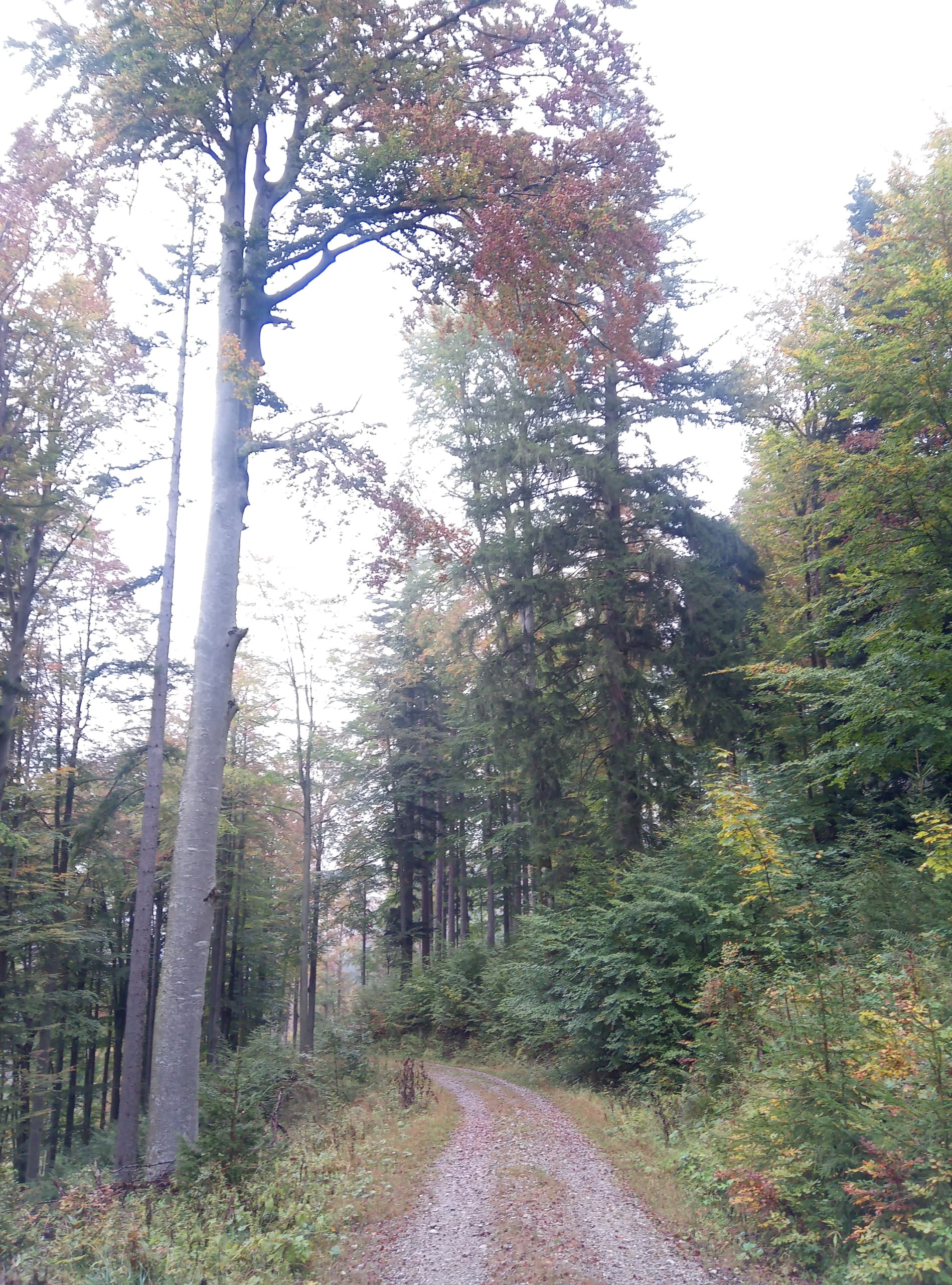
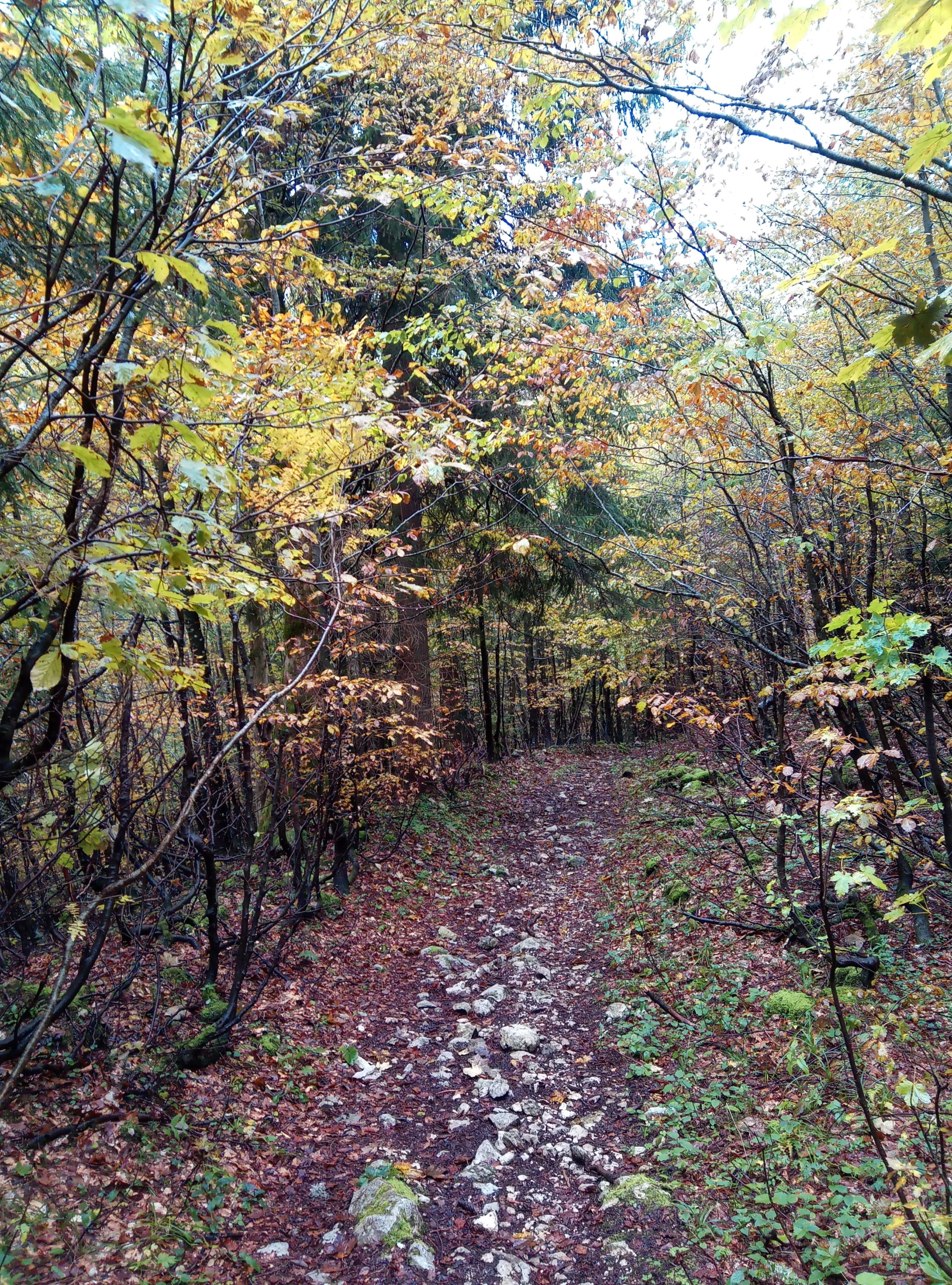
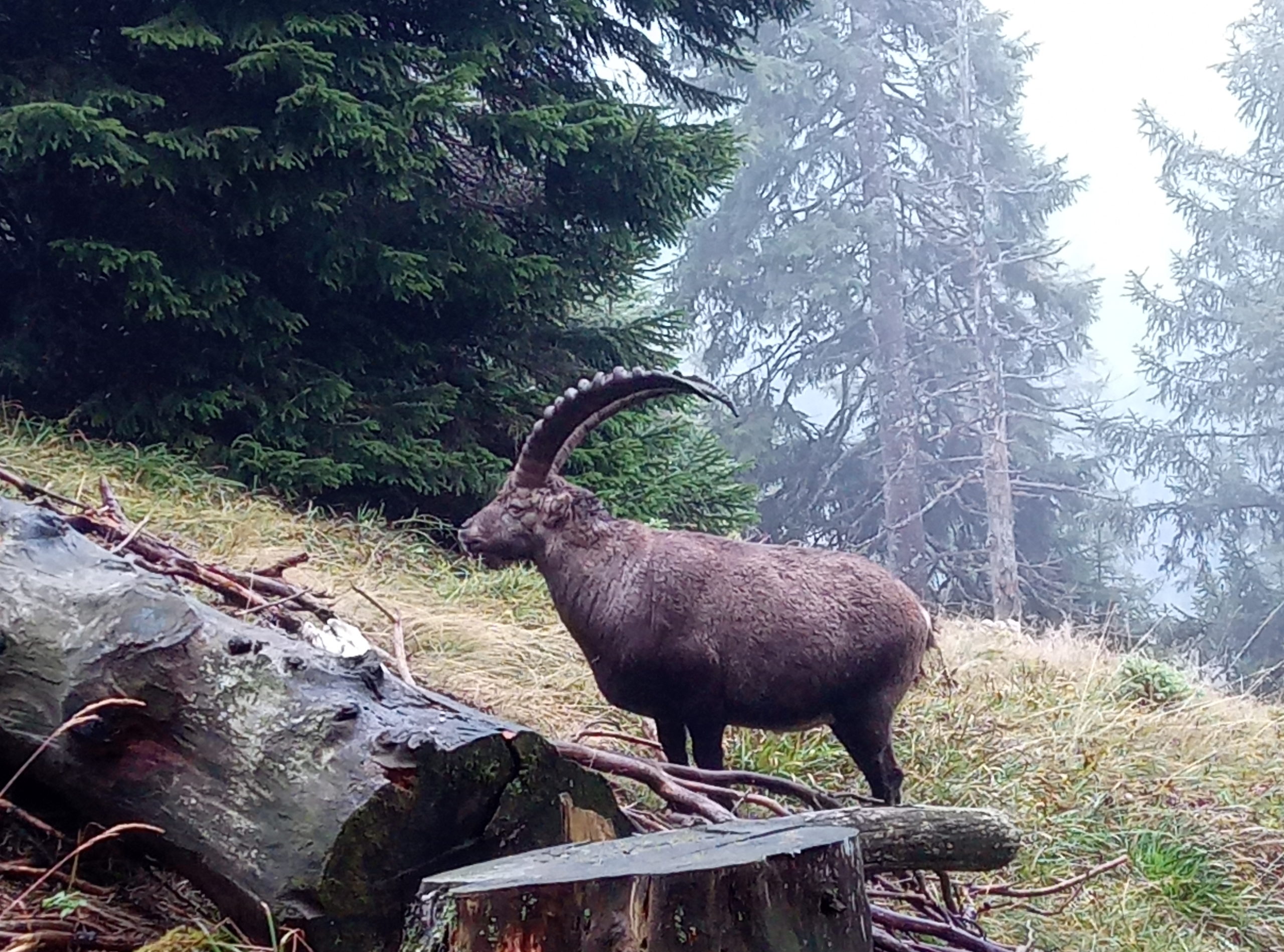
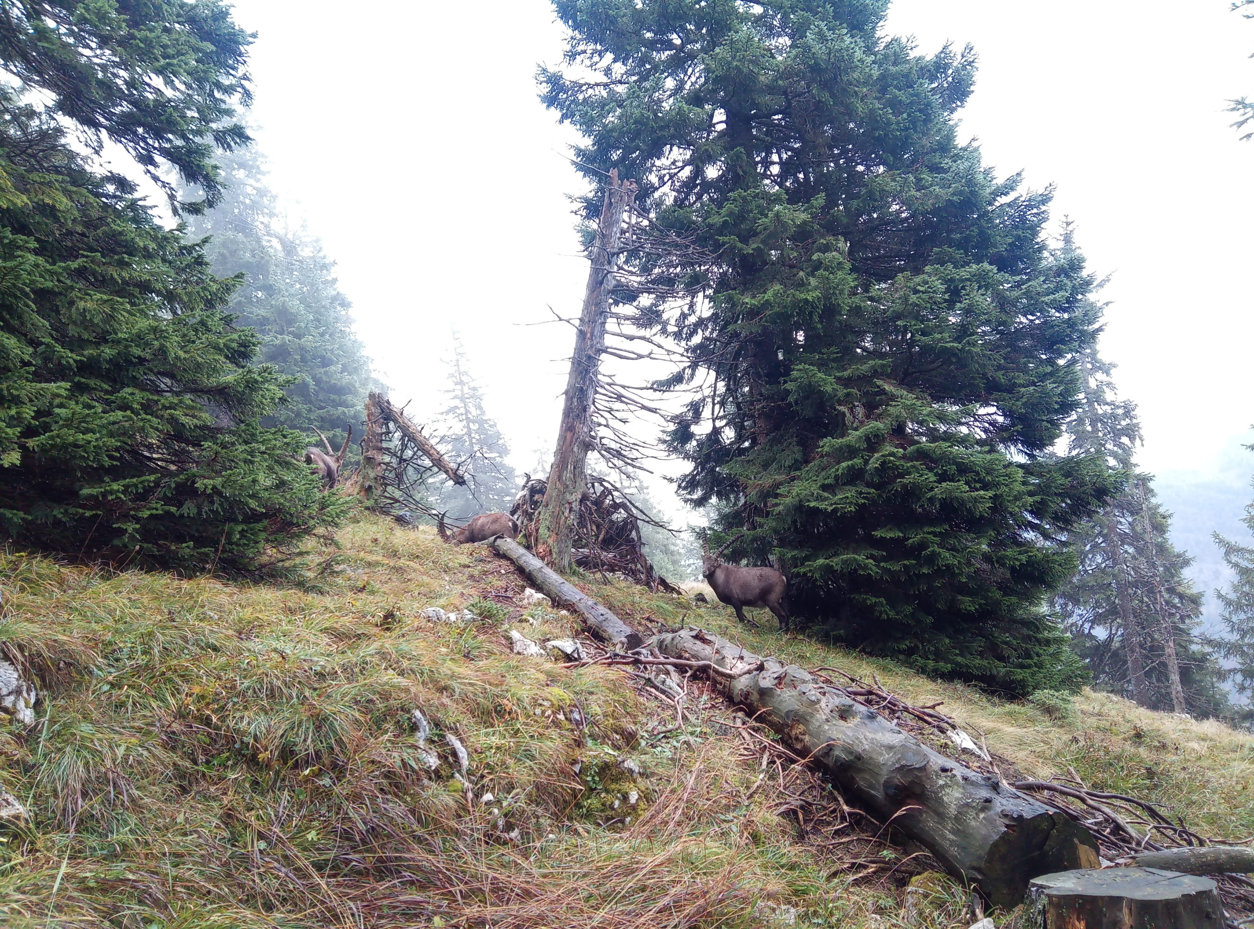
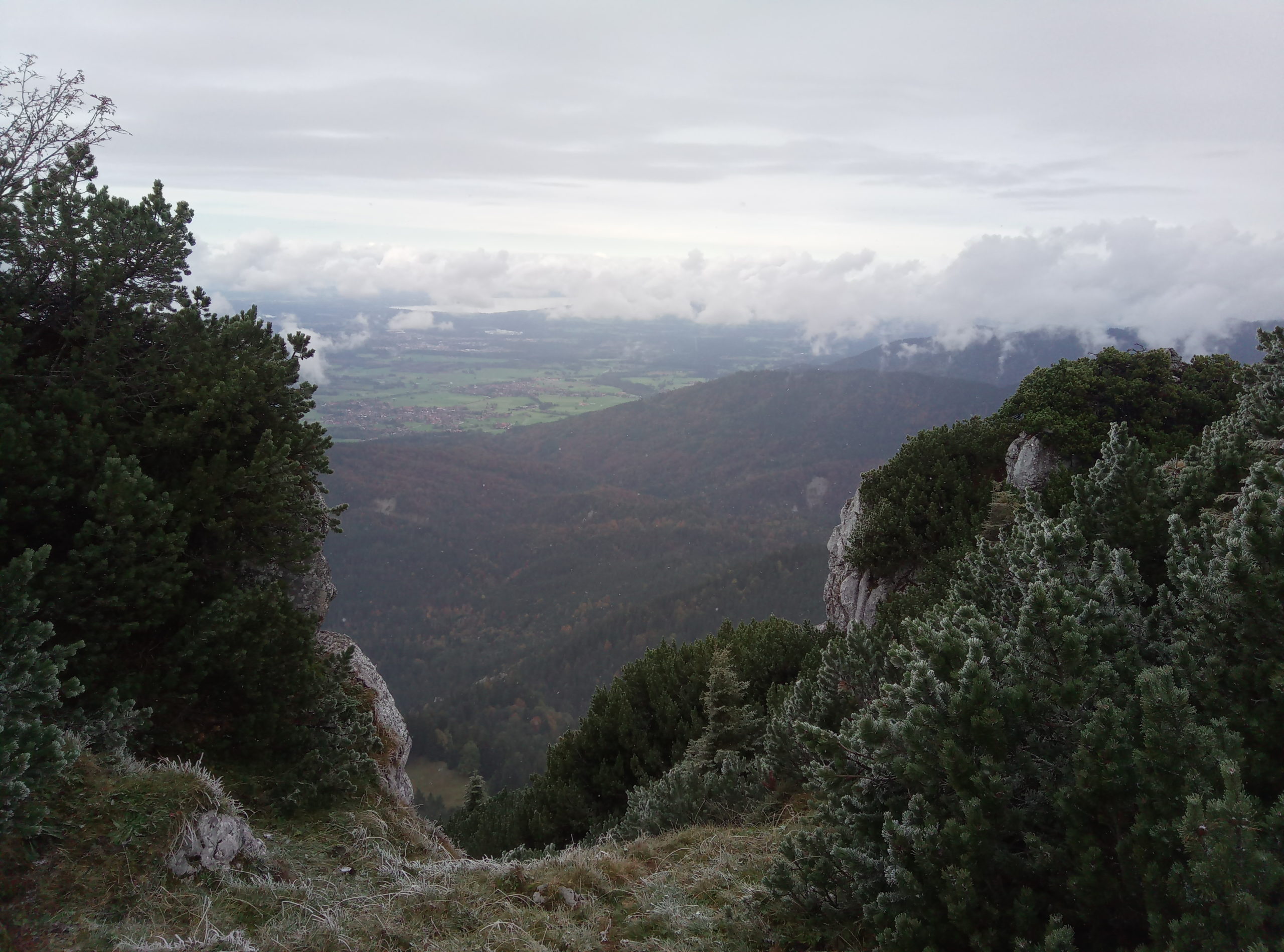
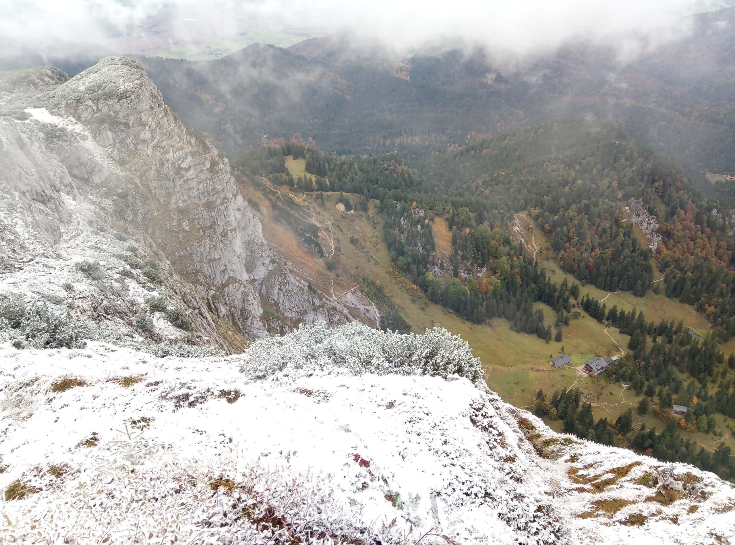
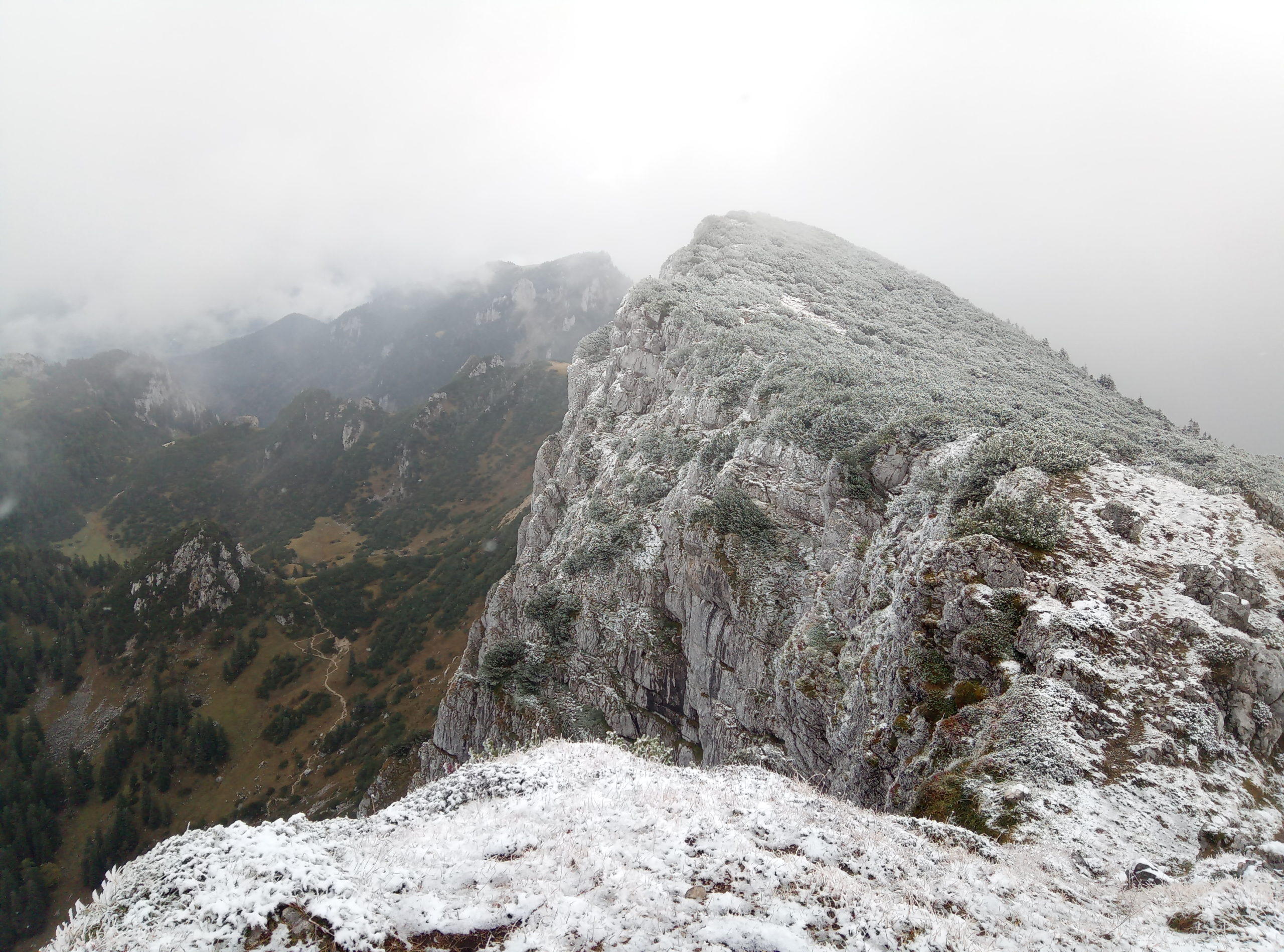
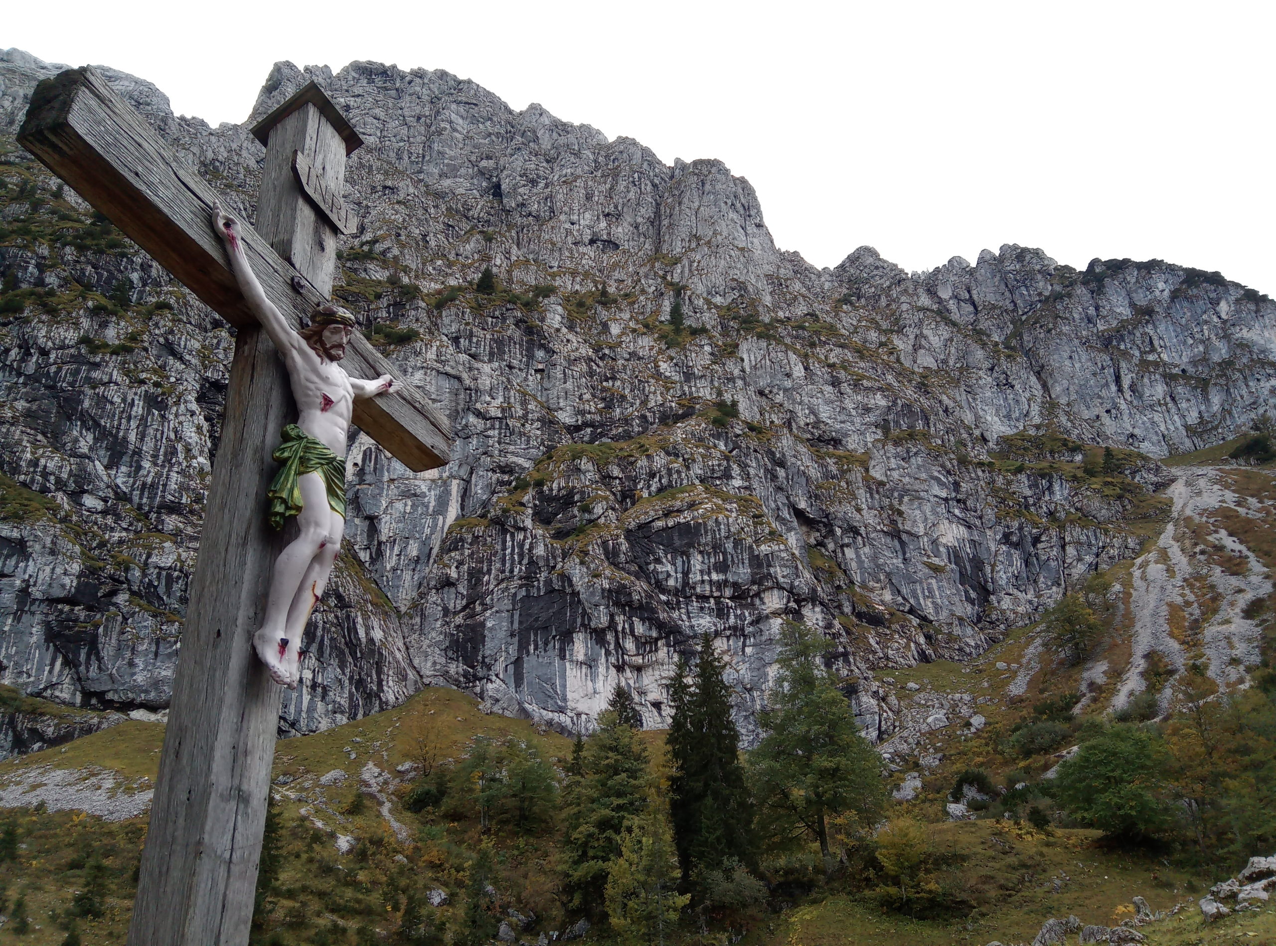
Benediktenwand (1801m) – round tour hike, mostly T1 and T2 with a very short section T3.
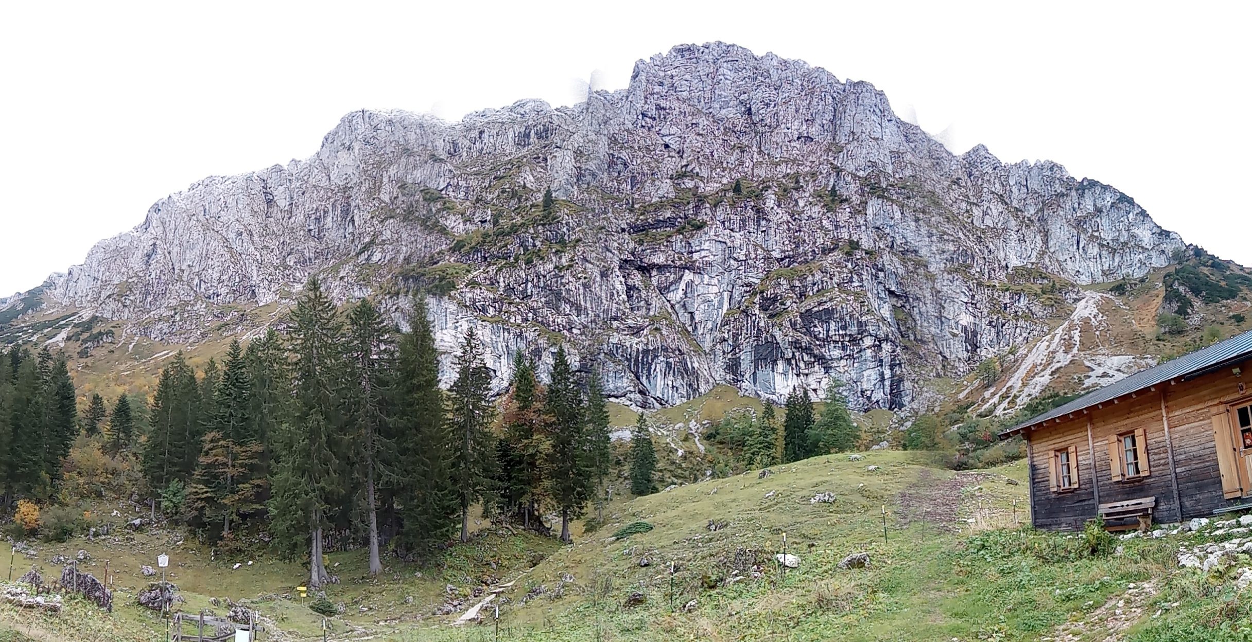
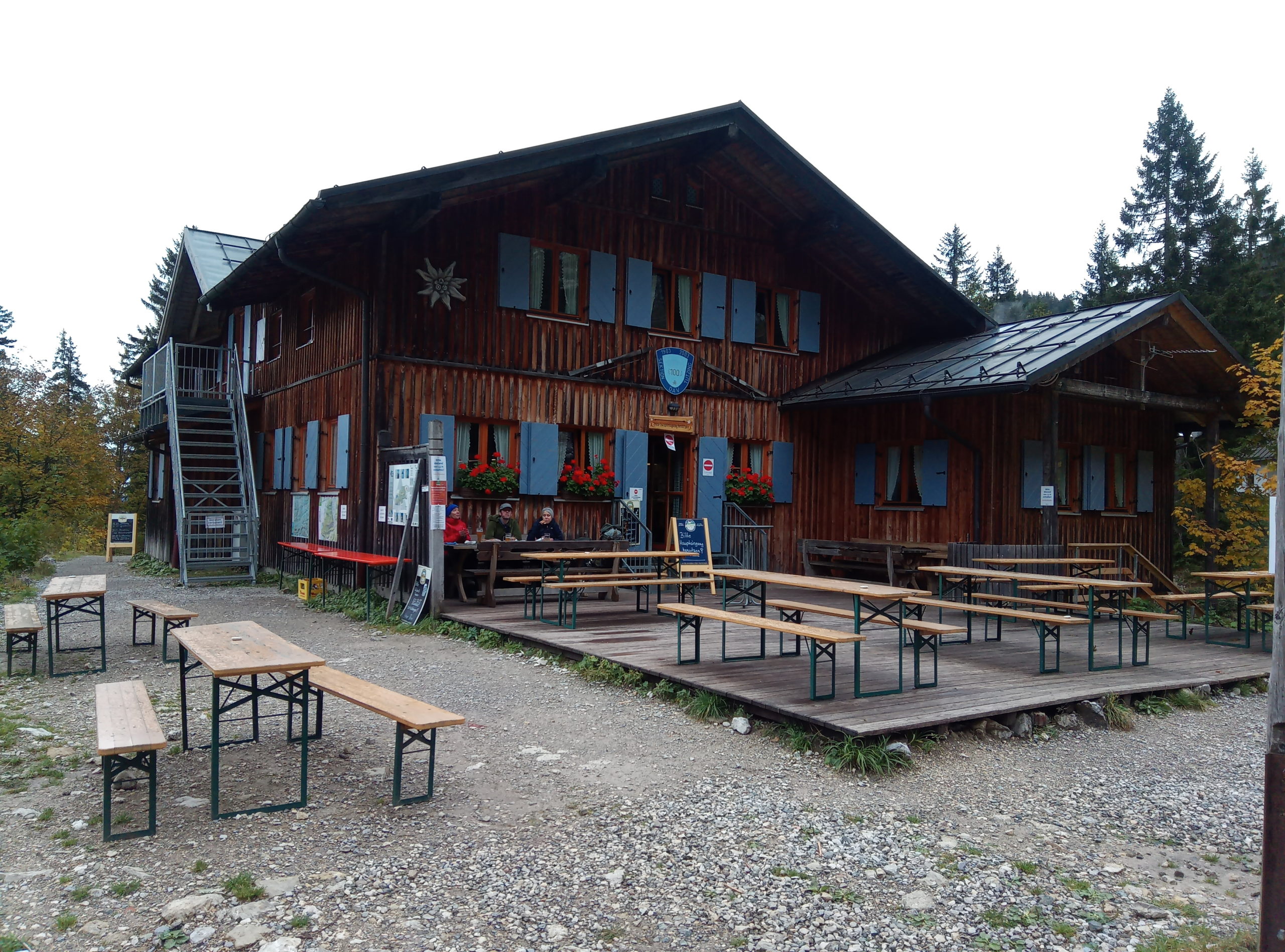
The starting point is Kochel am See, and after hiking through the forest around 4 hours, you reach the peak. An option is to go and make a lunch break at Tützinger-Hütte, one hour back. You just follow the road back for 30 minutes and then you turn right for an other 30. The road is very good marked.
After the hut, in 3-4 hours you can make your descent to the starting point – Kochel translation.
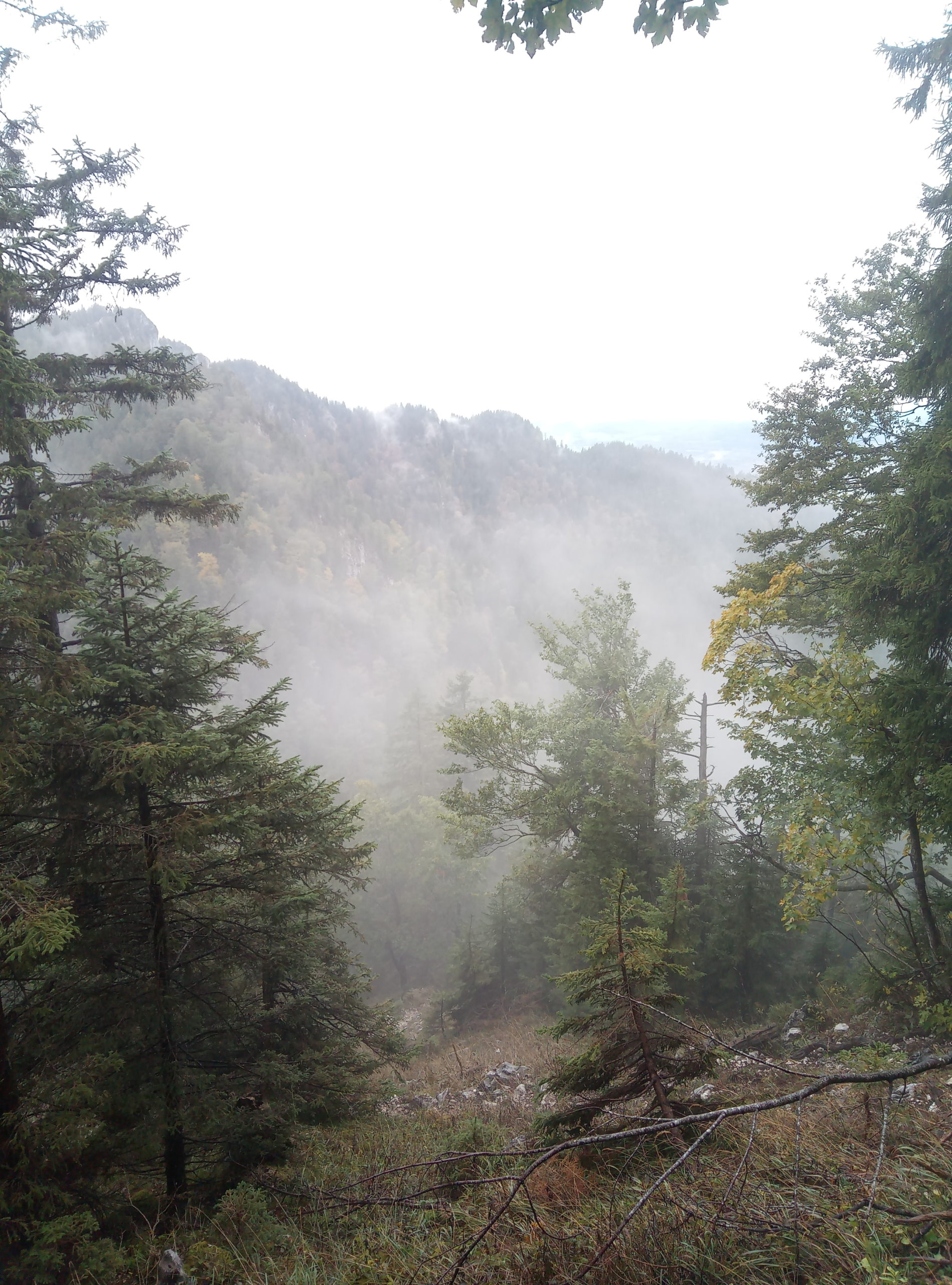
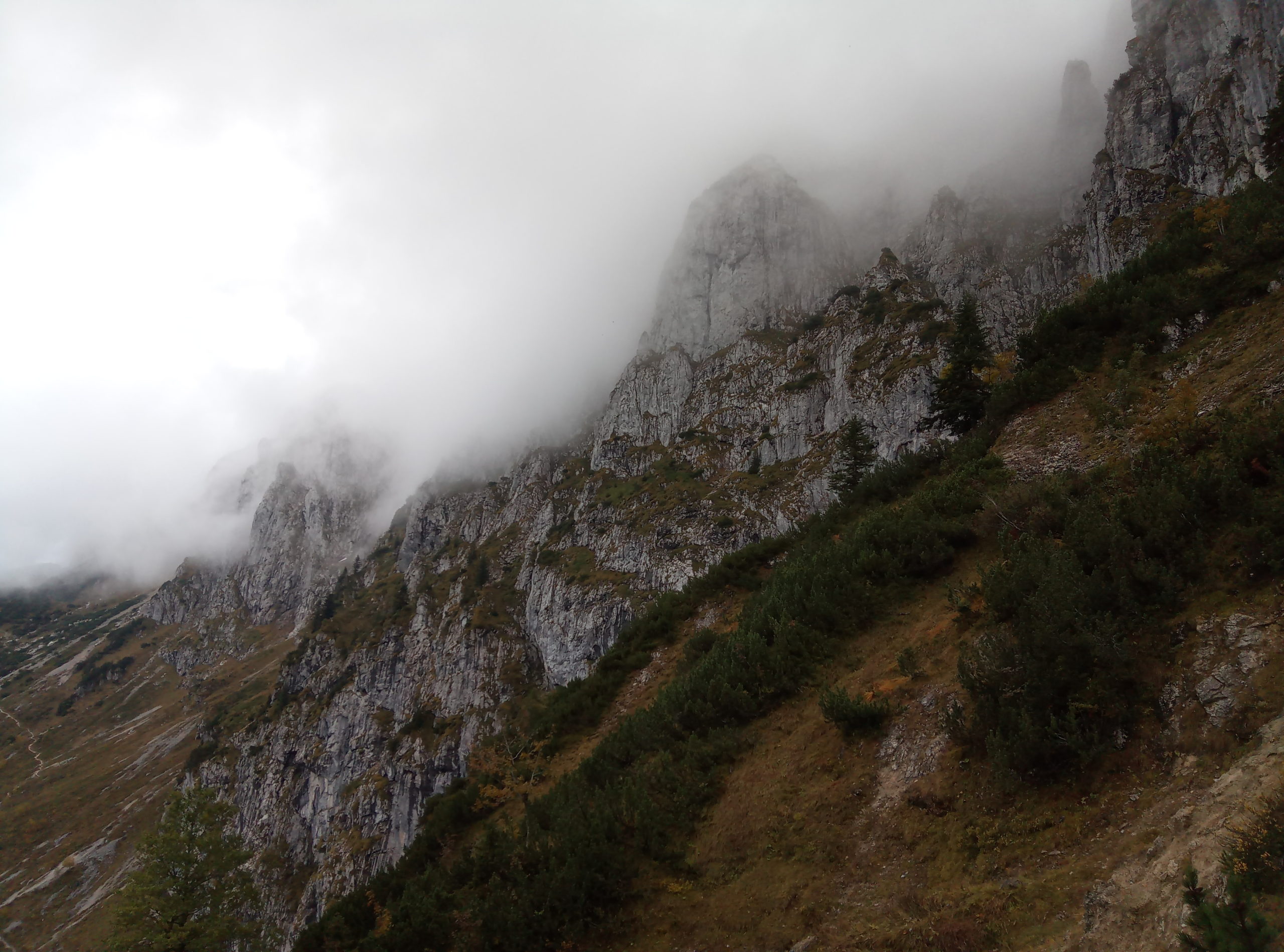
Up to the Tutzinger Hütte easy mountain hike, the east ascent to the Benediktenwand is more demanding and has two wire-rope-secured rock steps and smaller well-worn scree passages. You need to be sure-footed and free from vertigo for the ascent to the summit. The summit can also be reached from the Tutzinger Hütte via the easier west ascent.
Motorway Munich – Salzburg, exit Holzkirchen and follow the B13 to Bad Tölz and then the B472 towards Bad Heilbrunn. After Bad Heilbrunn, turn onto the B11 towards Kochel and drive to Benediktbeuern. At the end of the town, follow the signs to Alpenwarmbad on the left and then continue straight on to the Gschwendt hikers’ car park, which is somewhat hidden on the right-hand side of the road by the Leinbach stream.