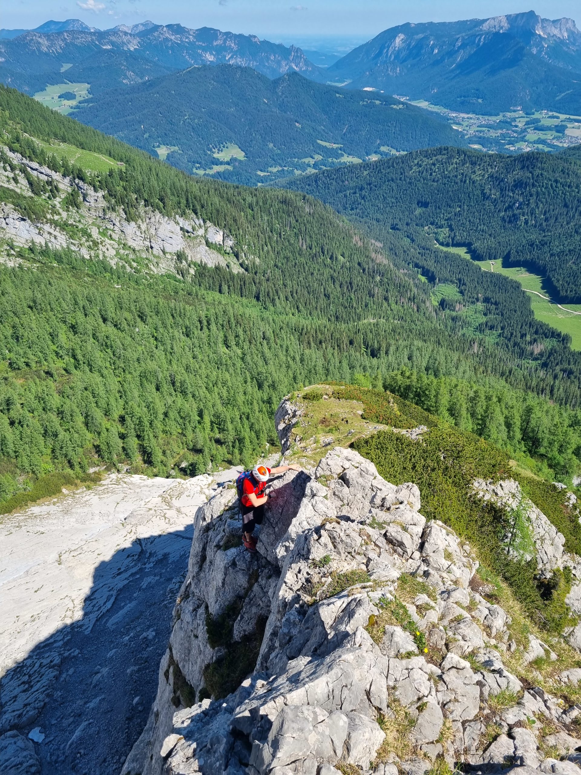
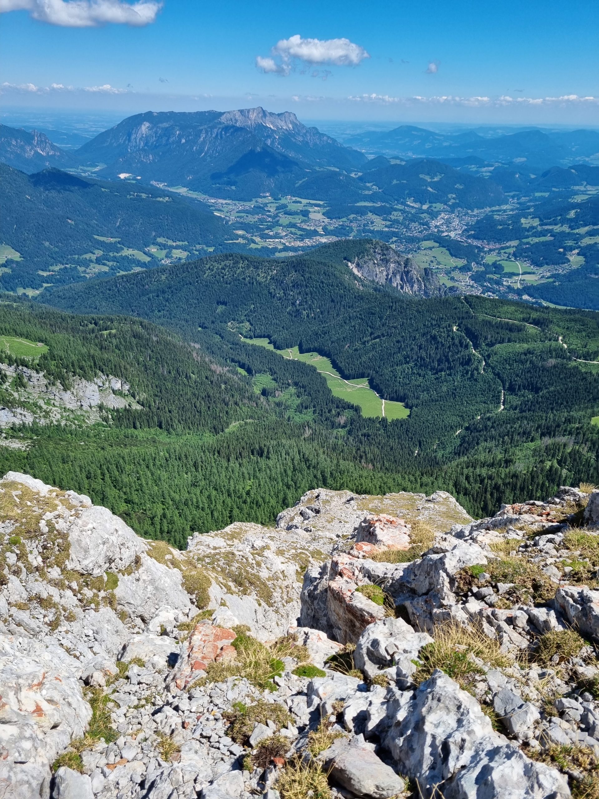
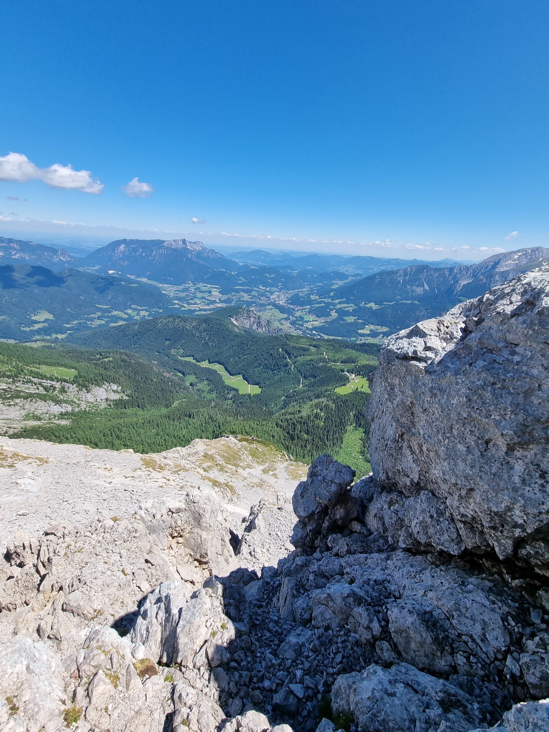
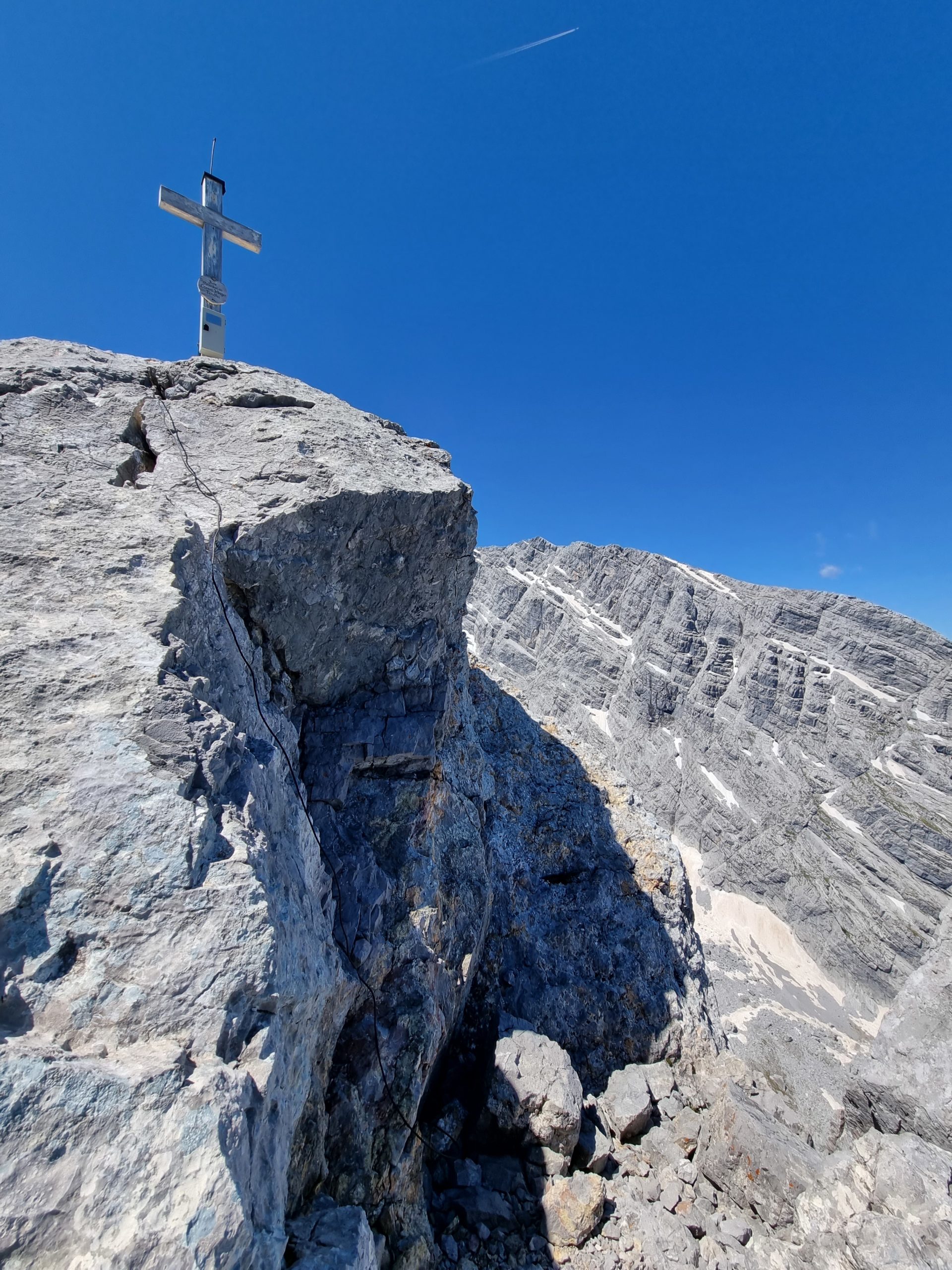
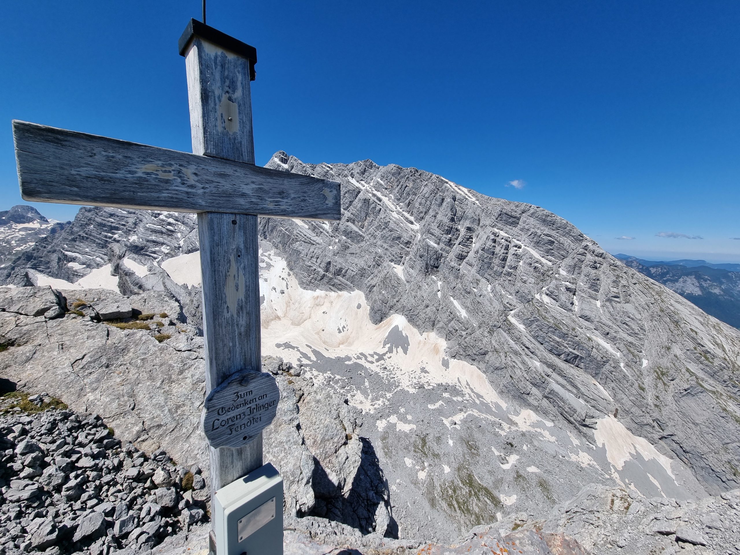
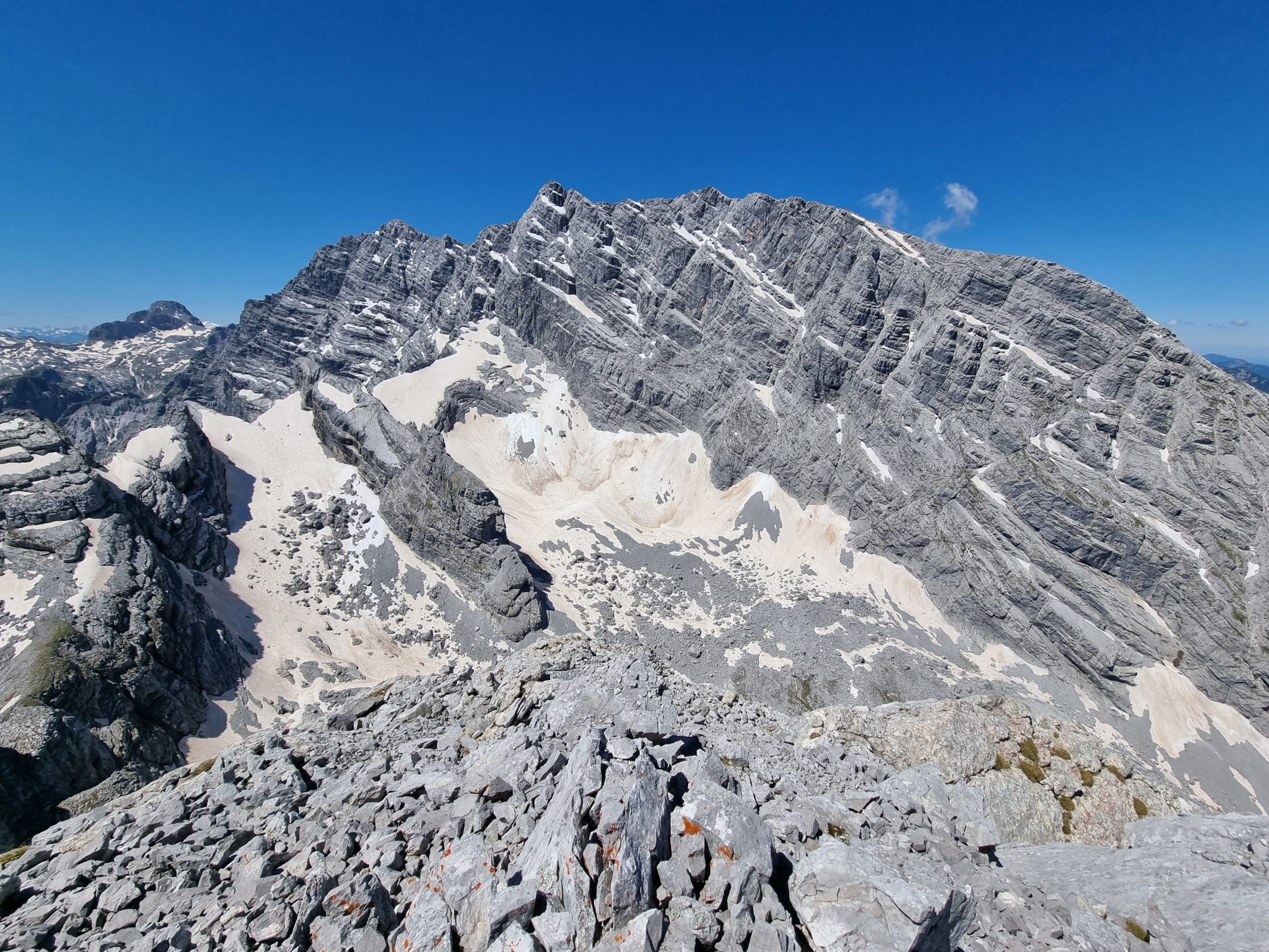
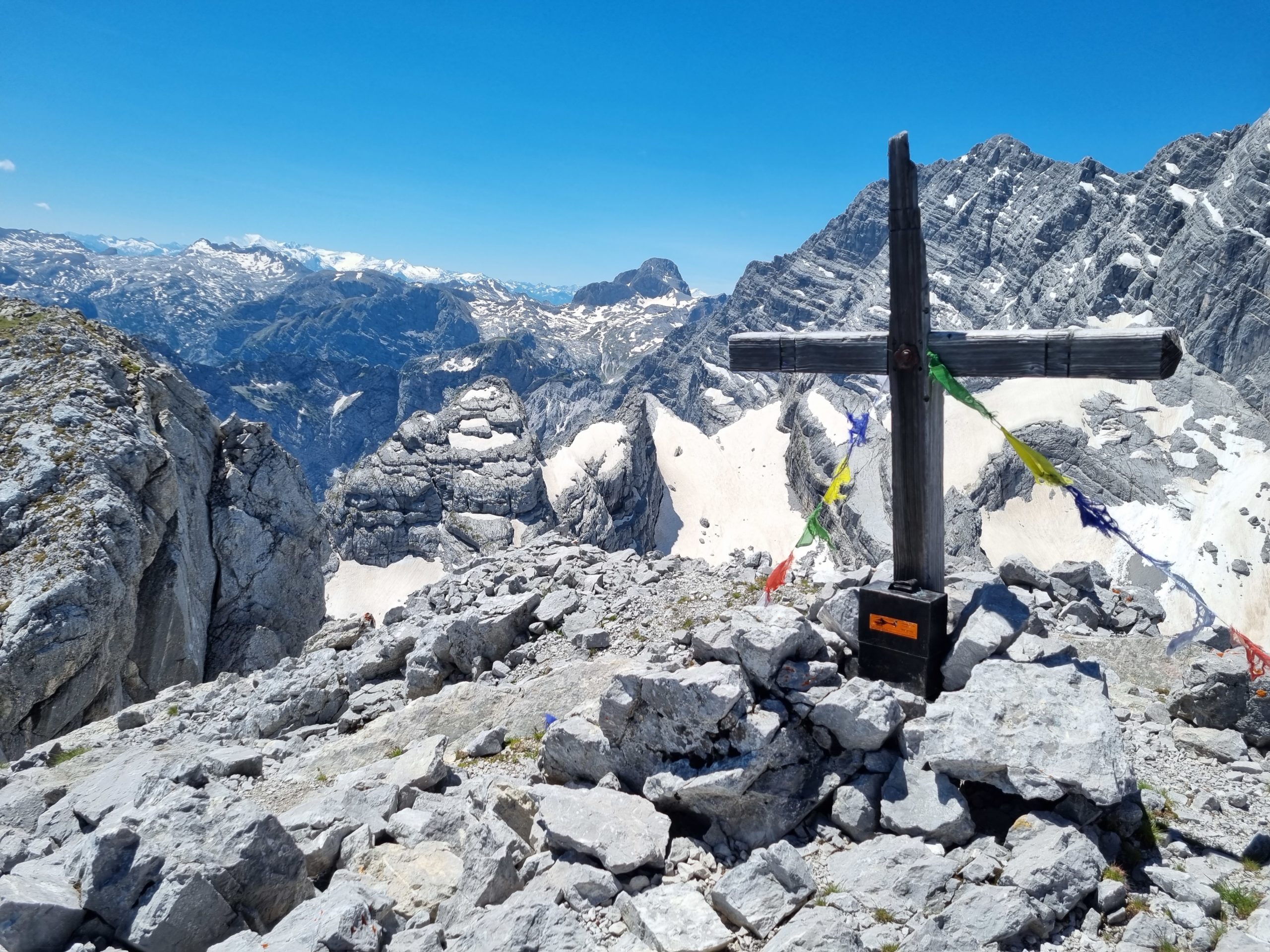
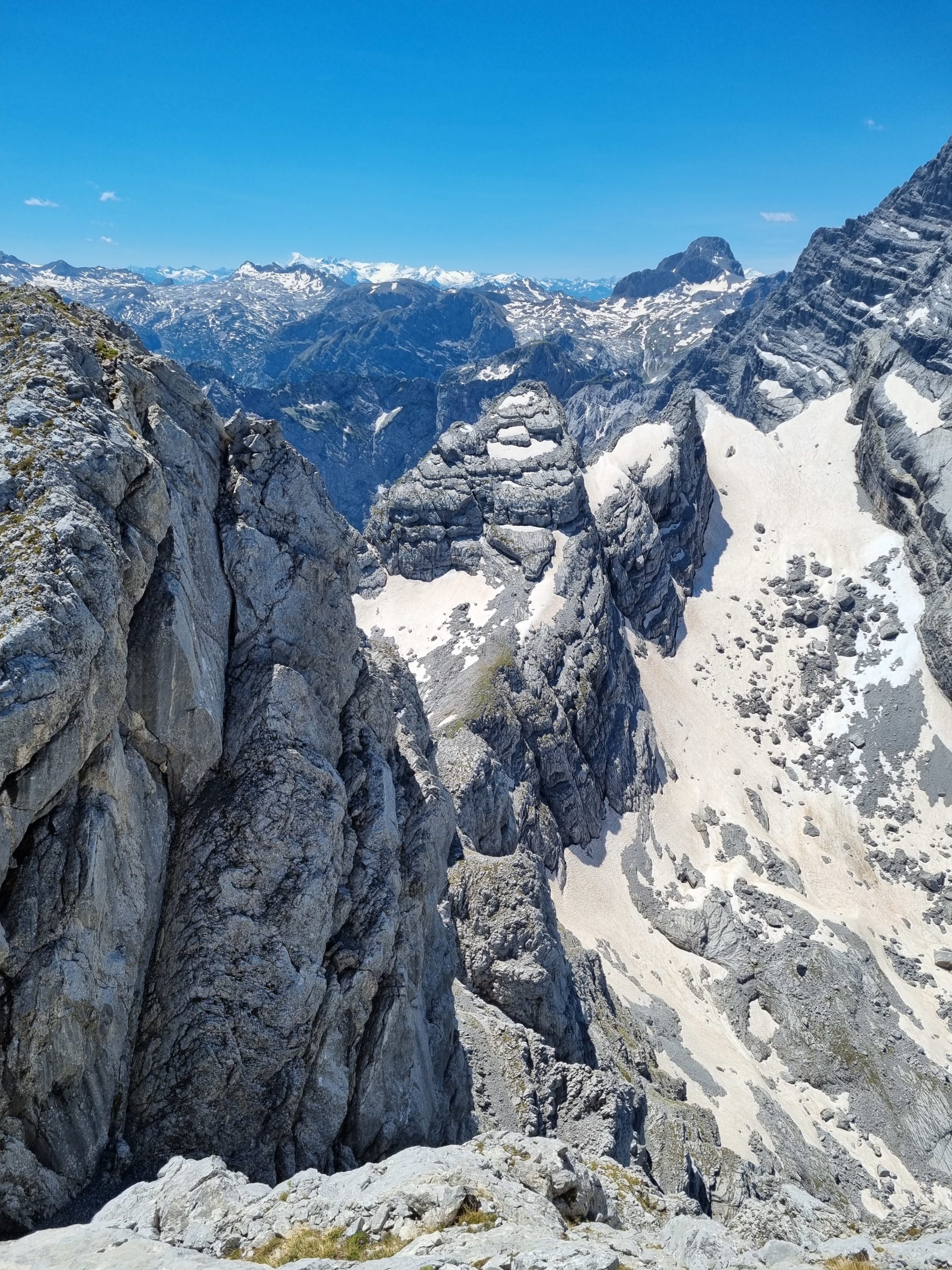
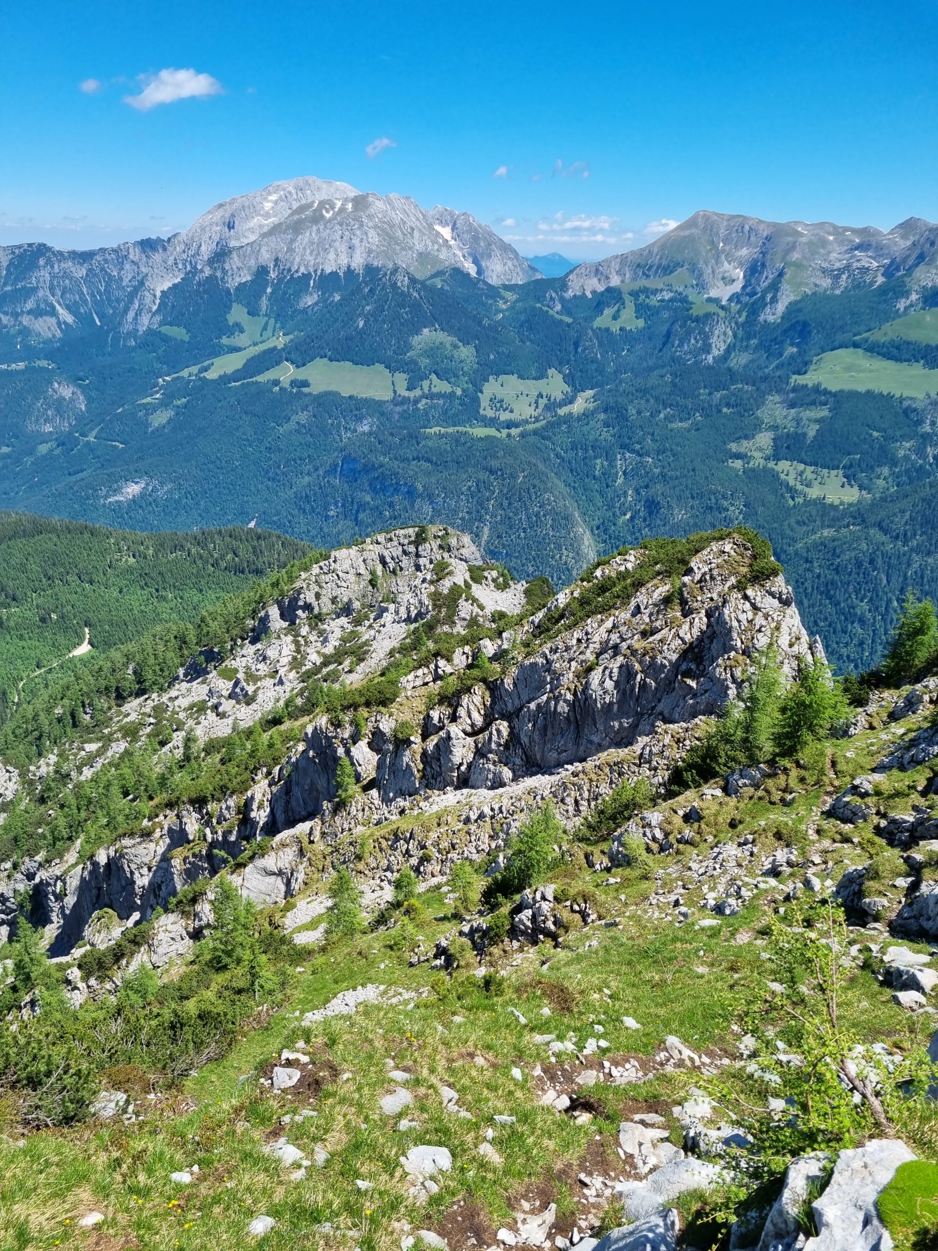
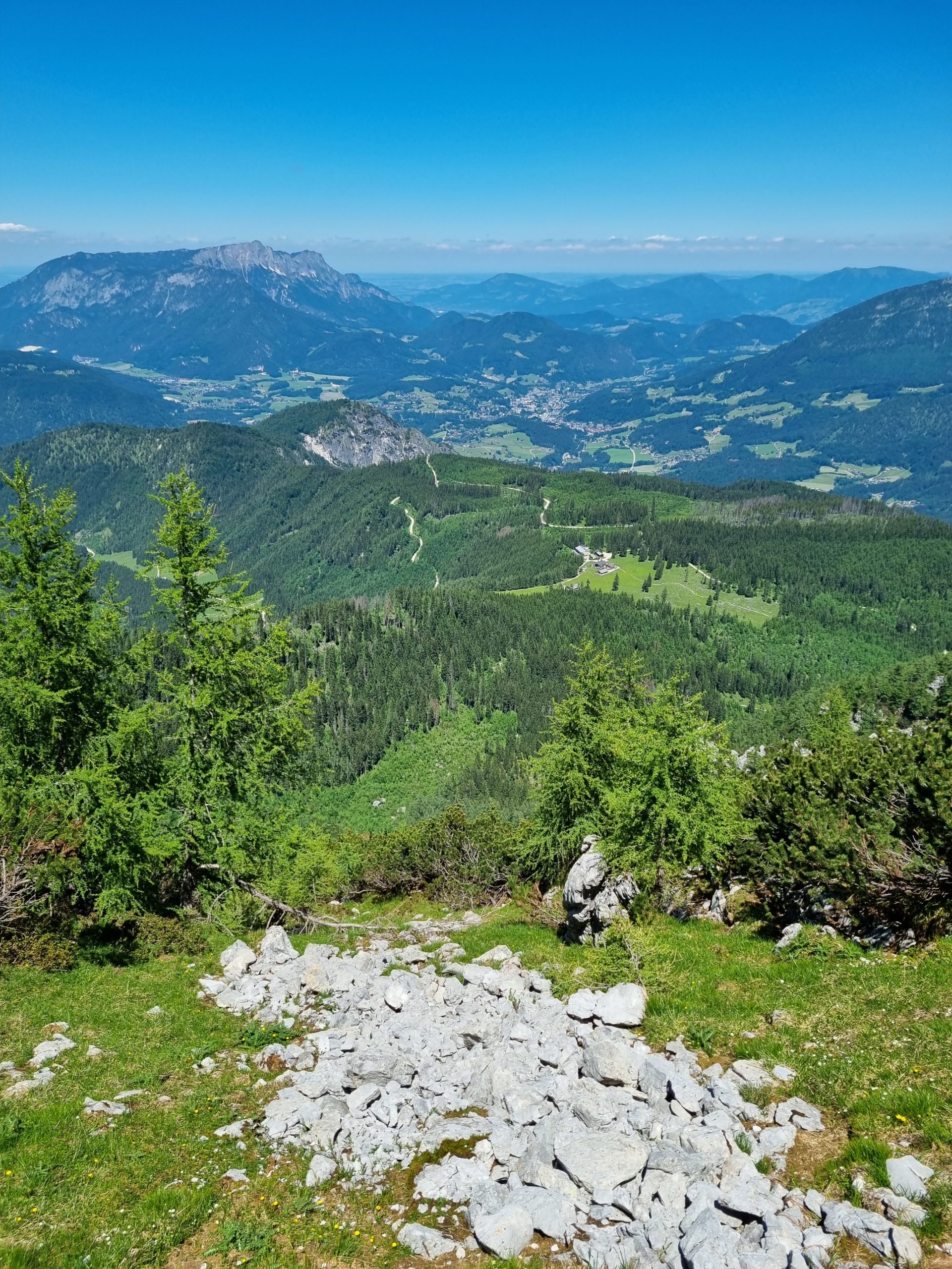
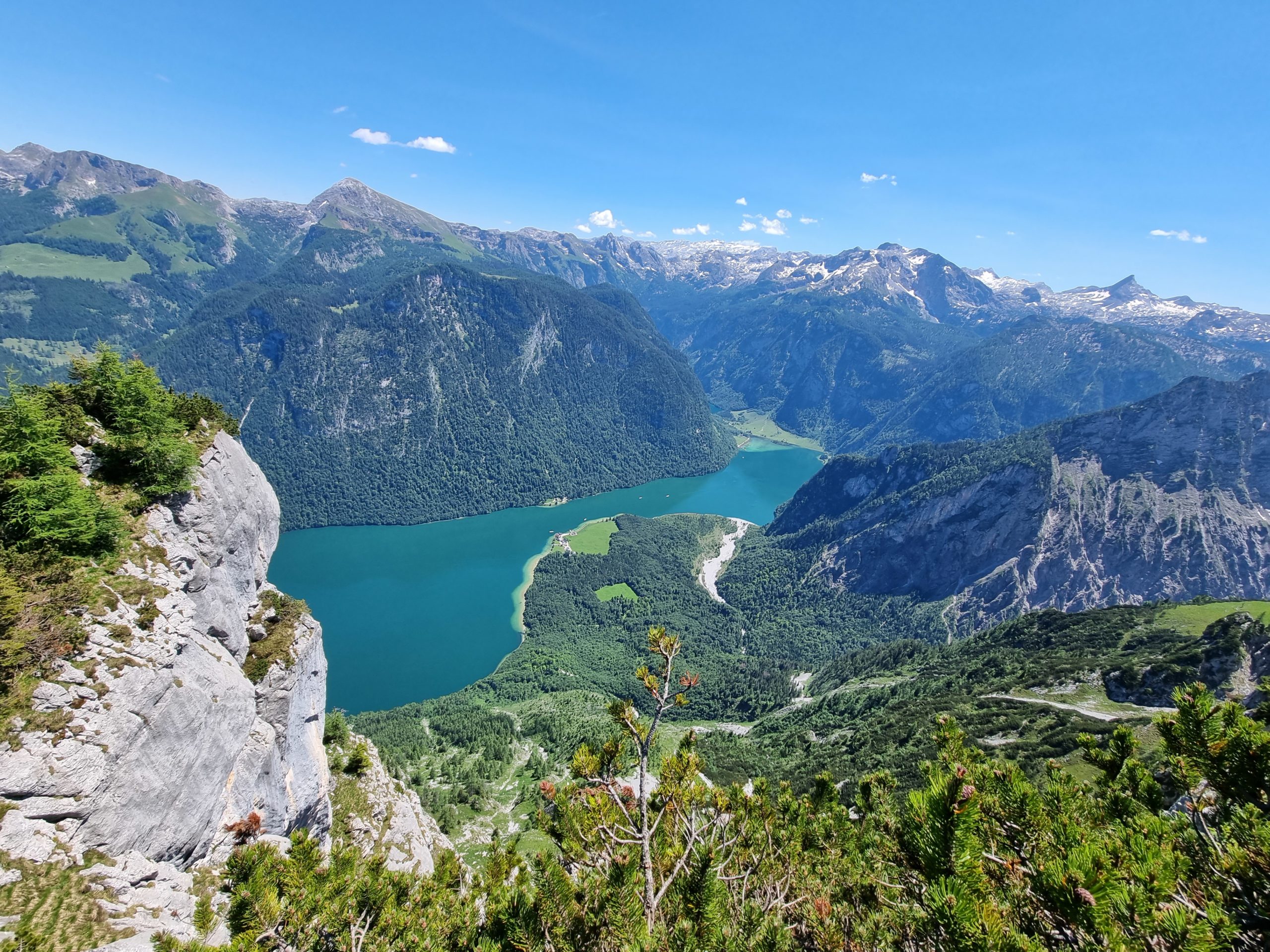
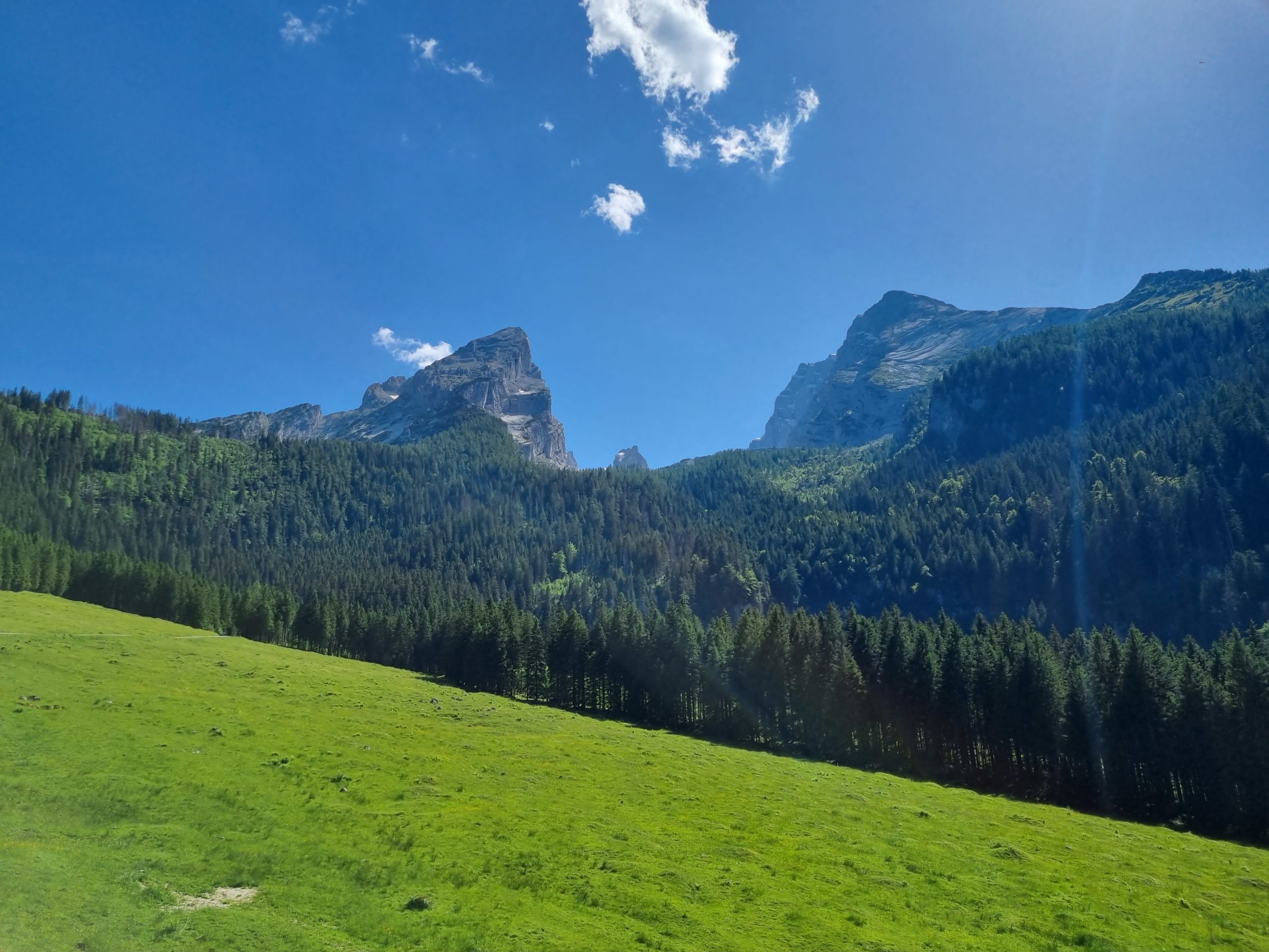
Very nice tour with easy, partly exposed climbing sections on the Kleiner Watzmann, also called “Watzmannfrau.” Magnificent view of the eastern flank of the Watzmann, the Königsee and the entire Berchtesgaden mountain world.
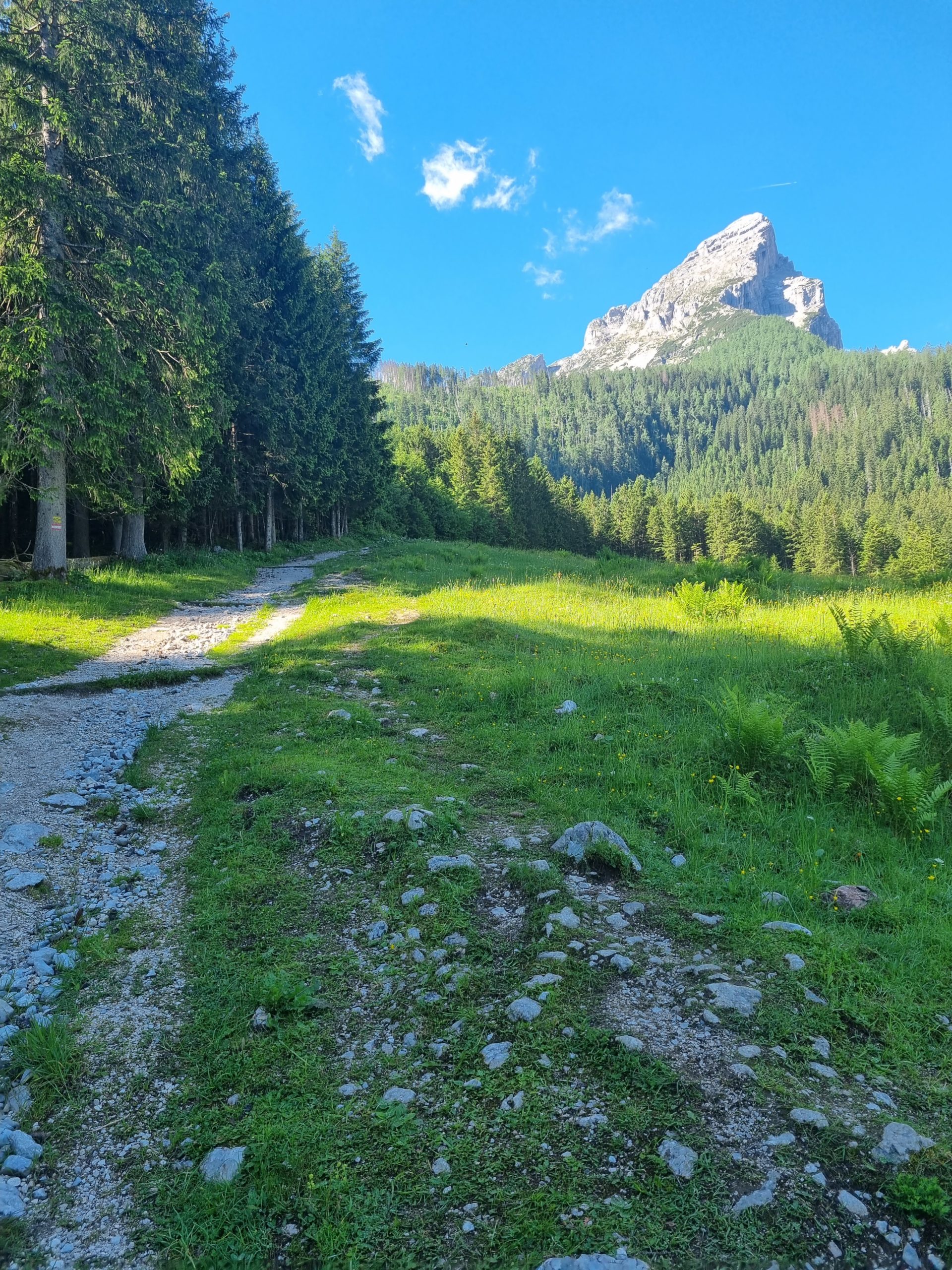
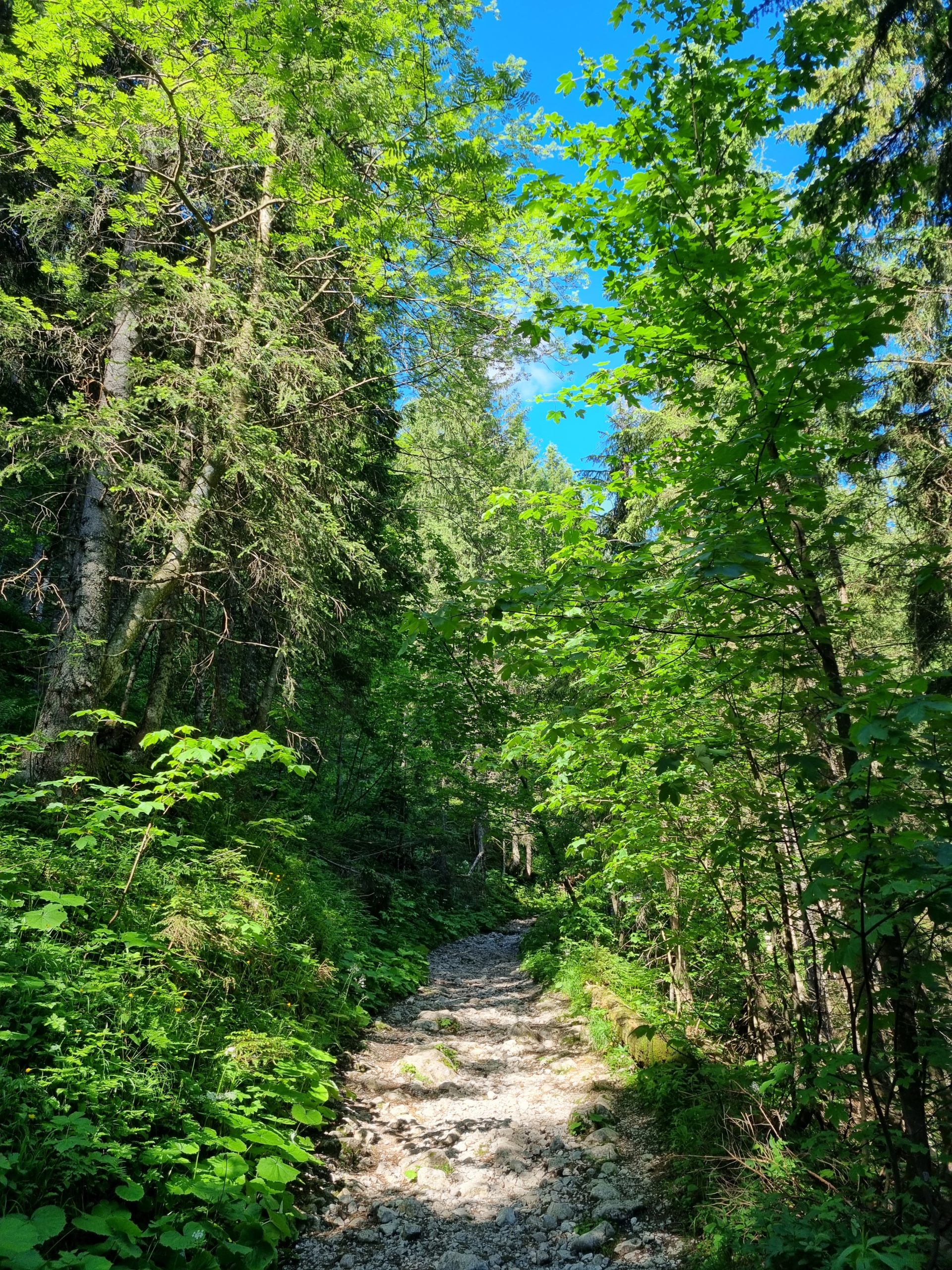
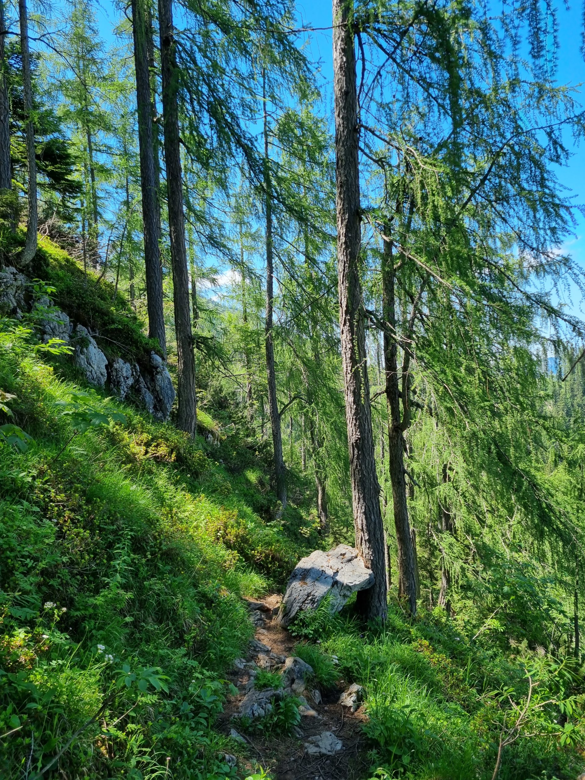
Hike on the hiking trail to the Watzmannhaus past the chapel and Kührointalm. Immediately after the alpine pasture leave the path to the left and climb on a lift track to its end. Continue right into the forest and follow the well-trodden path to the tree line.
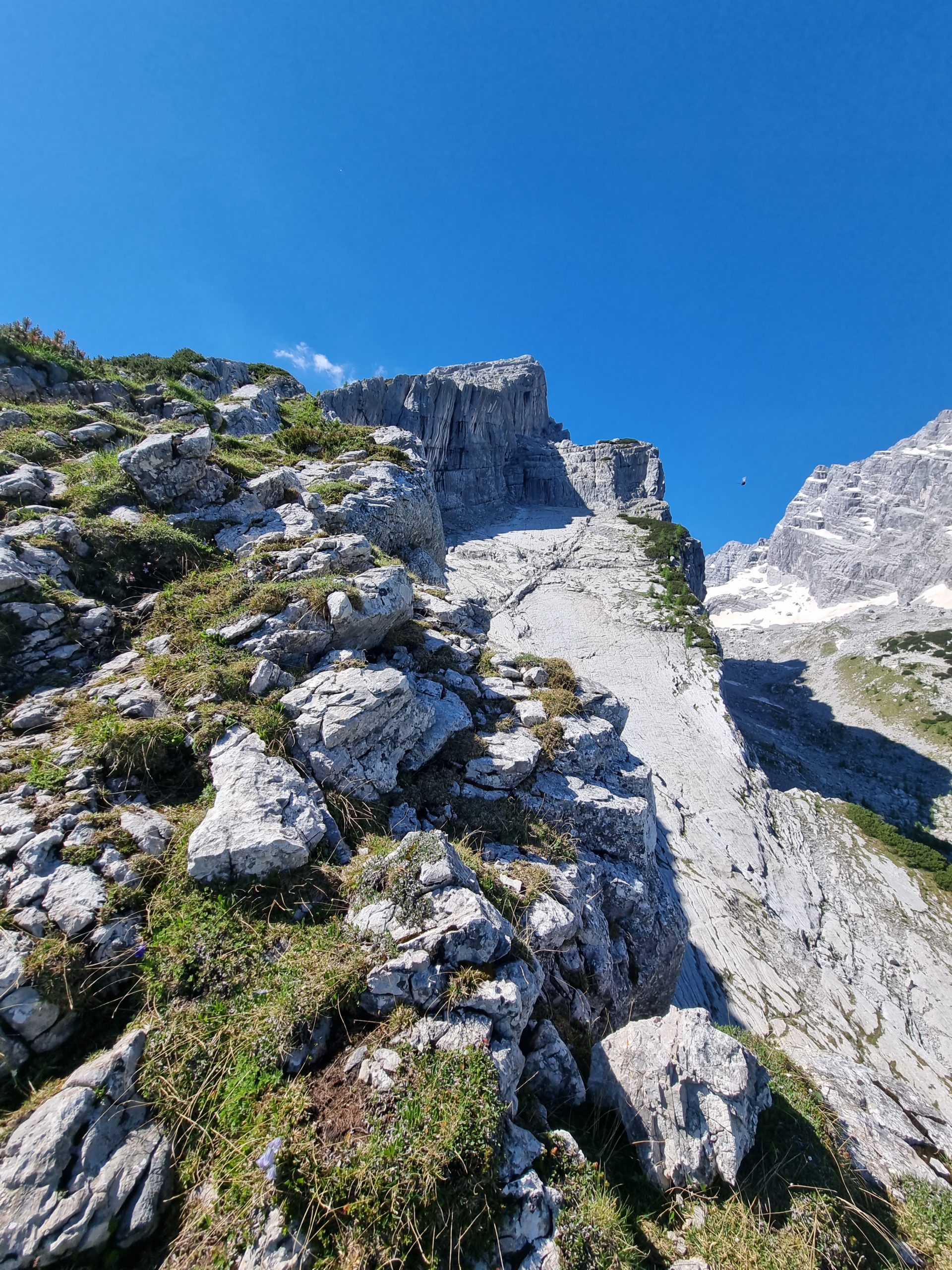
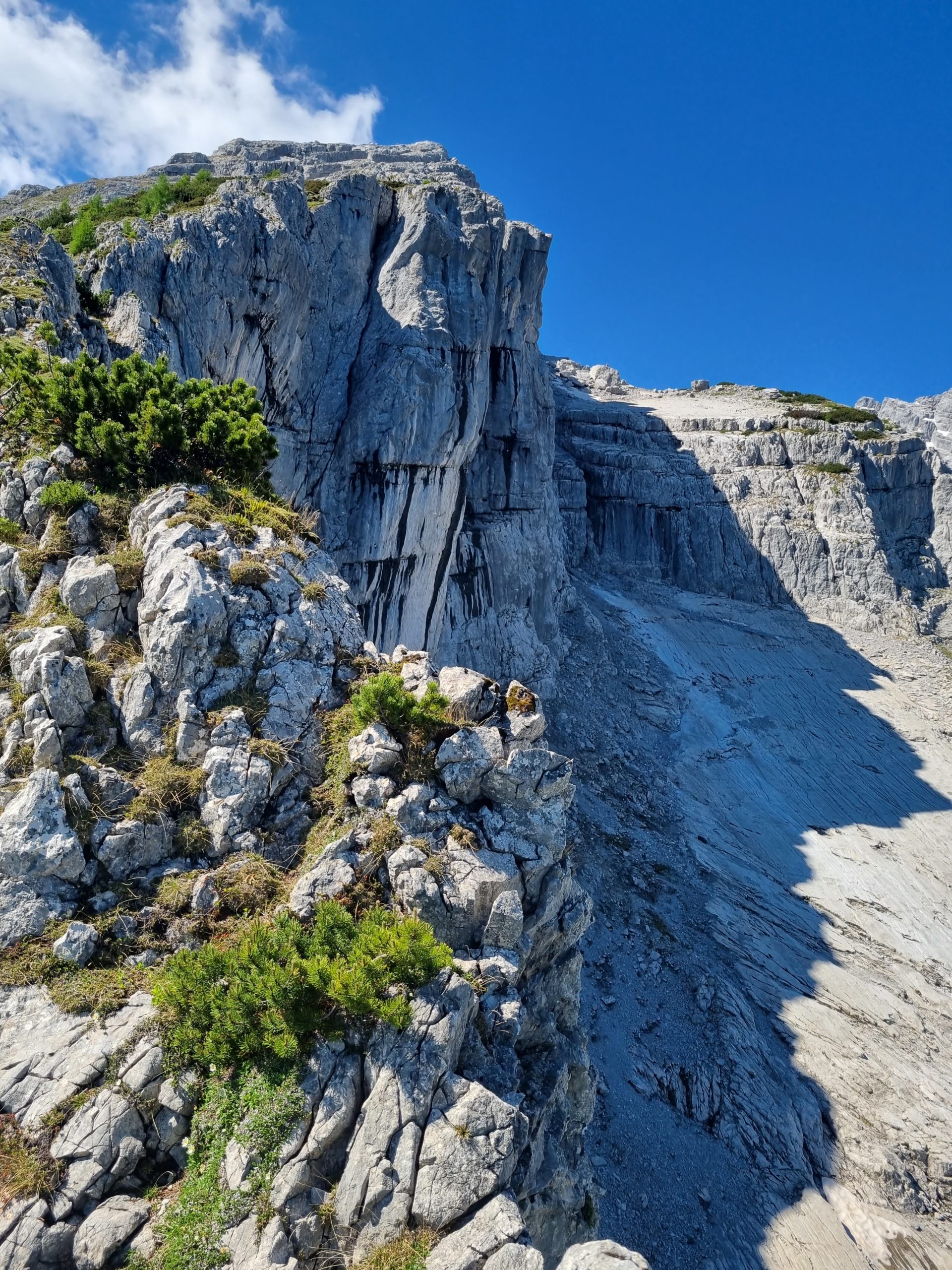
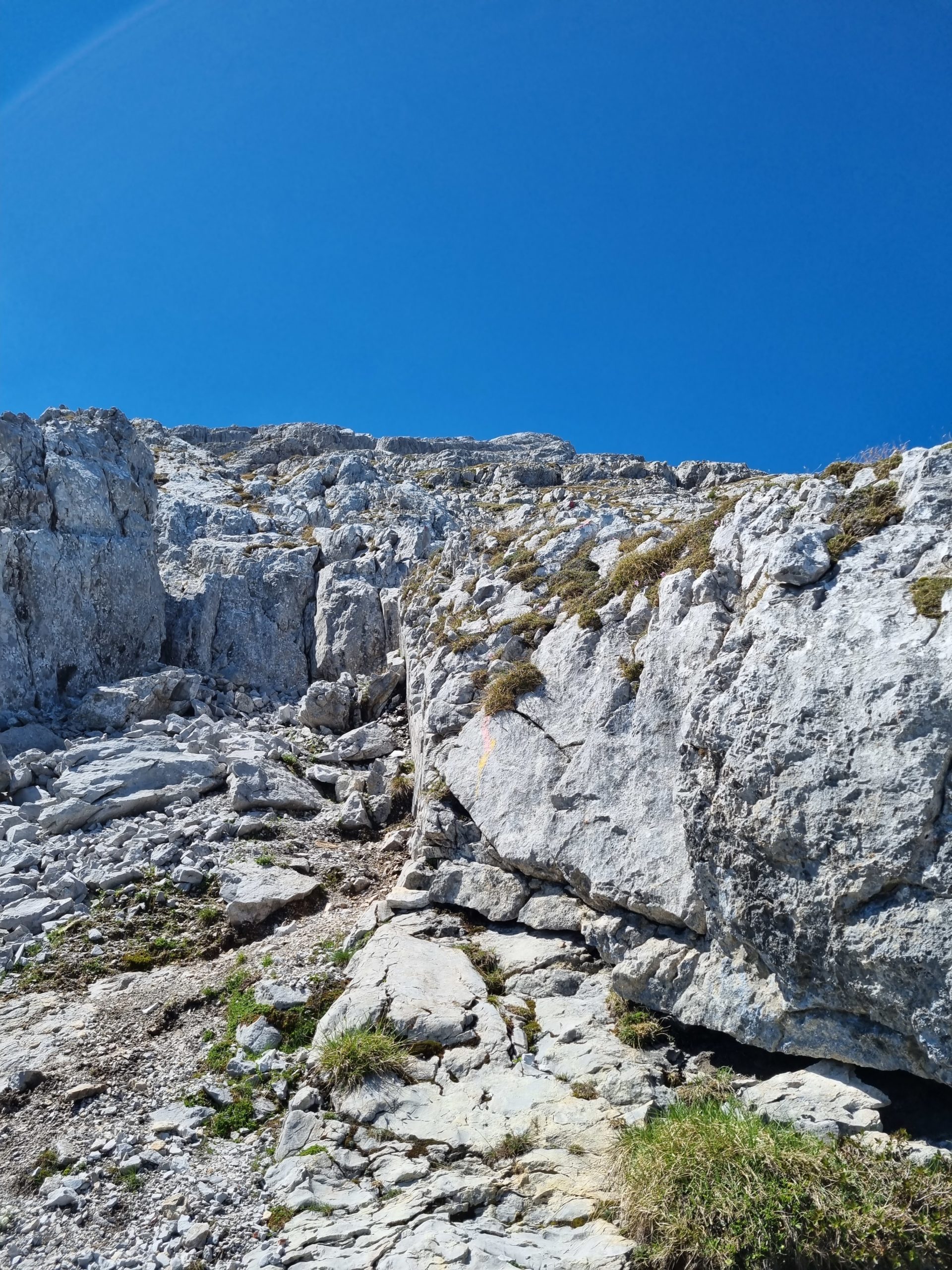
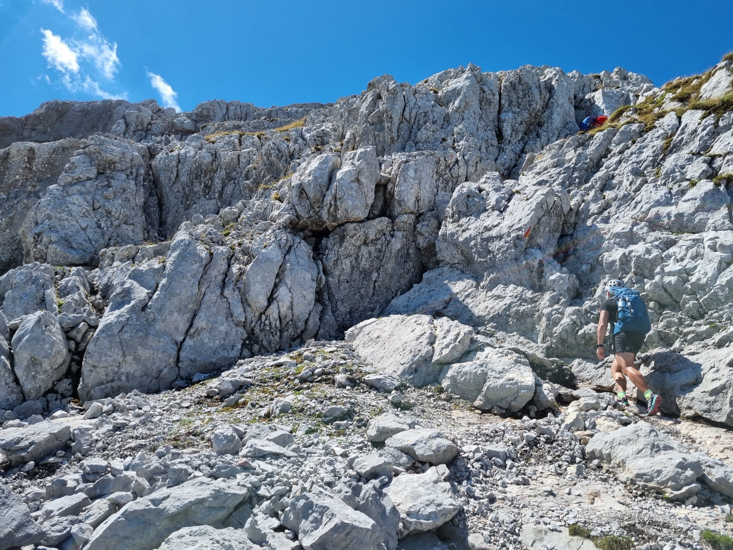
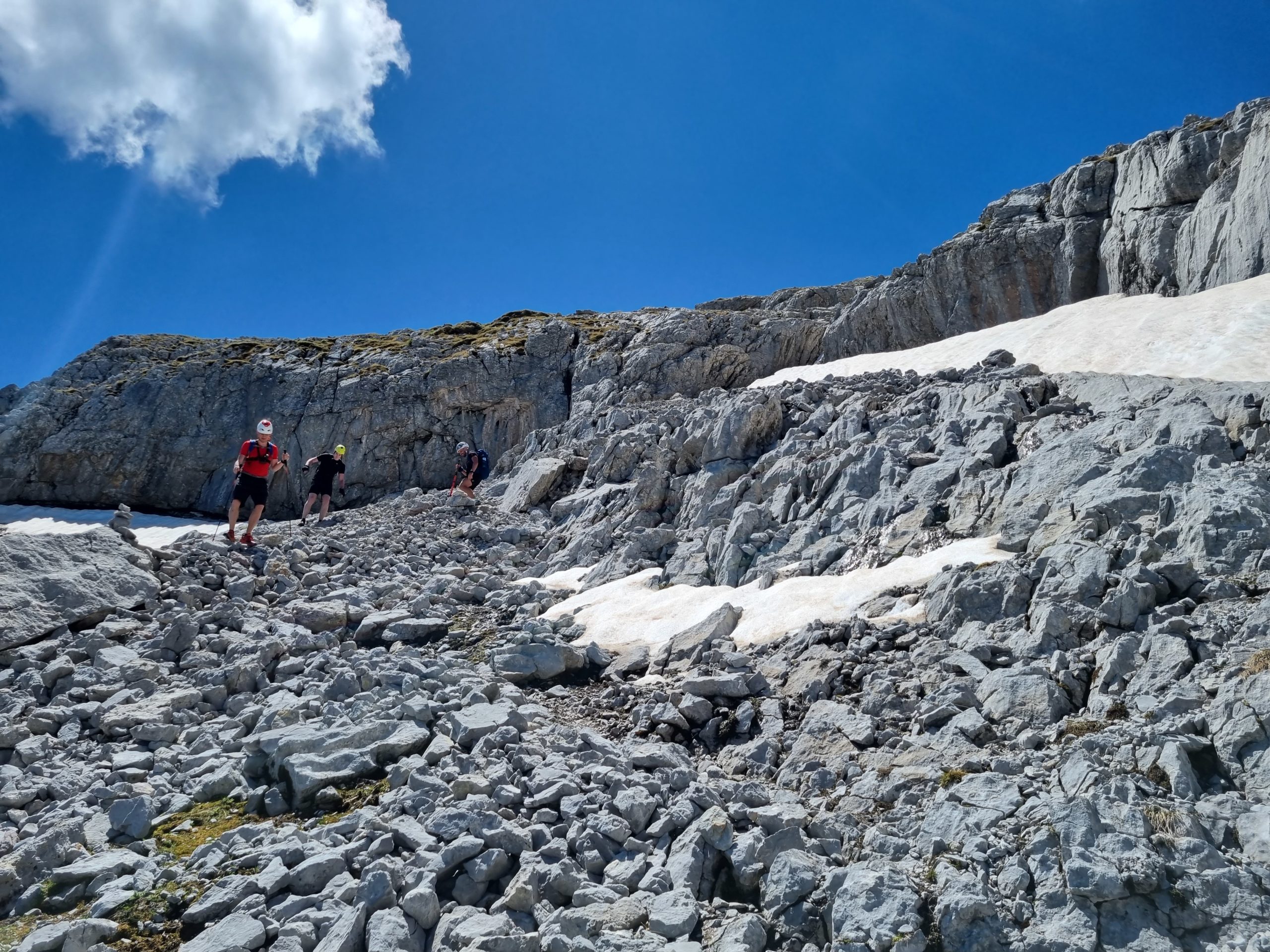
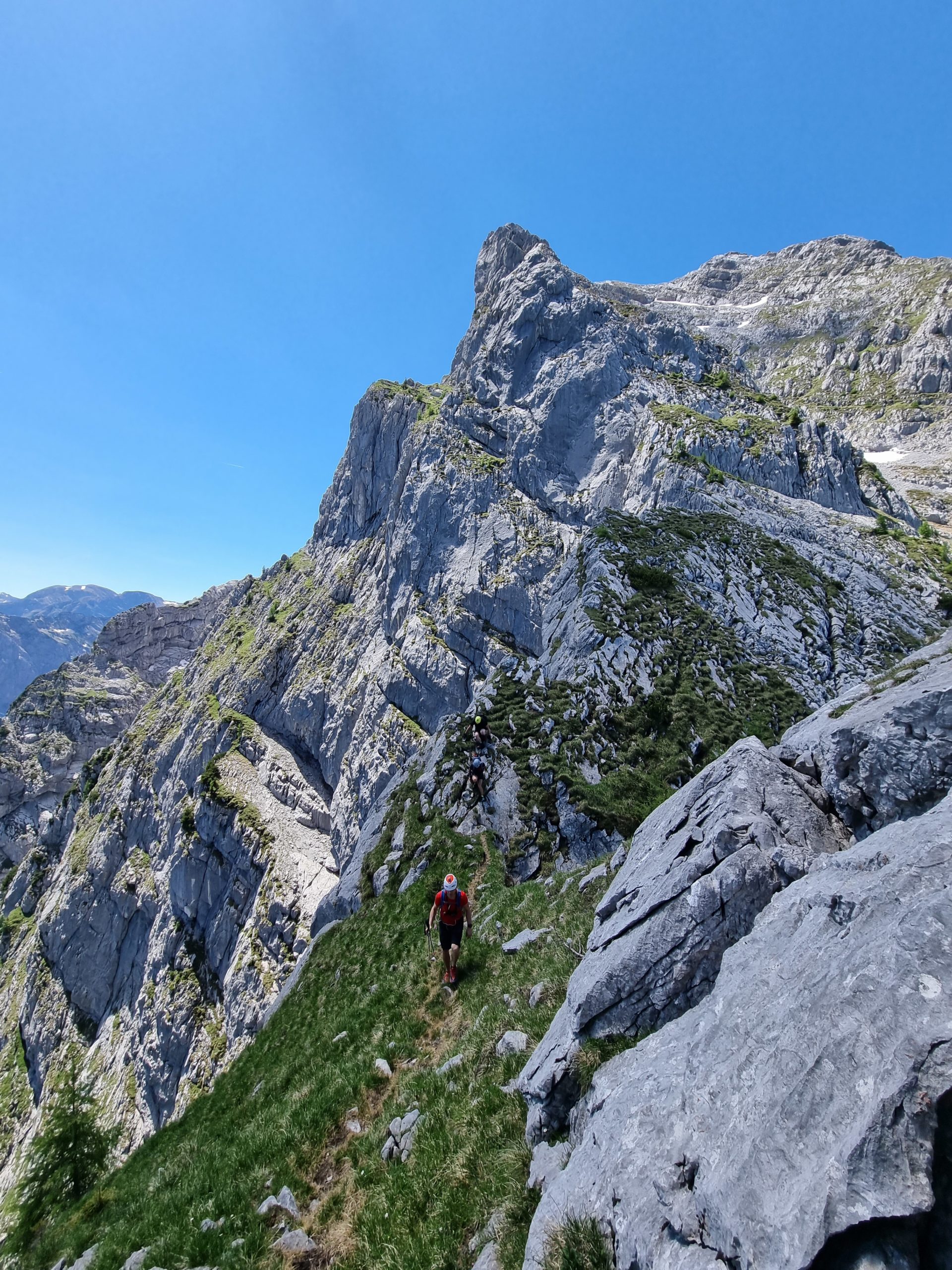
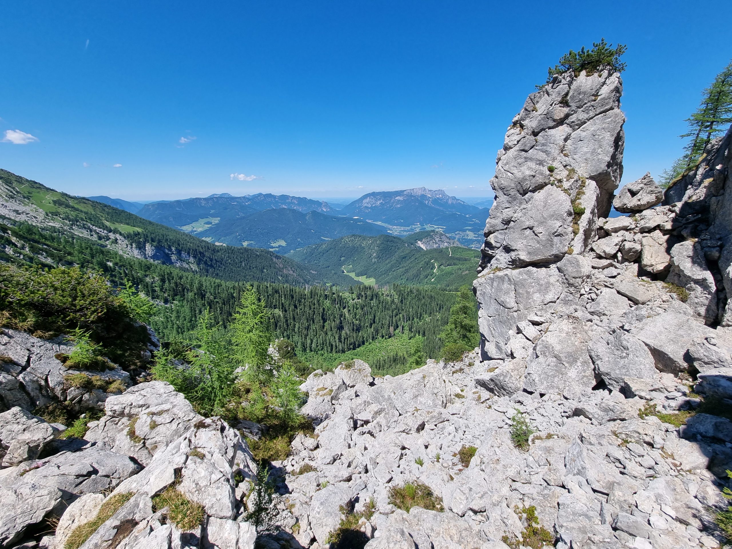
The path now runs along the western precipices to the “Gendarme”, a short airy climbing spot. After the gendarme, the trail continues over scree and grassy banks and with short climbing sections through chimneys and upturns to the summit. The trail is faintly marked in yellow.
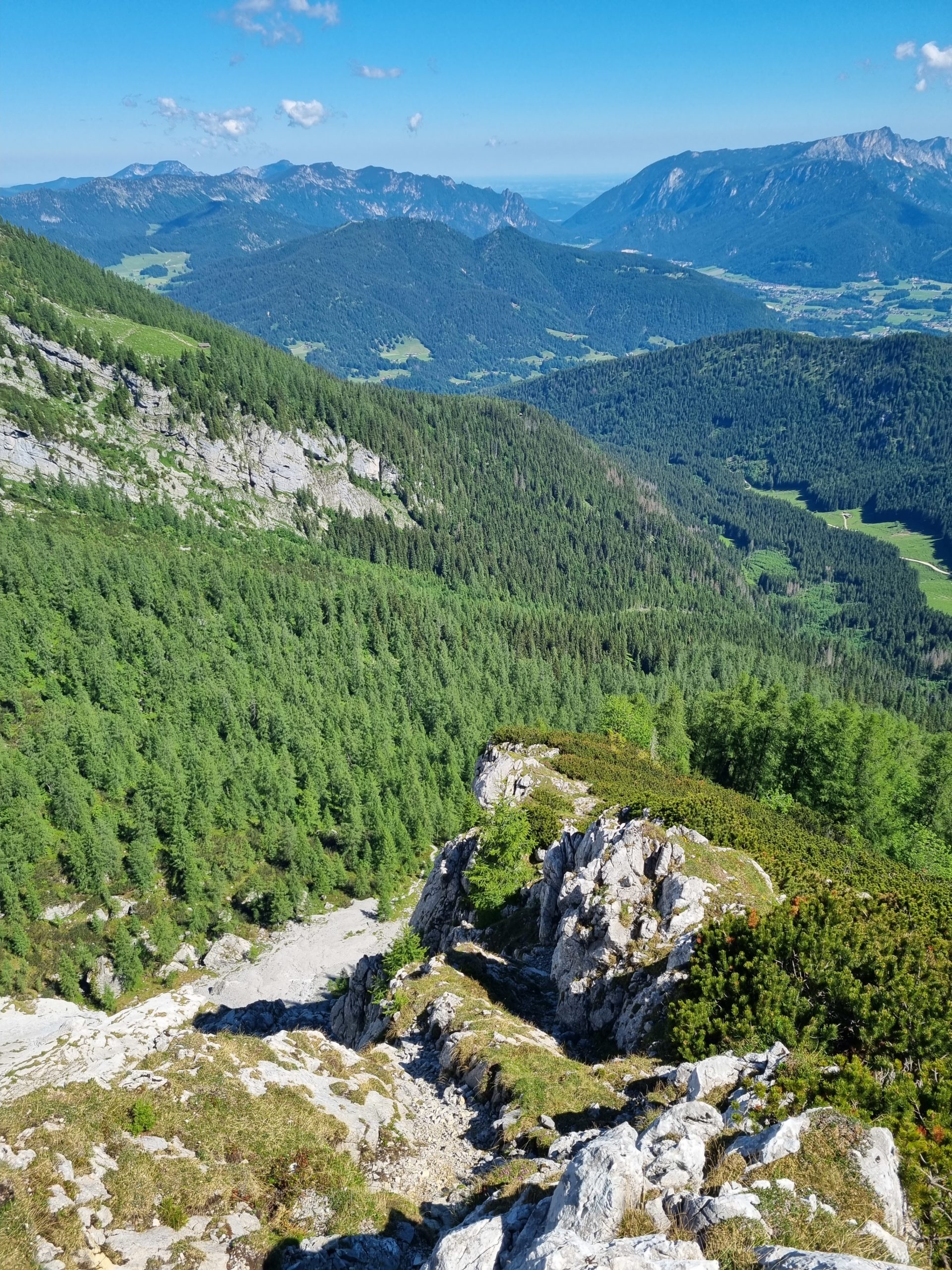
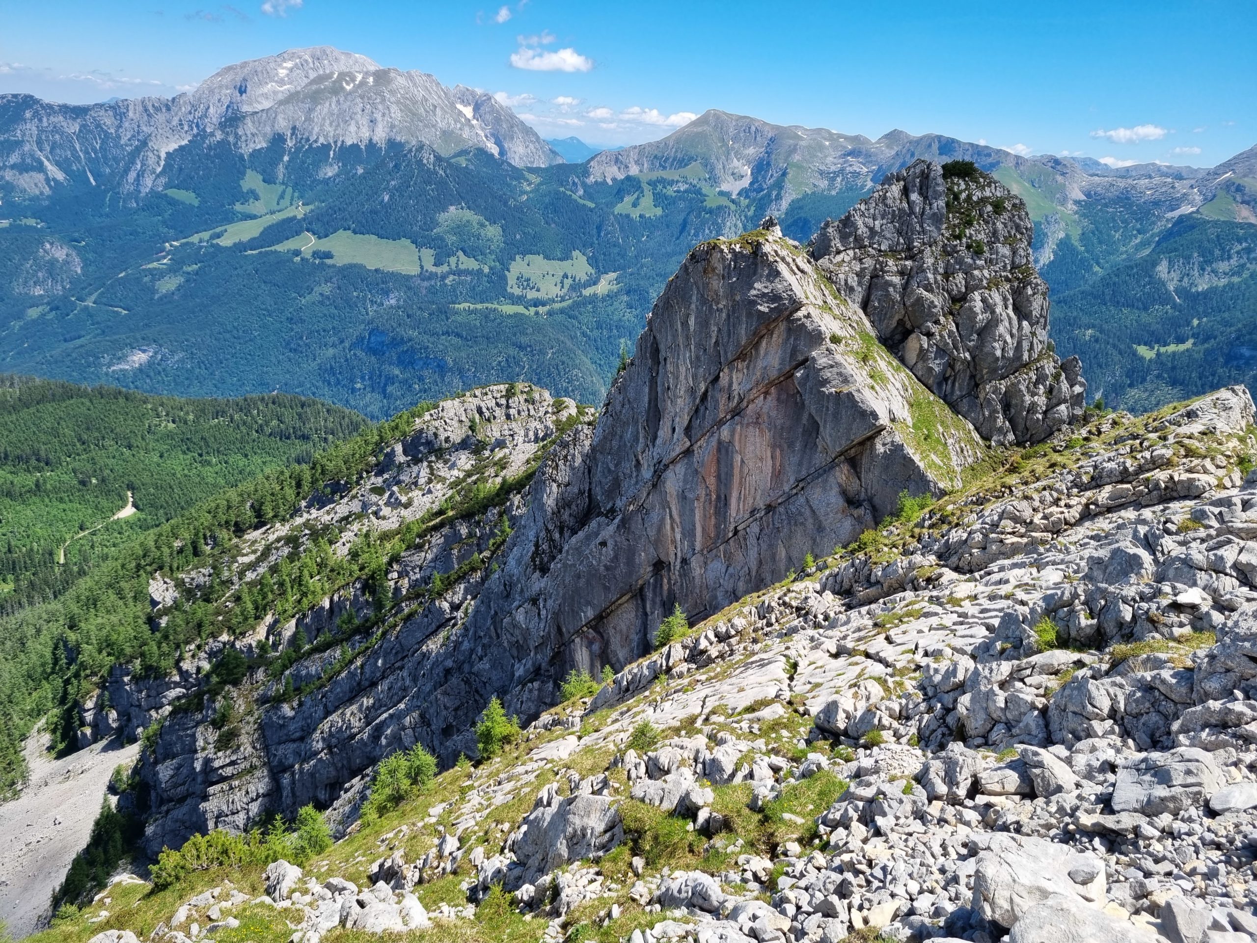
For the descent to the Mooslahnerkopf it is best to pay attention to the numerous stone staves. At the saddle of the ridge upswing you cross to the south and climb briefly over a well-trodden path on the ridge to then switch back to the north side. Always follow the tracks and stone staves on the north side of the ridge, through a rock gate with a clamping block, to the summit of the Mooslahnerkopf.
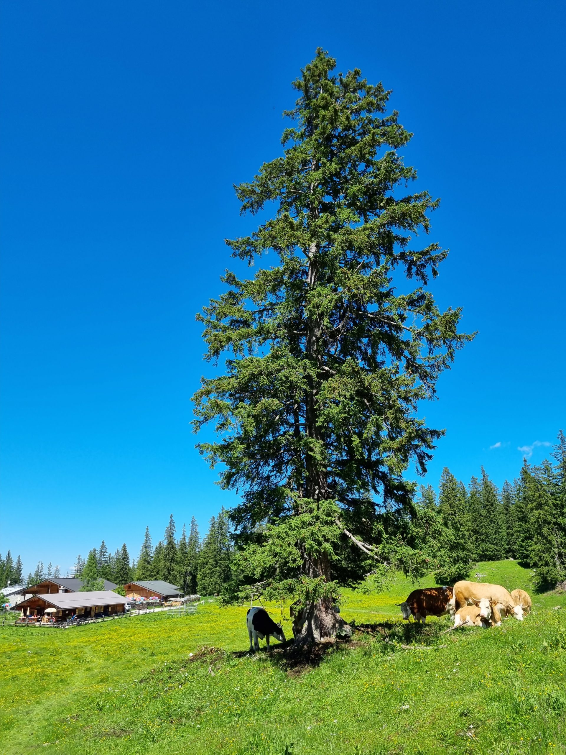
From the Mosslahnerkopf on well-trodden path to the forest road, cross it and continue on a clear path back to the Kühroin hut.
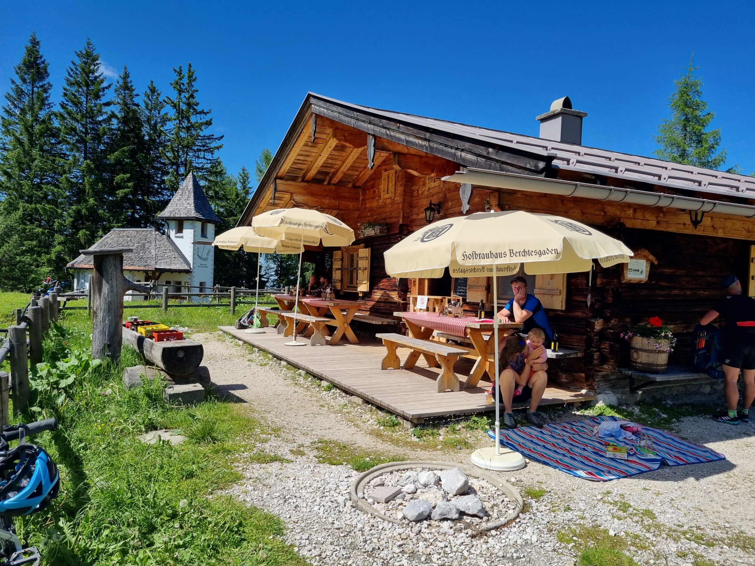
Ascent: Hammerstiel (750m) – Schapbachhütte – Schapbachalm – Kühroint.
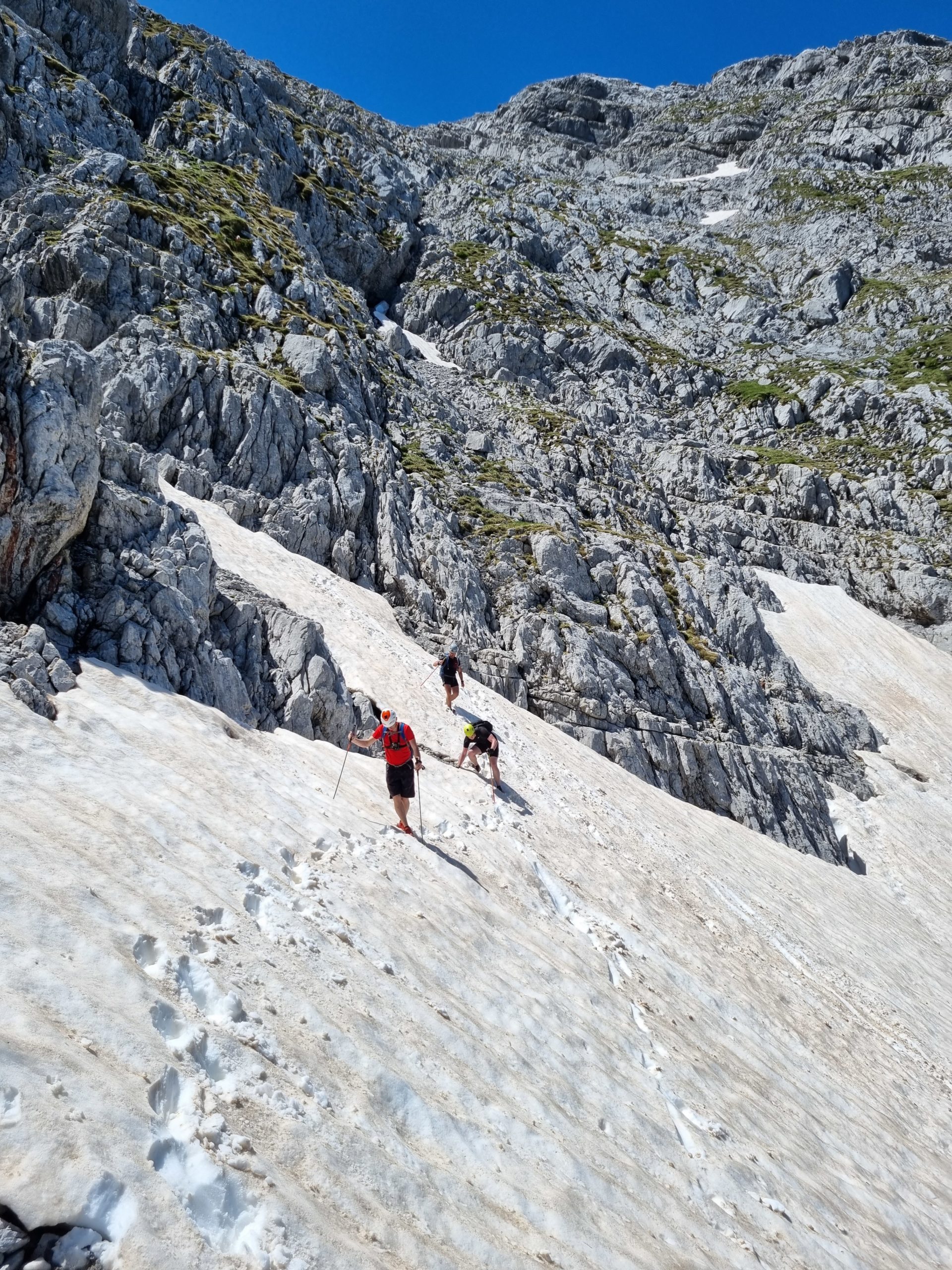
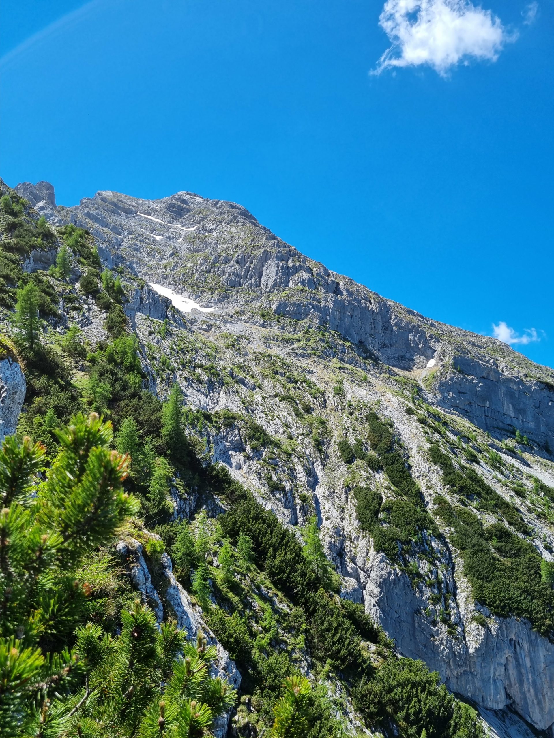
From the Kühroint hut, follow the path in the direction of Falzalm/Watzmannhaus for approx. 15 minutes. After two serpentines, a clear path branches off to the left at approx. 1465m into the Watzmannkar. Follow this upwards into the cirque. A prominent diagonal left upward cut crosses the southwestern part of the west face. Directly below this, where the gravel reaches the furthest up, is the safe entry point, or rather the start of the stem (slightly to the right of the Gipfelfallienie). Over the stem along the cracks leading upwards to the left to a large cairn (approx. 100m). Now traverse horizontally to the left to the 1st piton (up to II).
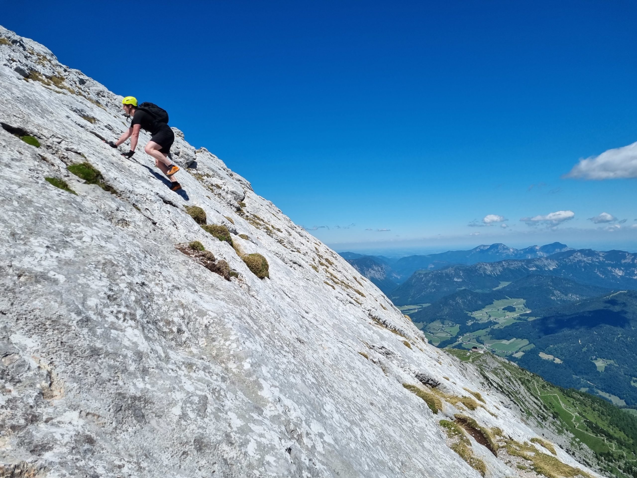
Over the slabby stem, you mostly climb rope-free, only at the traverse you often rope up.
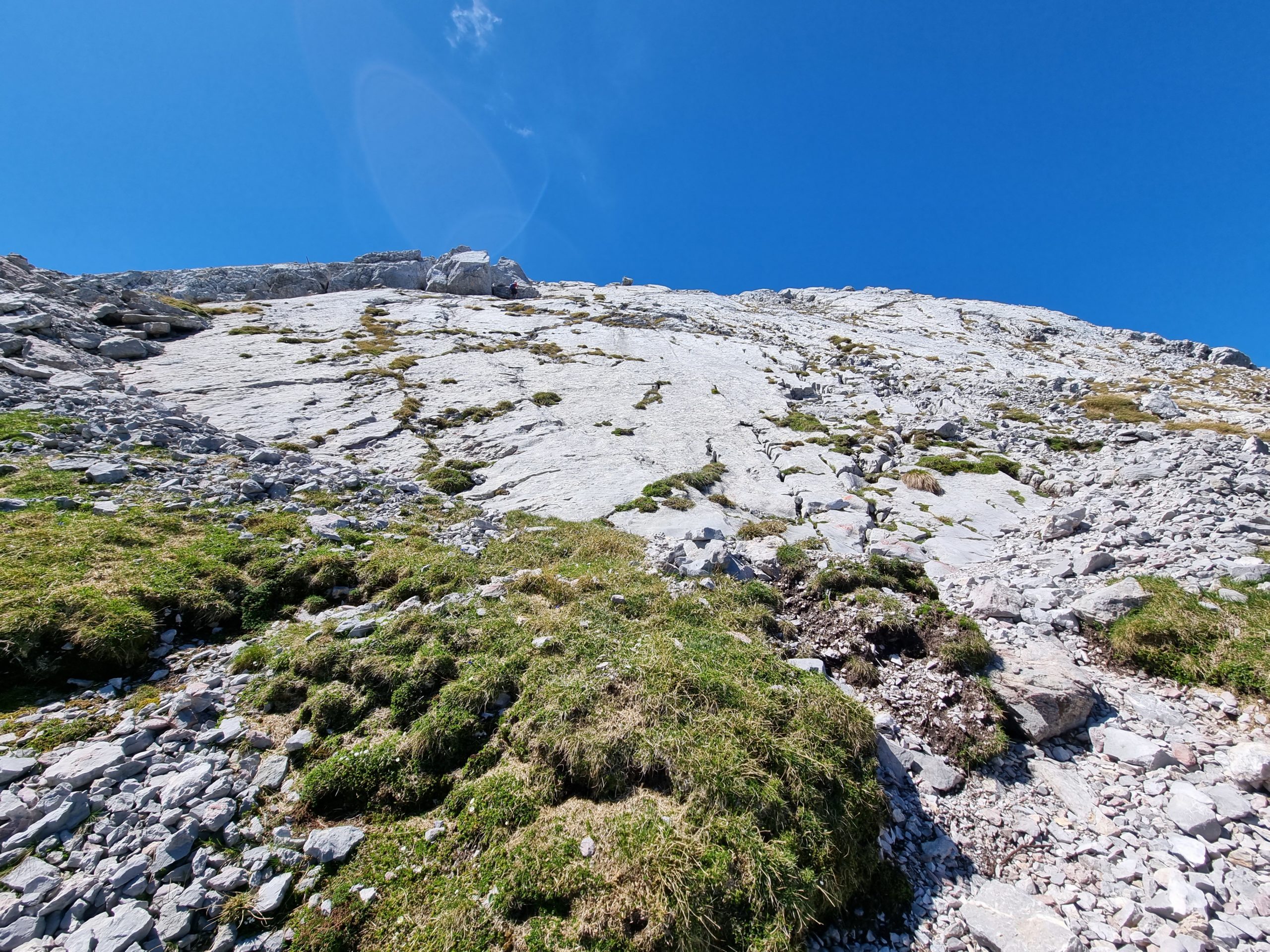
Belay the next four pitches to the big west face. The first SL is very easy but a bit fragile. Then follows quite airy climbing (III+) to the big west wall band.
The route follows the logical course along the band (mostly rope-free). Then we get over rock steps and gullies straight up to the upper SW ridge and the summit.
Descent: Descend via the northeast ridge directly to the Kührointhütte; marked with yellow dots and cairns; mostly walking terrain and I, one spot II.
Difficulty (UIAA):
1 passage III+, in places III/III-, mostly I-II and also walking terrain (on the west face band).
Address for navigation: Car park Hammerstiel, Hammerstielstraße 50, 83471 Schönau am Königssee